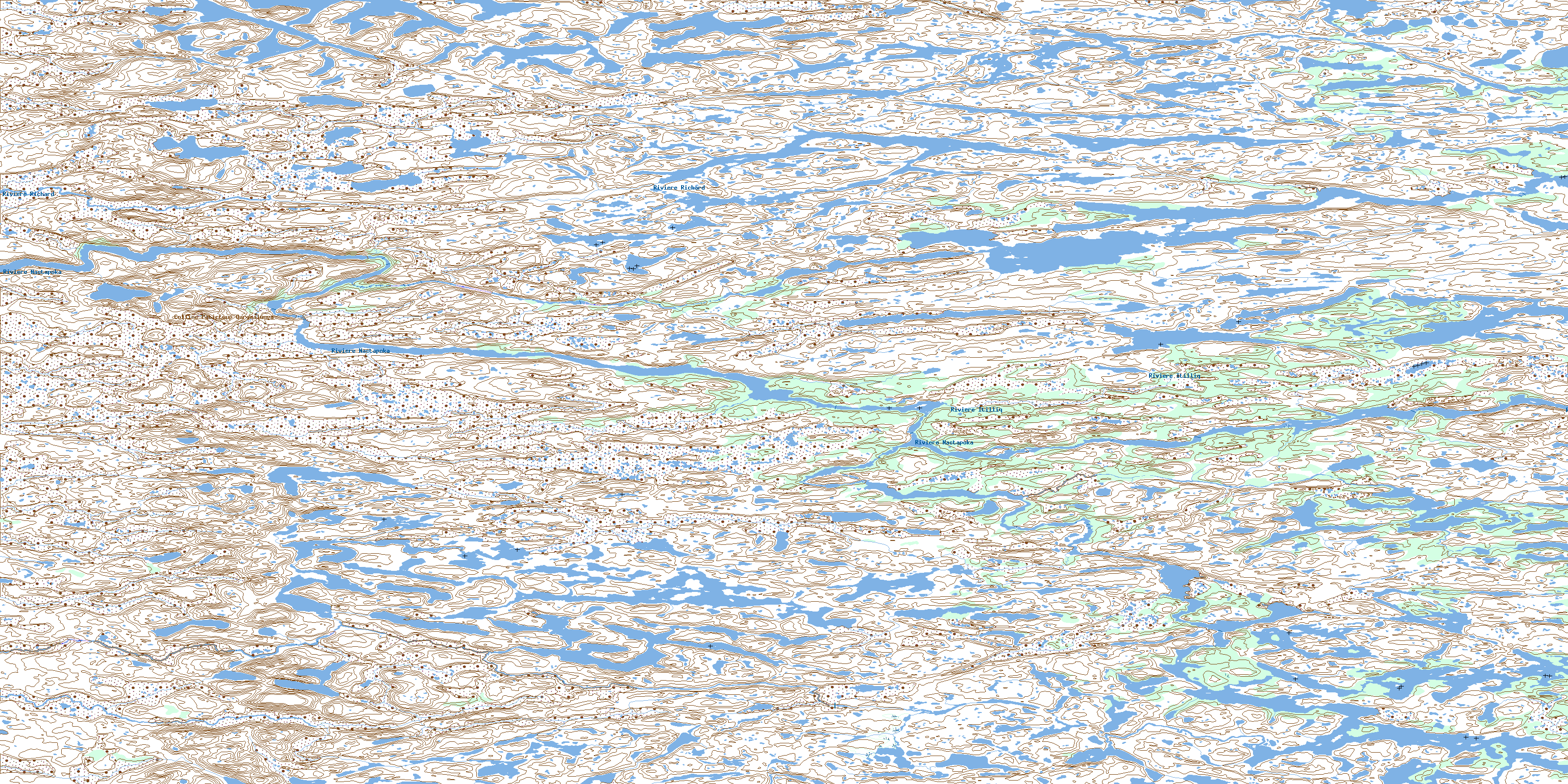
Riviere Itilliq Topo Map Online
Download Free Topo Map Sheet 034C16 at 1:50,000 scale
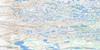
034C16 Riviere Itilliq Topo Map
To view this map, mouse over the map preview on the right.
You can also download this topo map for free:
034C16 Riviere Itilliq high-resolution topo map image.
Maps for the Riviere Itilliq topo map sheet 034C16 at 1:50,000 scale are also available in these versions:
Riviere Itilliq Surrounding Area Topo Maps
 |
 |
||
 |
 |
||
 |
 |
||
 |
 |
© Department of Natural Resources Canada. All rights reserved.
Riviere Itilliq Gazetteer
The following places can be found on topographic map sheet 034C16 Riviere Itilliq:
Riviere Itilliq Topo Map: Lakes
Lac KakiattualukRiviere Itilliq Topo Map: Mountains
Colline Patirtuup QarqaalungaRiviere Itilliq Topo Map: Rapids
Rapides KaakaachuwiyaanapanRiviere Itilliq Topo Map: Rivers
Rivière IsurtualukRivière Itilliq
Rivière Nastapoca
Rivière Nastapoka
Rivière Richard
Ruisseau Patirtuup Siqininganiittuq
Ruisseau Sanirqimatiapik
© Department of Natural Resources Canada. All rights reserved.
