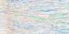
Belanger Island Topo Map Online
Download Free Topo Map Sheet 034C02 at 1:50,000 scale
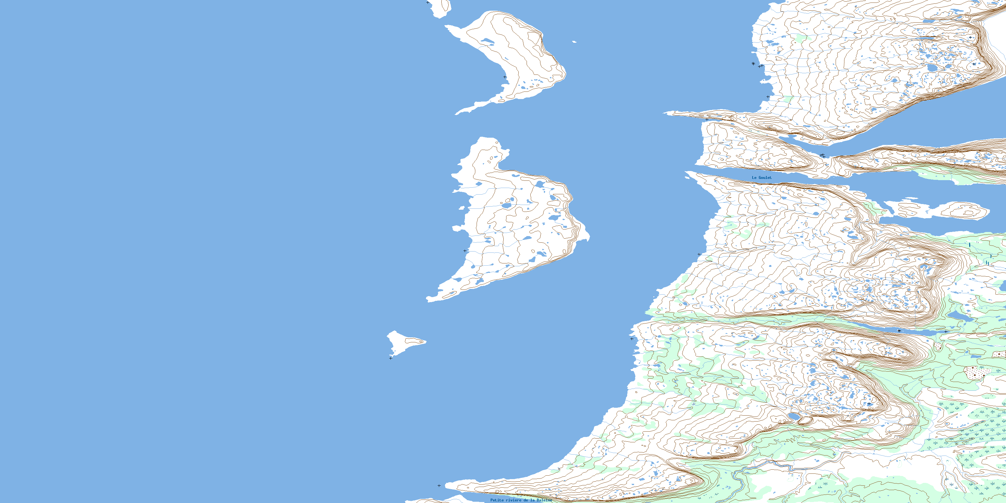
034C02 Belanger Island Topo Map
To view this map, mouse over the map preview on the right.
You can also download this topo map for free:
034C02 Belanger Island high-resolution topo map image.
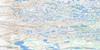
Maps for the Belanger Island topo map sheet 034C02 at 1:50,000 scale are also available in these versions:
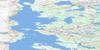
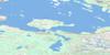
Belanger Island Surrounding Area Topo Maps
 |
 |
||
 |
 |
||
 |
 |
||
 |
 |
© Department of Natural Resources Canada. All rights reserved.
Belanger Island Gazetteer
The following places can be found on topographic map sheet 034C02 Belanger Island:
Belanger Island Topo Map: Bays
Baie AnurituuqBaie Sikutaaluk
Baie Sikutaapik
Hudson Bay
Belanger Island Topo Map: Beaches
Plage SiuraalukBelanger Island Topo Map: Capes
Pointe KuugaagguupPointe Pamiallualuk
Pointe Qilalugarsiuvik
Pointe Sikutaaluup Siukanga
Pointe Siuraaluk
Pointe Tikirassiaq
Pointe Tikiraujaq
Pointe Umiavinirtalik
Presqu'île Castle
Belanger Island Topo Map: Channels
Chenal Gulf HazardChenal Nastapoka
Le Goulet
Nastapoka Sound
Belanger Island Topo Map: Forests
Bois AgiaqBois Qijualuit
Belanger Island Topo Map: Islands
Bélanger IslandFlint Island
Îlot Tursujuup
Nastapoka Islands
Ross Island
Belanger Island Topo Map: Lakes
Lac Guillaume-DelisleLac Kuugaa'uup
Richmond Gulf
Belanger Island Topo Map: Mountains
Colline KatavviapikCollines Tursujuup Qarqaalungik
Dune Siuraaluk
Belanger Island Topo Map: Rivers
Little Whale RiverPetite rivière de la Baleine
Ruisseau Kanajulik
Ruisseau Kuugaa'uk
Ruisseau Sikutaaluup
Ruisseau Umiavinirtalik
Belanger Island Topo Map: Road features
Portage AachikaayusaakaasichBelanger Island Topo Map: Unincorporated areas
Jiaviniup NarsangaPunngavialuk
Punngaviapik
Qingaaluk
Ukkusikallak
Belanger Island Topo Map: Valleys
Vallée AnurituuqVallée Katajiapik
© Department of Natural Resources Canada. All rights reserved.
