Riviere Frichet Topo Map Online
Download Free Topo Map Sheet 035F13 at 1:50,000 scale
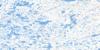
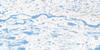
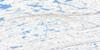
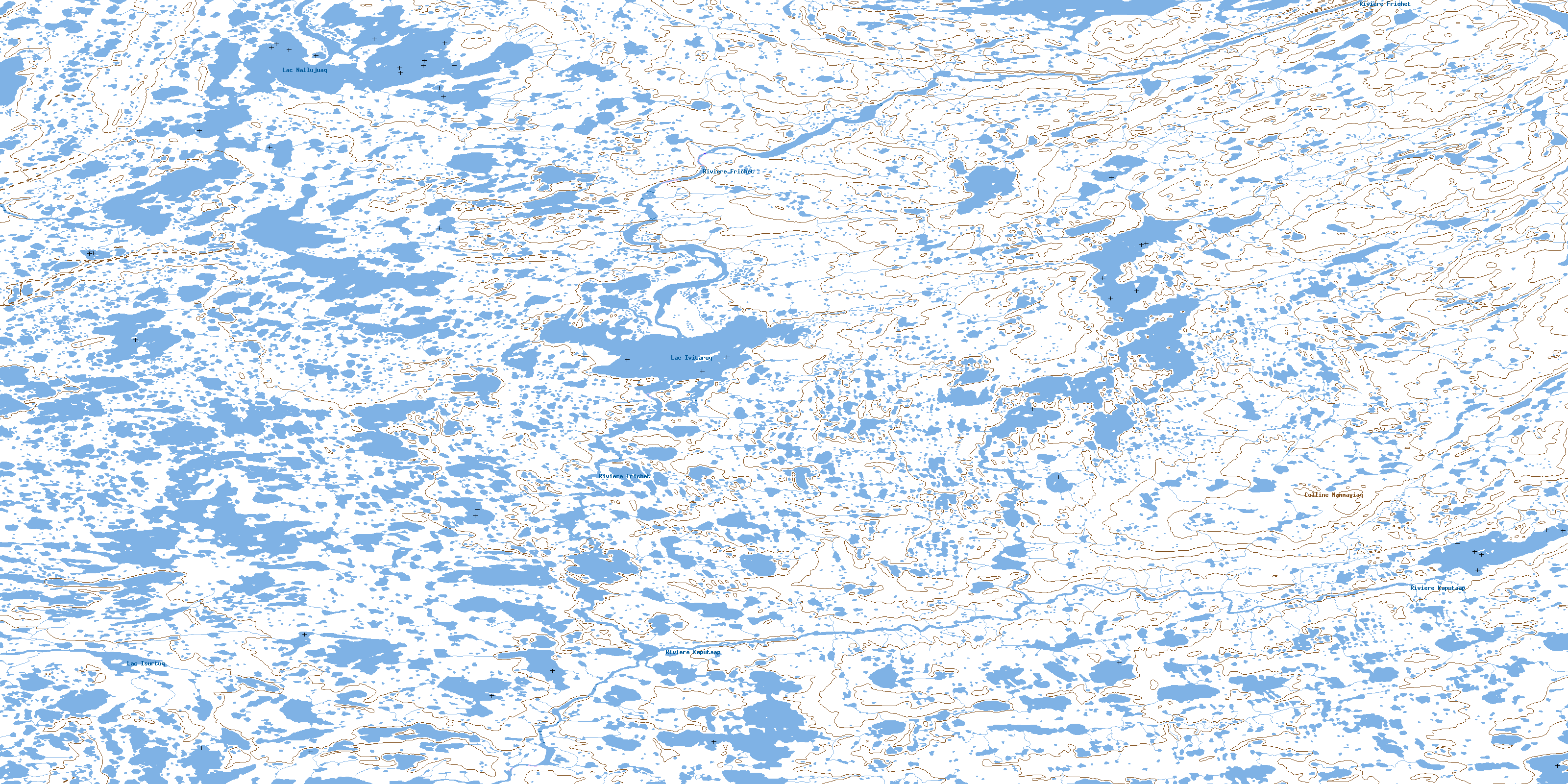
035F13 Riviere Frichet Topo Map
To view this map, mouse over the map preview on the right.
You can also download this topo map for free:
035F13 Riviere Frichet high-resolution topo map image.
Maps for the Riviere Frichet topo map sheet 035F13 at 1:50,000 scale are also available in these versions:
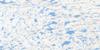
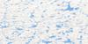
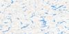
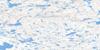
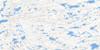
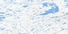
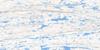
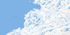
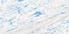
Riviere Frichet Surrounding Area Topo Maps
 |
 |
 |
 |
 |
 |
 |
 |
 |
 |
 |
 |
 |
 |
 |
 |
© Department of Natural Resources Canada. All rights reserved.
Riviere Frichet Gazetteer
The following places can be found on topographic map sheet 035F13 Riviere Frichet:
Riviere Frichet Topo Map: Miscellaneous campsites
Camp IqalunniaviapikCamp Iqalunniavik
Iqalunniaviapik
Iqalunniavik
Riviere Frichet Topo Map: Capes
Cap Nallujuap QarqangaRiviere Frichet Topo Map: Islands
Île IqalunniaviapikÎle Iqalunniavik
Riviere Frichet Topo Map: Lakes
Lac IsurtuqLac Ivitaaqqut
Lac Ivitaruq
Lac Kaputaaq
Lac Nallujuaq
Lac Nammagiap
Lac Qamaniq
Riviere Frichet Topo Map: Mountains
Colline NammagiaqColline Nammagiaq
Colline Nammagiaraaluk
Riviere Frichet Topo Map: Rivers
Ivitaaqqiap KuungaIvitaaqqut Kuunga
Ivitaarqiaq
Qamaniup Kuunga
Rivière Frichet
Rivière Isurtuup
Rivière Ivitaaqquit
Rivière Kaputaap
Rivière Kaputaaq
Rivière Nammagiap
Riviere Frichet Topo Map: Unincorporated areas
Sitiit AkianittuitSitiit Siqinirsiq
Sitiit Tarrasiq
© Department of Natural Resources Canada. All rights reserved.
035F Related Maps:
035F Kovik Bay035F01E Lac Juet
035F01W Lac Juet
035F02E Lac Vigneau
035F02W Lac Vigneau
035F03E Lac Carye
035F03W Lac Carye
035F04E Kettlestone Bay
035F04W Kettlestone Bay
035F05E Pointe Bernier
035F05W Pointe Bernier
035F06E Lac Lanyan
035F06W Lac Lanyan
035F07E Lac Begin
035F07W Lac Begin
035F08E Lac Hubert
035F08W Lac Hubert
035F09 Colline Talluq
035F10 Lac Bilson
035F11 Lac Atirtusiurvik
035F12 Kovik Bay
035F13 Riviere Frichet
035F14 Riviere Durouvray
035F15 Riviere Derville
035F16 Lac Amarurtuuq
