Britt Creek Topo Map Online
Download Free Topo Map Sheet 042K14 at 1:50,000 scale
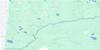
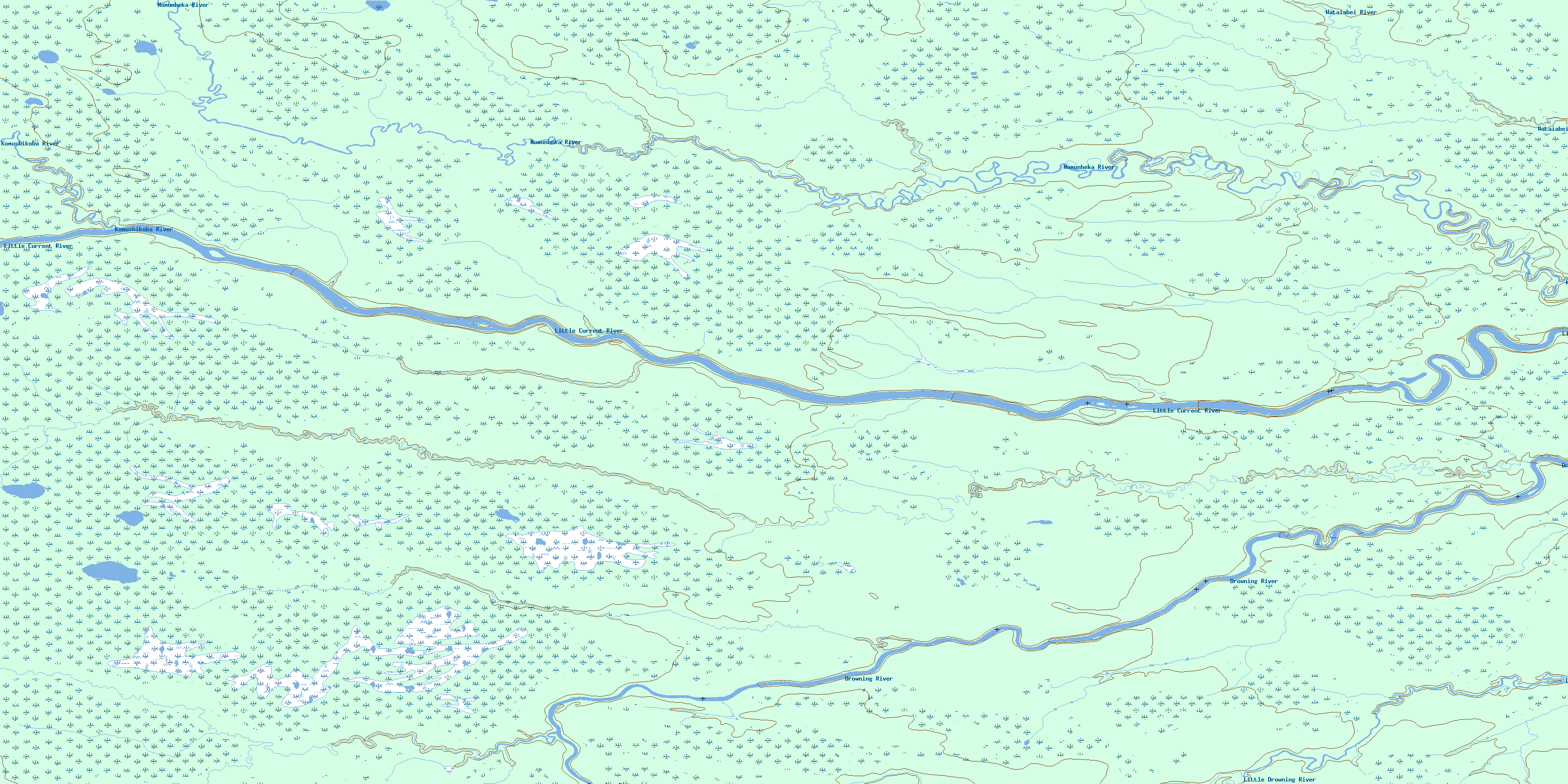
042K14 Britt Creek Topo Map
To view this map, mouse over the map preview on the right.
You can also download this topo map for free:
042K14 Britt Creek high-resolution topo map image.
Maps for the Britt Creek topo map sheet 042K14 at 1:50,000 scale are also available in these versions:
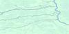
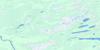
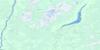
Britt Creek Surrounding Area Topo Maps
 |
 |
 |
 |
 |
 |
 |
 |
 |
 |
 |
 |
 |
 |
 |
 |
© Department of Natural Resources Canada. All rights reserved.
Britt Creek Gazetteer
The following places can be found on topographic map sheet 042K14 Britt Creek:
Britt Creek Topo Map: Conservation areas
Little Current River Provincial ParkBritt Creek Topo Map: Rivers
Britt CreekDrowning River
Komushikoba River
Little Current River
Little Drowning River
Nomunheka River
Wataiabei River
© Department of Natural Resources Canada. All rights reserved.
042K Related Maps:
042K Kenogami River042K01 Limestone Rapids
042K02 Feagan Lake
042K03 Pagwa River
042K04 Atikasibi River
042K05 Legarde River
042K06 Jog Lake
042K07 Little Ash River
042K08 Mammamattawa
042K09 Pitukupi Lake
042K10 Kingfisher River
042K11 Little Drowning Lake
042K12 Furry Lake
042K13 Barber Lake
042K14 Britt Creek
042K15 Little Drowning River
042K16 Wakashi River
