Cape Englefield Topo Map Online
Download Free Topo Map Sheet 047C15 at 1:50,000 scale
047C15 Cape Englefield Topo Map
To view this map, mouse over the map preview on the right.
You can also download this topo map for free:
047C15 Cape Englefield high-resolution topo map image.
Maps for the Cape Englefield topo map sheet 047C15 at 1:50,000 scale are also available in these versions:
Cape Englefield Surrounding Area Topo Maps
 |
 |
||
 |
 |
||
 |
 |
||
 |
 |
© Department of Natural Resources Canada. All rights reserved.
Cape Englefield Gazetteer
The following places can be found on topographic map sheet 047C15 Cape Englefield:
Cape Englefield Topo Map: Bays
Autridge BayDybbol Harbour
Encampment Bay
Gulf of Boothia
Cape Englefield Topo Map: Capes
Cape EnglefieldCape Hallowell
Cape Englefield Topo Map: Channels
Fury and Hecla StraitCape Englefield Topo Map: Islands
Alfred IslandMocklin Islands
Cape Englefield Topo Map: Rivers
Brevoort River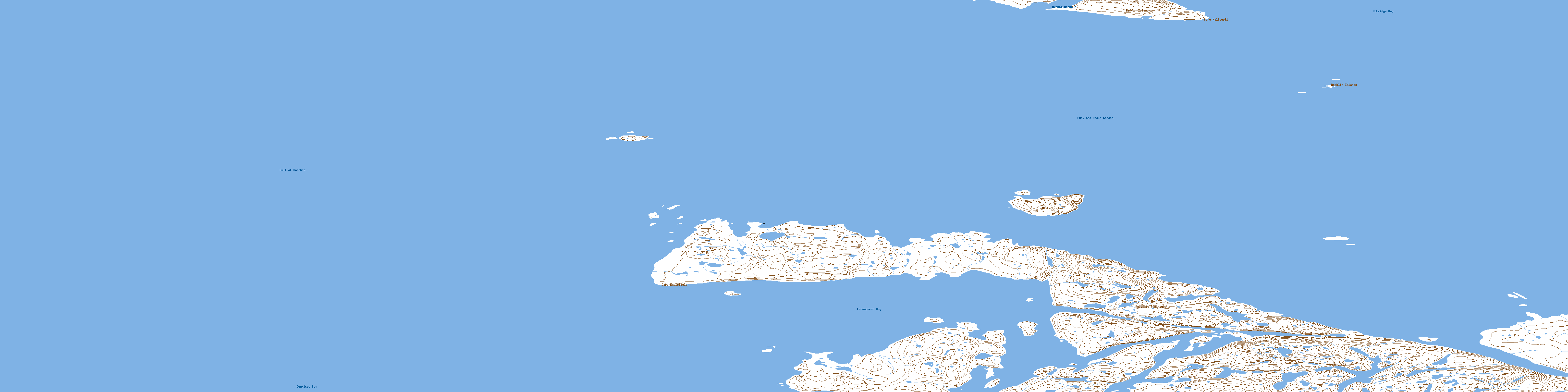
© Department of Natural Resources Canada. All rights reserved.
