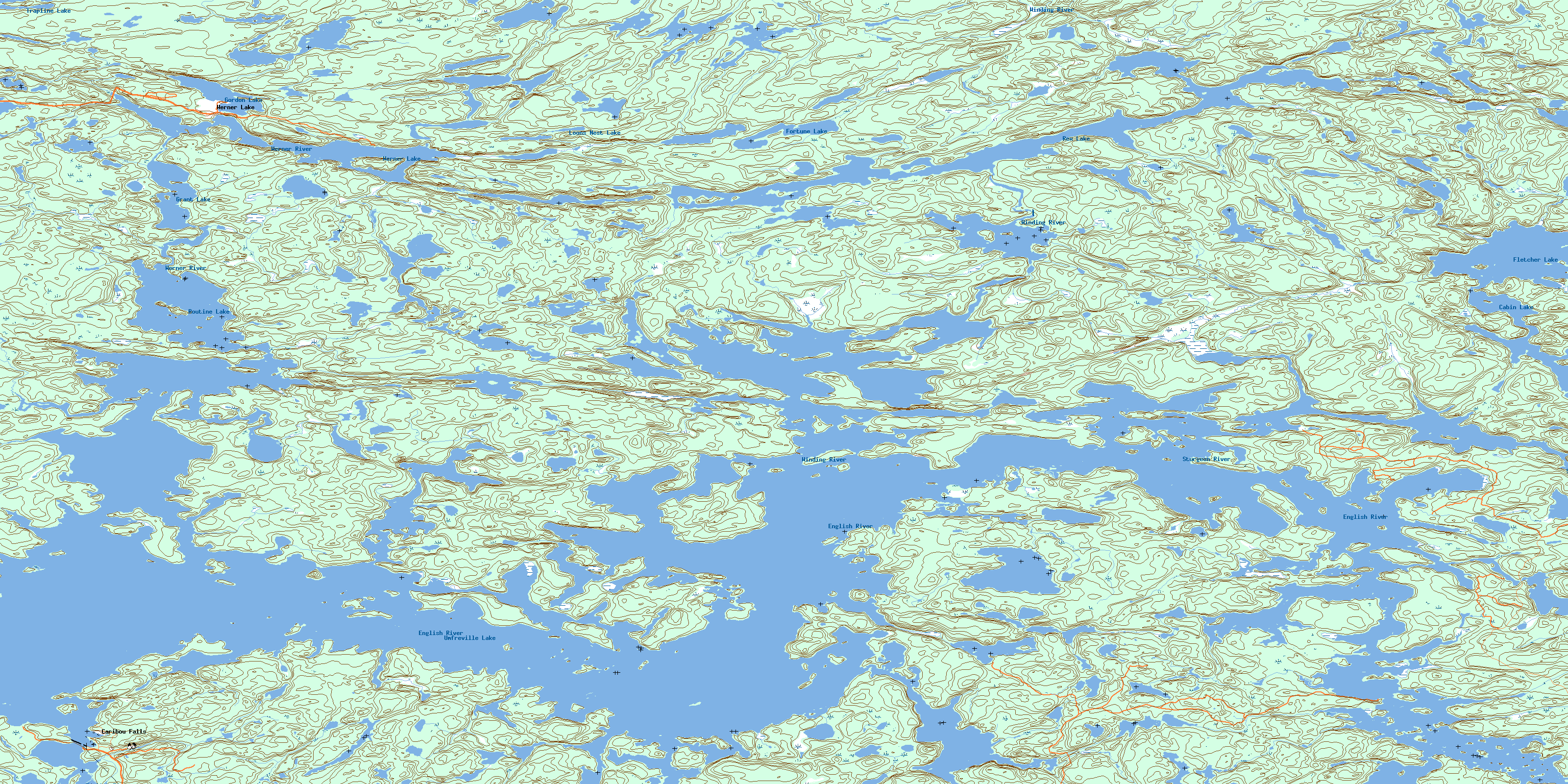
Umfreville Lake Topo Map Online
Download Free Topo Map Sheet 052L07 at 1:50,000 scale
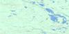
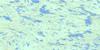
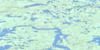
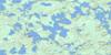
052L07 Umfreville Lake Topo Map
To view this map, mouse over the map preview on the right.
You can also download this topo map for free:
052L07 Umfreville Lake high-resolution topo map image.
Maps for the Umfreville Lake topo map sheet 052L07 at 1:50,000 scale are also available in these versions:
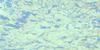
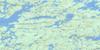
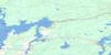
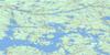
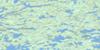
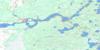
Umfreville Lake Surrounding Area Topo Maps
 |
 |
 |
 |
 |
 |
 |
 |
 |
 |
 |
 |
 |
 |
 |
 |
© Department of Natural Resources Canada. All rights reserved.
Umfreville Lake Gazetteer
The following places can be found on topographic map sheet 052L07 Umfreville Lake:
Umfreville Lake Topo Map: Falls
Caribou FallsDeer Falls
Lower Kettle Falls
Middle Kettle Falls
Upper Kettle Falls
Umfreville Lake Topo Map: Indian Reserves
One Man Lake 29One Man Lake Indian Reserve 29
Réserve indienne One Man Lake 29
Umfreville Lake Topo Map: Lakes
Almo LakeCabin Lake
Fletcher Lake
Fortune Lake
Gib Lake
Gone Lake
Gordon Lake
Grant Lake
Loons Nest Lake
Oneman Lake
Rex Lake
Routine Lake
Tourist Lake
Trapline Lake
Twelnor Lake
Umfreville Lake
Umfreville Lake
Werner Lake
Umfreville Lake Topo Map: Rivers
Cavalary CreekEnglish River
Sturgeon River
Werner River
Winding River
Umfreville Lake Topo Map: Unincorporated areas
Caribou FallsWerner Lake
© Department of Natural Resources Canada. All rights reserved.
052L Related Maps:
052L Pointe Du Bois052L01 Lount Lake
052L02 Whitedog Lake
052L03 Crowduck Lake
052L04 Pinawa
052L05 Pointe Du Bois
052L06 Ryerson Lake
052L07 Umfreville Lake
052L08 Lennan Lake
052L09 Sydney Lake
052L10 Dowswell Lake
052L11 Flintstone Lake
052L12 Maskwa Lake
052L13 Manigotagan Lake
052L14 Garner Lake
052L15 Rostoul Lake
052L16 Medicine Stone Lake
