Pinawa Topo Map Online
Download Free Topo Map Sheet 052L04 at 1:50,000 scale
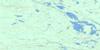
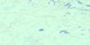
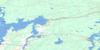
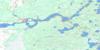
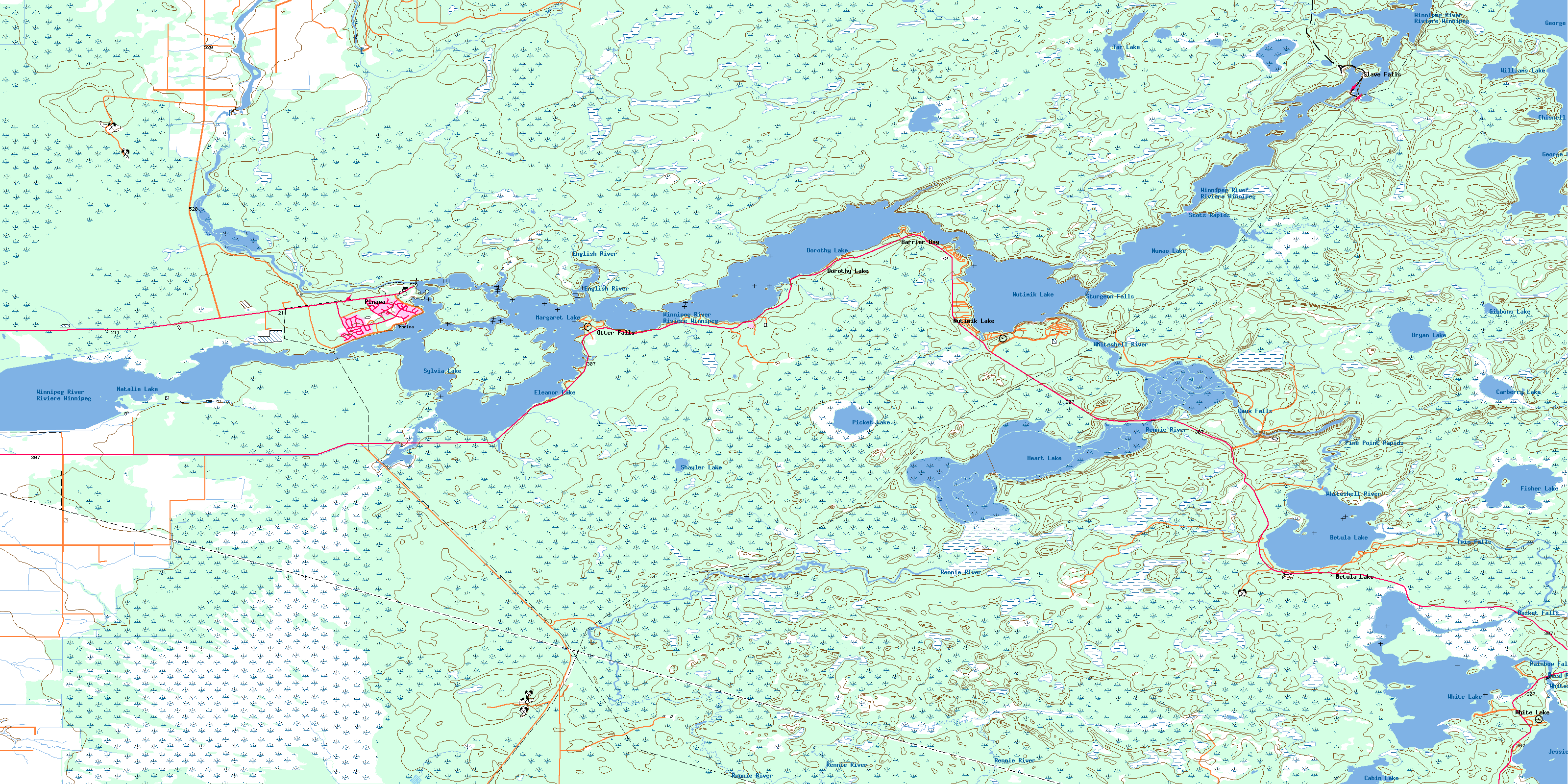
052L04 Pinawa Topo Map
To view this map, mouse over the map preview on the right.
You can also download this topo map for free:
052L04 Pinawa high-resolution topo map image.
Maps for the Pinawa topo map sheet 052L04 at 1:50,000 scale are also available in these versions:
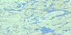
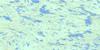
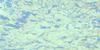
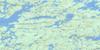
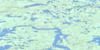
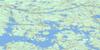
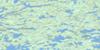
Pinawa Surrounding Area Topo Maps
 |
 |
 |
 |
 |
 |
 |
 |
 |
 |
 |
 |
 |
 |
 |
 |
© Department of Natural Resources Canada. All rights reserved.
Pinawa Gazetteer
The following places can be found on topographic map sheet 052L04 Pinawa:
Pinawa Topo Map: Bays
Barrier BayPinawa Topo Map: Capes
The BarrierPinawa Topo Map: Channels
Goldeneye PassPinawa Channel
Pinawa Topo Map: Falls
Basket FallsCaux Falls
Otter Falls
Rainbow Falls
Reed Falls
Reid Falls
Sturgeon Falls
Twin Falls
Twin Falls
Pinawa Topo Map: Hydraulic construction
Basket Falls DamBetula Lake Dam
Jessica Lake Dam
Slave Falls Generating Station
Pinawa Topo Map: Islands
Carter IslandFrench Island
Furey Island
Hind Island
Porcupine Island
Woodward Island
Pinawa Topo Map: Lakes
Betula LakeBryan Lake
Cabin Lake
Carberry Lake
Chisnell Lake
Dorothy Lake
Dorothy Pond
Eleanor Lake
Fisher Lake
George Lake
Gibbons Lake
Heart Lake
Jessica Lake
Lake Eleanor
Lake Margaret
Lake Natalie
Lake Sylvia
Margaret Lake
Natalie Lake
Natalie Pond
Numao Lake
Nutimik Lake
Picket Lake
Shayler Lake
Sylvia Lake
Tar Lake
White Lake
Williams Lake
Pinawa Topo Map: Other municipal/district area - miscellaneous
AlexanderPinawa
Whitemouth
Pinawa Topo Map: Conservation areas
Pinawa Dam Provincial Heritage ParkPinawa Dam Provincial Park
Whiteshell Provincial Forest
Whiteshell Provincial Park
Pinawa Topo Map: Rapids
Pine Point RapidsScots Rapids
Strassels Rapids
Pinawa Topo Map: Rivers
Big CreekBog River
Boggy Creek
Caribou Creek
English River
Fisher Creek
Oldenberg Creek
Picket Creek
Rennie River
Rivière Winnipeg
Sharkeys Channel
Smith Creek
Tie Creek
Upper Pinawa Channel
Whiteshell River
Winnipeg River
Pinawa Topo Map: Road features
La Vérendrye TrailPinawa Topo Map: Unincorporated areas
Barrier BayBetula Lake
Dorothy Lake
Nutimik Lake
Otter Falls
Pinawa
Slave Falls
White Lake
Pinawa Topo Map: Low vegetation
Heart Lake BogWhitemouth Bog
Whitemouth Bog
© Department of Natural Resources Canada. All rights reserved.
052L Related Maps:
052L Pointe Du Bois052L01 Lount Lake
052L02 Whitedog Lake
052L03 Crowduck Lake
052L04 Pinawa
052L05 Pointe Du Bois
052L06 Ryerson Lake
052L07 Umfreville Lake
052L08 Lennan Lake
052L09 Sydney Lake
052L10 Dowswell Lake
052L11 Flintstone Lake
052L12 Maskwa Lake
052L13 Manigotagan Lake
052L14 Garner Lake
052L15 Rostoul Lake
052L16 Medicine Stone Lake
