Mcewen Lake Topo Map Online
Download Free Topo Map Sheet 054M12 at 1:50,000 scale
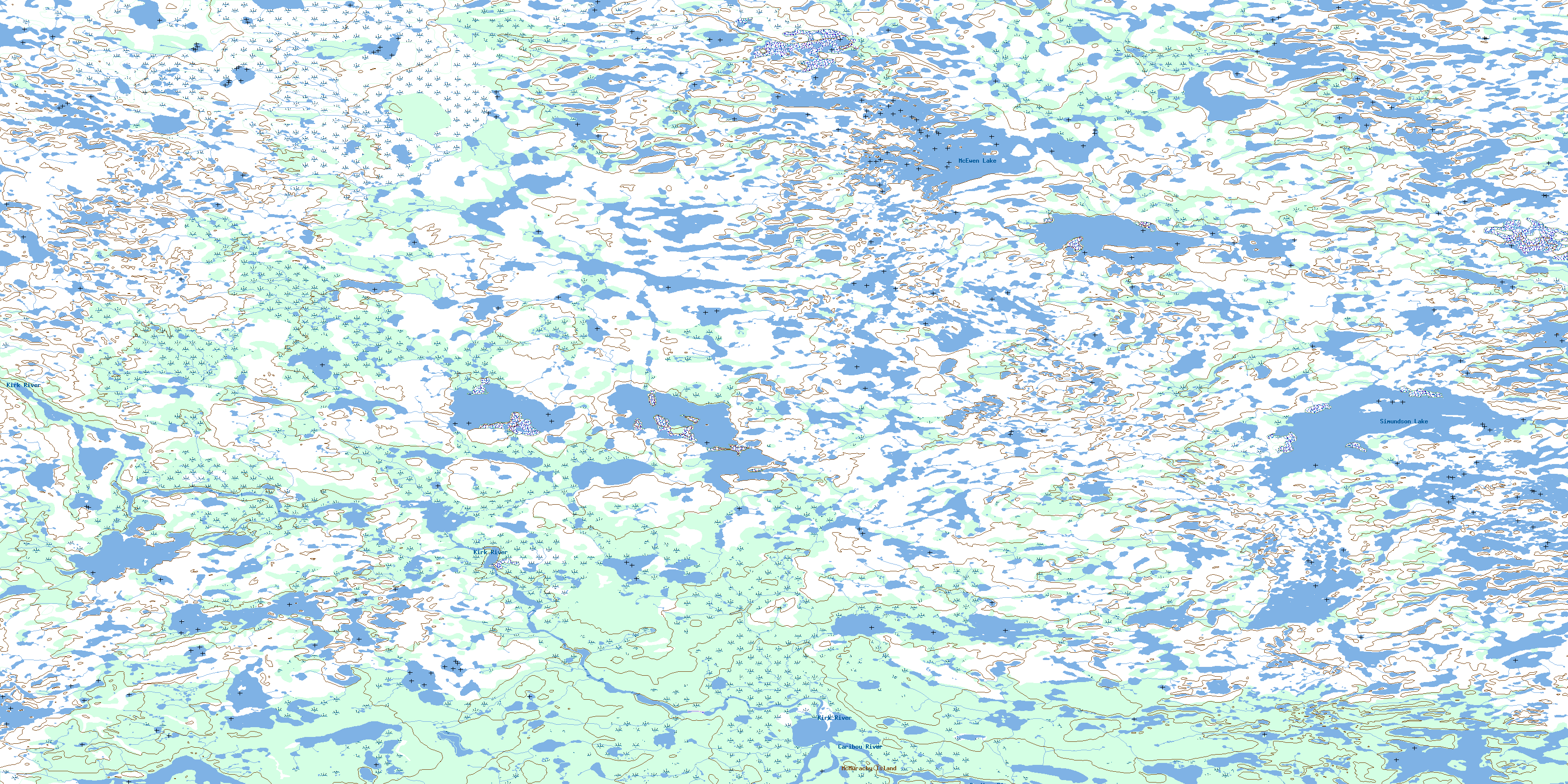
054M12 Mcewen Lake Topo Map
To view this map, mouse over the map preview on the right.
You can also download this topo map for free:
054M12 Mcewen Lake high-resolution topo map image.
Maps for the Mcewen Lake topo map sheet 054M12 at 1:50,000 scale are also available in these versions:
Mcewen Lake Surrounding Area Topo Maps
 |
 |
 |
|
 |
 |
 |
|
 |
 |
 |
|
 |
 |
 |
© Department of Natural Resources Canada. All rights reserved.
Mcewen Lake Gazetteer
The following places can be found on topographic map sheet 054M12 Mcewen Lake:
Mcewen Lake Topo Map: Islands
McMurachy IslandMcewen Lake Topo Map: Lakes
McEwen LakeSimundson Lake
Mcewen Lake Topo Map: Conservation areas
Caribou River Park ReserveMcewen Lake Topo Map: Rivers
Caribou RiverKirk River
© Department of Natural Resources Canada. All rights reserved.
