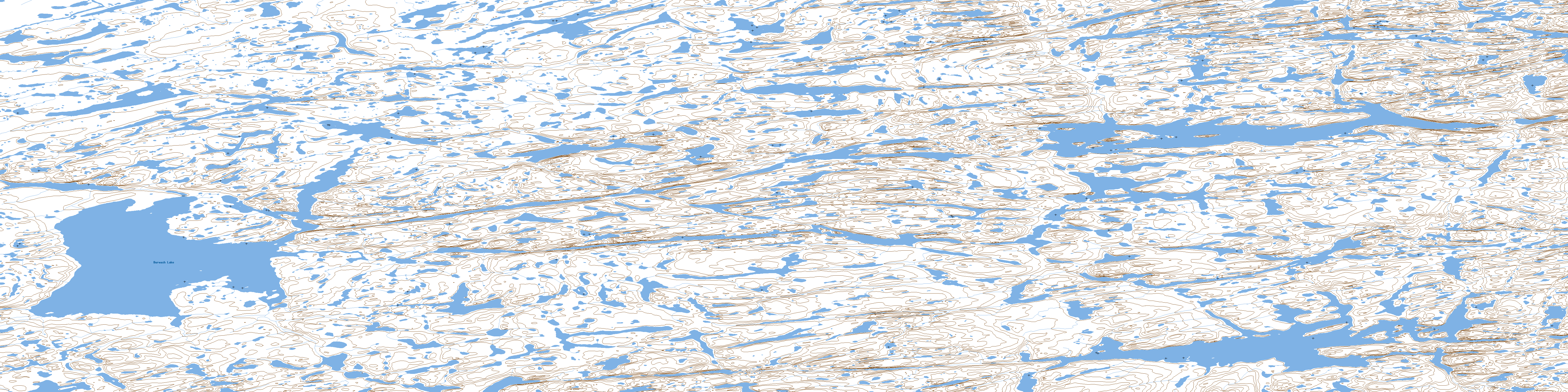
Burwash Lake Topo Map Online
Download Free Topo Map Sheet 057A13 at 1:50,000 scale
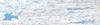
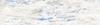
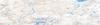
057A13 Burwash Lake Topo Map
To view this map, mouse over the map preview on the right.
You can also download this topo map for free:
057A13 Burwash Lake high-resolution topo map image.
Maps for the Burwash Lake topo map sheet 057A13 at 1:50,000 scale are also available in these versions:
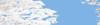
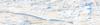
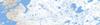
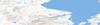
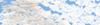
Burwash Lake Surrounding Area Topo Maps
 |
 |
 |
 |
 |
 |
 |
 |
 |
 |
 |
 |
 |
 |
 |
 |
© Department of Natural Resources Canada. All rights reserved.
Burwash Lake Gazetteer
The following places can be found on topographic map sheet 057A13 Burwash Lake:
Burwash Lake Topo Map: Lakes
Burwash LakeQatgirjuaq Lake
Tahirjuaq Lake
Burwash Lake Topo Map: Rivers
Inglis RiverKuugarjuaraarjuk River
Tinippajuk River
© Department of Natural Resources Canada. All rights reserved.
057A Related Maps:
057A Pelly Bay057A01 Mount Mactavish
057A02 Cameron Lake
057A03 No Title
057A04 No Title
057A05 No Title
057A06 De Stael Point
057A07 Barrow Lake
057A08 Keith Bay
057A09 No Title
057A10 Login Bay
057A11 Becher River
057A12 Euphemia Hill
057A13 Burwash Lake
057A14 No Title
057A15 No Title
057A16 No Title
