Login Bay Topo Map Online
Download Free Topo Map Sheet 057A10 at 1:50,000 scale
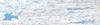
057A10 Login Bay Topo Map
To view this map, mouse over the map preview on the right.
You can also download this topo map for free:
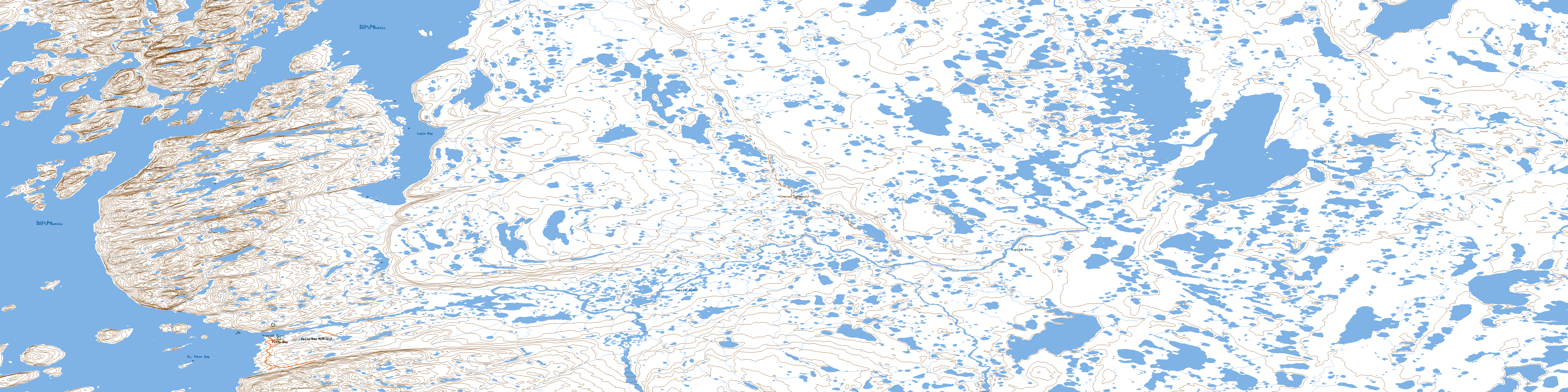
057A10 Login Bay high-resolution topo map image.
Maps for the Login Bay topo map sheet 057A10 at 1:50,000 scale are also available in these versions:
Login Bay Surrounding Area Topo Maps
 |
 |
 |
 |
 |
 |
 |
 |
 |
 |
 |
 |
 |
 |
 |
 |
© Department of Natural Resources Canada. All rights reserved.
Login Bay Gazetteer
The following places can be found on topographic map sheet 057A10 Login Bay:
Login Bay Topo Map: Bays
Gulf of BoothiaLogin Bay
Pelly Bay
Qamanaarjuk Bay
St. Peter Bay
Login Bay Topo Map: Capes
Aivru Itiblia IsthmusSimpson Peninsula
Login Bay Topo Map: Channels
Hutluarnirjuaq ChannelLogin Bay Topo Map: Cliffs
Qutairrurjuaq CliffLogin Bay Topo Map: Hamlets
KugaarukPelly Bay
Login Bay Topo Map: Islands
Akuliarut IslandAvataqpivik Island
Helen Island
Igluligaarjuk Island
Iglulik Island
Kiktuqsalik Island
Paulangiut Island
Pullagaarjuk Island
Qimivvik Island
Qinnguuq Naujaa Island
Simik Island
Tallinnguvik Island
Ulituqisalik Island
Uuqmatnaq Island
Login Bay Topo Map: Lakes
Alliarusia LakeIqalulik Lake
Isluuraarjuittuq Lake
Nalluarjuk Lake
Qamannak Lake
Qatsiktuk Lakes
Tuungalik Lake
Login Bay Topo Map: Mountains
Kiniktuq HillLogin Bay Topo Map: Rivers
Alliarusiq RiverKugajuk River
© Department of Natural Resources Canada. All rights reserved.
057A Related Maps:
057A Pelly Bay057A01 Mount Mactavish
057A02 Cameron Lake
057A03 No Title
057A04 No Title
057A05 No Title
057A06 De Stael Point
057A07 Barrow Lake
057A08 Keith Bay
057A09 No Title
057A10 Login Bay
057A11 Becher River
057A12 Euphemia Hill
057A13 Burwash Lake
057A14 No Title
057A15 No Title
057A16 No Title
