Beach Lake Topo Map Online
Download Free Topo Map Sheet 063H16 at 1:50,000 scale
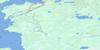
063H16 Beach Lake Topo Map
To view this map, mouse over the map preview on the right.
You can also download this topo map for free:
063H16 Beach Lake high-resolution topo map image.
Maps for the Beach Lake topo map sheet 063H16 at 1:50,000 scale are also available in these versions:
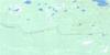
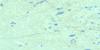
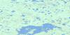
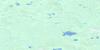
Beach Lake Surrounding Area Topo Maps
 |
 |
 |
 |
 |
 |
 |
 |
 |
 |
 |
 |
 |
 |
 |
 |
© Department of Natural Resources Canada. All rights reserved.
Beach Lake Gazetteer
The following places can be found on topographic map sheet 063H16 Beach Lake:
Beach Lake Topo Map: Bays
Asoheesipaywinink BayChapman Bay
Beach Lake Topo Map: Indian Reserves
Feather RapidsNorway House 17D-4
Ponask Lake
Beach Lake Topo Map: Islands
Wagner IslandBeach Lake Topo Map: Lakes
Beach LakeLone Nest Lake
Pelican Lake
Ponask Lake
Stevenson Lake
Beach Lake Topo Map: Rapids
Pelican RapidsBeach Lake Topo Map: Rivers
Molson RiverBeach Lake Topo Map: Road features
Ponask Portage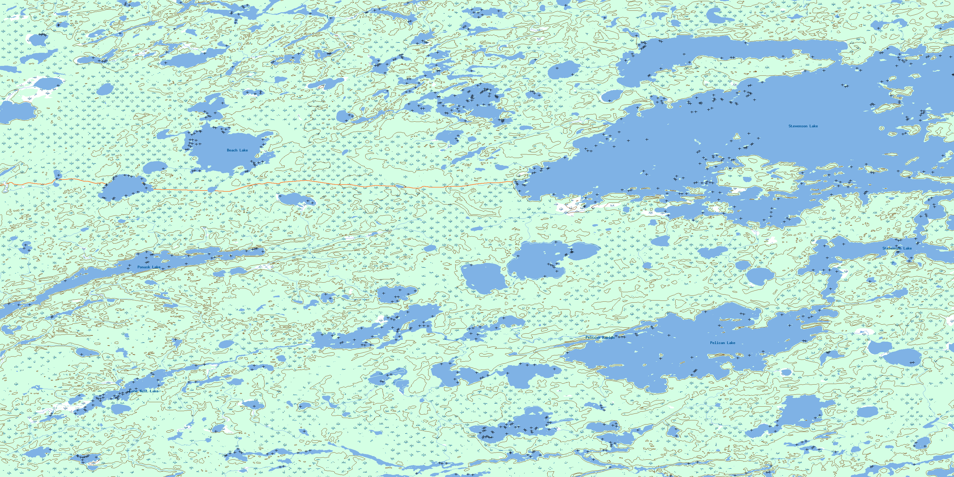
© Department of Natural Resources Canada. All rights reserved.
063H Related Maps:
063H Norway House063H01 Makatesibi Lake
063H02 Zayets Creek
063H03 Mukutawa River
063H04 Birdnest Point
063H05 Belanger Point
063H06 Anderson Falls
063H07 Okeskimunisew Lake
063H08 Bennett Lake
063H09 Gunisao Lake
063H10 Wechaki Lake
063H11 Ininiwekun Rapids
063H12 Warren Landing
063H13 Norway House
063H14 Costes Lake
063H15 Washahigan Lake
063H16 Beach Lake
