Sandy Narrows Topo Map Online
Download Free Topo Map Sheet 063M03 at 1:50,000 scale
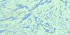
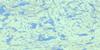
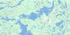
063M03 Sandy Narrows Topo Map
To view this map, mouse over the map preview on the right.
You can also download this topo map for free:
063M03 Sandy Narrows high-resolution topo map image.
Maps for the Sandy Narrows topo map sheet 063M03 at 1:50,000 scale are also available in these versions:
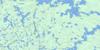
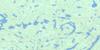
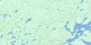
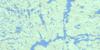
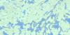
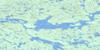
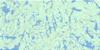
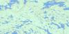
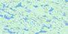
Sandy Narrows Surrounding Area Topo Maps
 |
 |
 |
 |
 |
 |
 |
 |
 |
 |
 |
 |
 |
 |
 |
 |
© Department of Natural Resources Canada. All rights reserved.
Sandy Narrows Gazetteer
The following places can be found on topographic map sheet 063M03 Sandy Narrows:
Sandy Narrows Topo Map: Bays
Northeast ArmNorthwest Arm
Shaw Bay
Sandy Narrows Topo Map: Channels
Grassy NarrowsSandy Narrows Topo Map: Indian Reserves
Maskikopawiscikosik 229Sandy Narrows 184C
Woody Lake 184D
Sandy Narrows Topo Map: Islands
Richardson IslandSandy Narrows Topo Map: Lakes
Arn LakeChachukew Lake
Deschambault Lake
Desjardins Lake
Gee Lake
Hepp Lake
Lariviere Lake
Lloyd Lake
Lovell Lake
Lueder Lake
Mulligan Lake
Muskike Lake
Nielsen Lake
Palf Lake
Pelican Lake
Piney Lake
Prongua Lake
St. John Lake
Vincent Lake
Wood Lake
Sandy Narrows Topo Map: Rapids
Medicine RapidsSandy Narrows Topo Map: Rivers
Palf CreekSandy Narrows Topo Map: Unincorporated areas
Sandy Narrows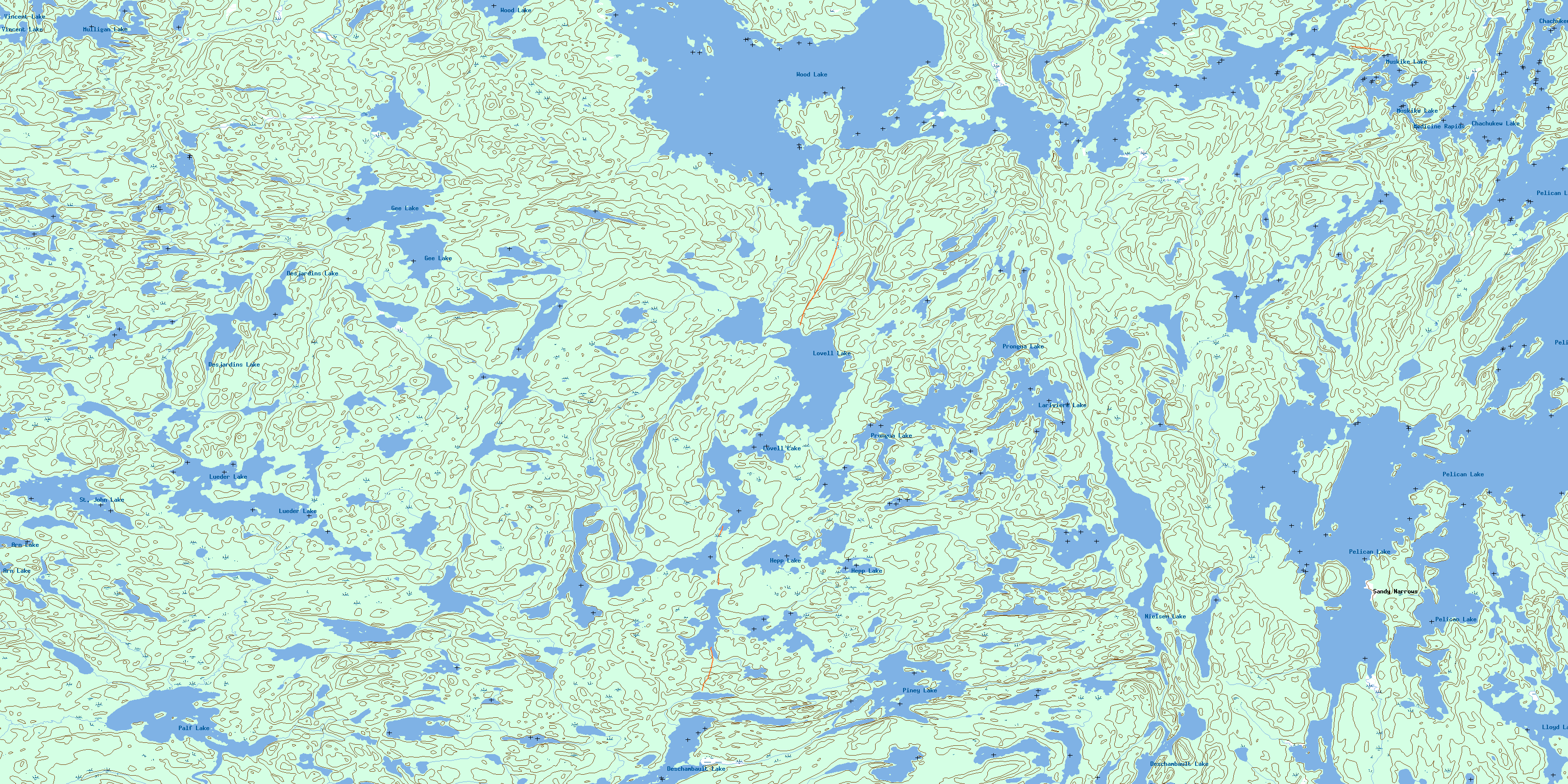
© Department of Natural Resources Canada. All rights reserved.
063M Related Maps:
063M Pelican Narrows063M01 Attitti Lake
063M02 Pelican Narrows
063M03 Sandy Narrows
063M04 Maynard Lake
063M05 Trade Lake
063M06 Manawan Lake
063M07 Marchel Lake
063M08 Nemei Lake
063M09 Sandy Bay
063M10 Wintego Lake
063M11 Iskwatam Lake
063M12 Glennie Lake
063M13 Rothnie Lake
063M14 Laird Lake
063M15 Gilbert Lake
063M16 Pagato River
