Madsen Bay Topo Map Online
Download Free Topo Map Sheet 063N15 at 1:50,000 scale
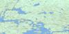
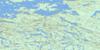
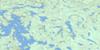
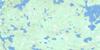
063N15 Madsen Bay Topo Map
To view this map, mouse over the map preview on the right.
You can also download this topo map for free:
063N15 Madsen Bay high-resolution topo map image.
Maps for the Madsen Bay topo map sheet 063N15 at 1:50,000 scale are also available in these versions:
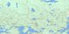
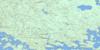
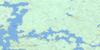
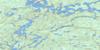
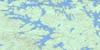
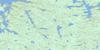
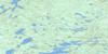
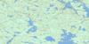
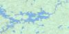
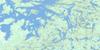
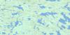
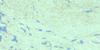
Madsen Bay Surrounding Area Topo Maps
 |
 |
 |
 |
 |
 |
 |
 |
 |
 |
 |
 |
 |
 |
 |
 |
© Department of Natural Resources Canada. All rights reserved.
Madsen Bay Gazetteer
The following places can be found on topographic map sheet 063N15 Madsen Bay:
Madsen Bay Topo Map: Bays
Apisicheemoosus BayCardonby Bay
Garden Bay
Kisayinew Bay
Madsen Bay
Perch Bay
West Kisayinew Bay
West Perch Bay
Madsen Bay Topo Map: Capes
Clarence PointOkunowaiskotayo Point
Opimoachape Point
Madsen Bay Topo Map: Channels
Oskoyuk NarrowsMadsen Bay Topo Map: Falls
Twin FallsMadsen Bay Topo Map: Indian Reserves
Highrock 199Madsen Bay Topo Map: Islands
Apeetow IslandAtim Island
Chepi Island
Dumas Island
Hicks Island
Osawastim Island
Porteous Island
Rogers Island
Utimayo Islands
Madsen Bay Topo Map: Lakes
Allen LakeApisicheemoosus Lake
Highrock Lake
John Bell Lake
Kaministikowasik Lake
Madsen Bay Topo Map: Rivers
Apisicheemoosus RiverChurchill River
Evans Creek
Muskwu River
North Channel
Onion River
Osawapiskus Creek
Prière Creek
Rivière Churchill
Madsen Bay Topo Map: Road features
Kapuskaywak Portage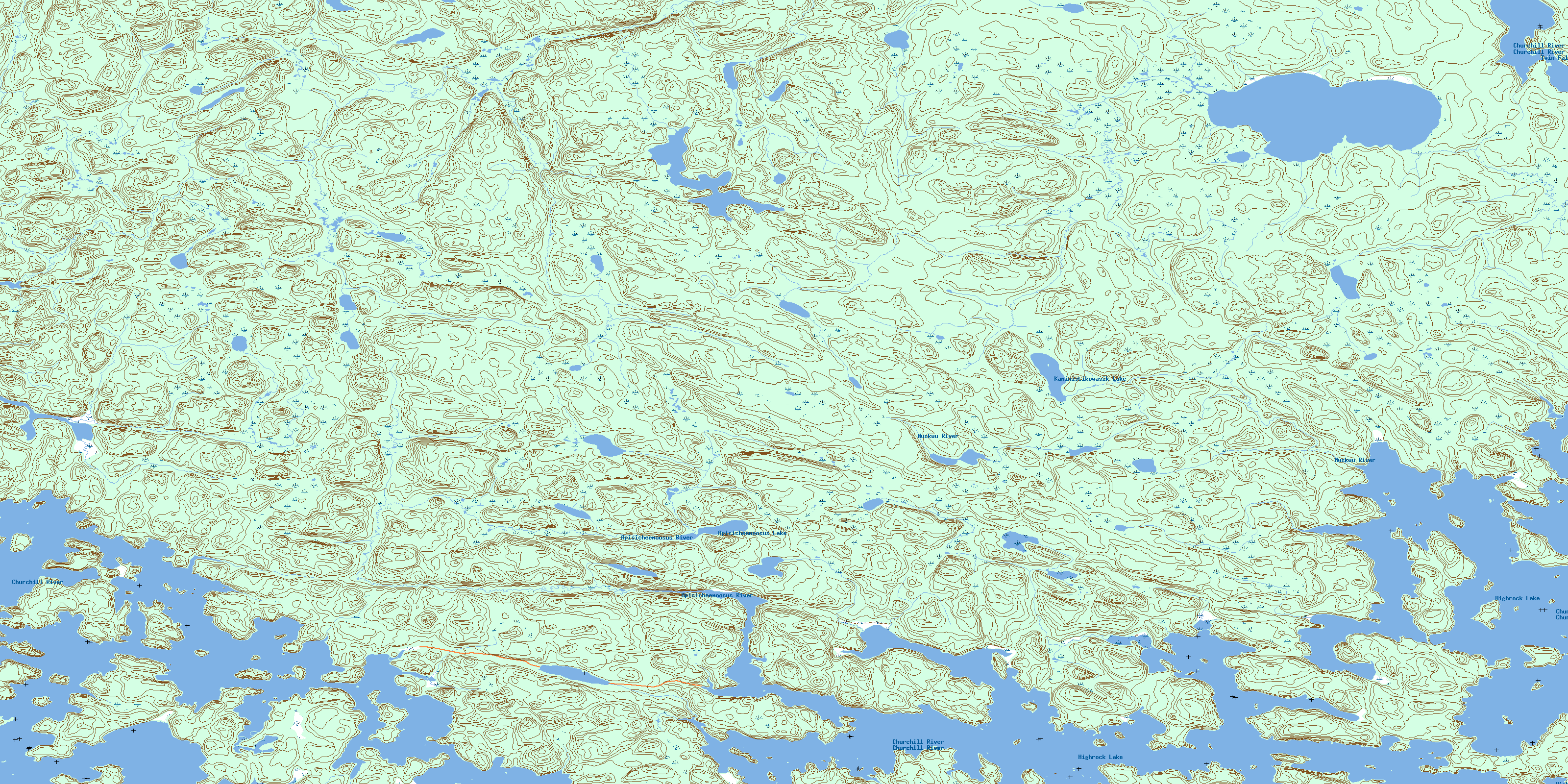
© Department of Natural Resources Canada. All rights reserved.
063N Related Maps:
063N Kississing Lake063N01 Nightingale Lake
063N02 Batty Lake
063N03 Sherridon
063N04 Duval Lake
063N05 Kipahigan Lake
063N06 Lamont Lake
063N07 Takipy Lake
063N08 Burntwood Lake
063N09 Pahayo Lake
063N10 Flatrock Lake
063N11 Pukatawagan
063N12 Sisipuk Lake
063N13 Britton Lake
063N14 Llama Lake
063N15 Madsen Bay
063N16 Highrock Lake
