Batty Lake Topo Map Online
Download Free Topo Map Sheet 063N02 at 1:50,000 scale
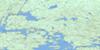
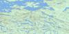
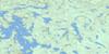
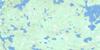
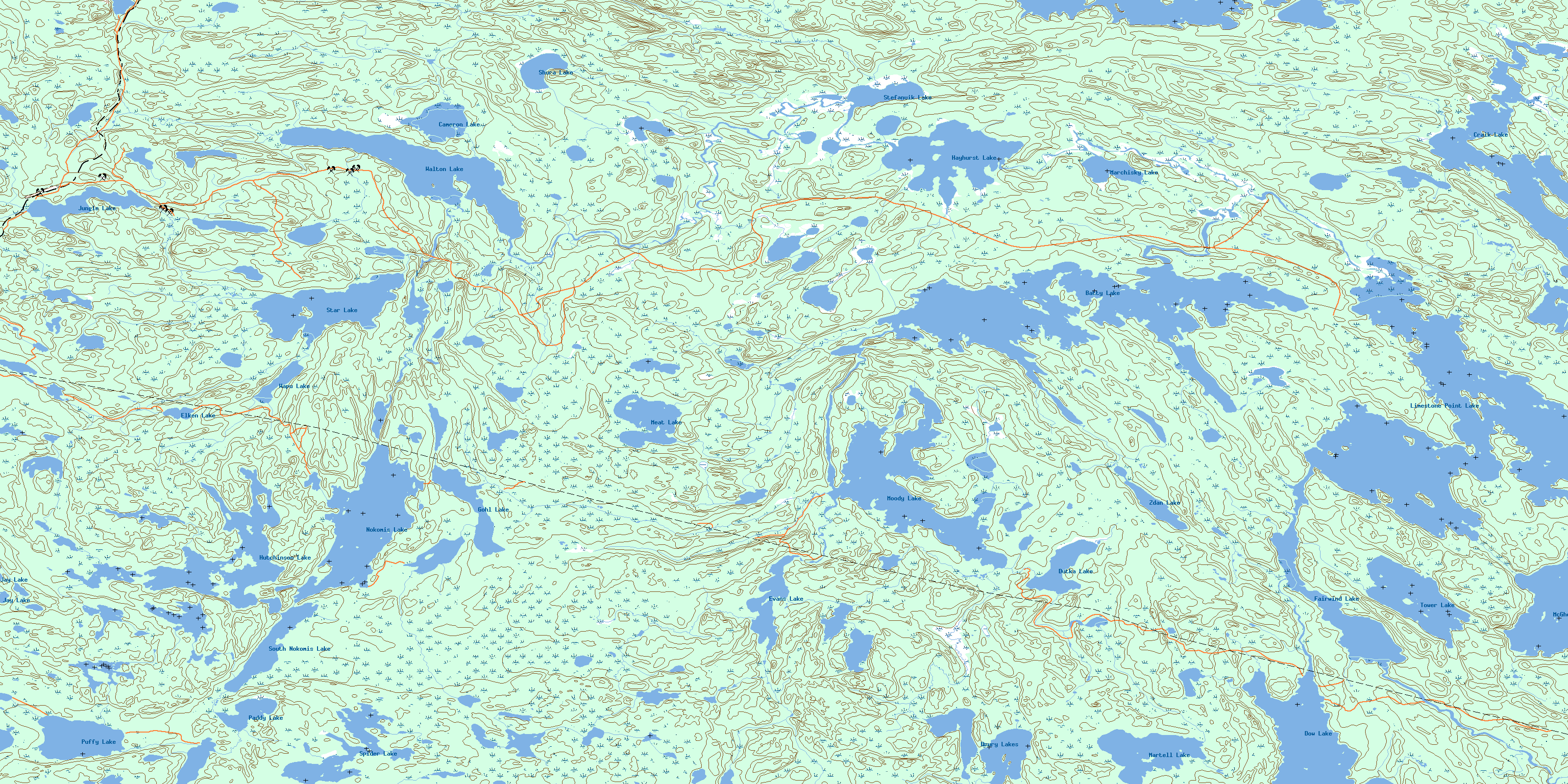
063N02 Batty Lake Topo Map
To view this map, mouse over the map preview on the right.
You can also download this topo map for free:
063N02 Batty Lake high-resolution topo map image.
Maps for the Batty Lake topo map sheet 063N02 at 1:50,000 scale are also available in these versions:
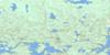
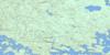
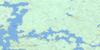
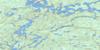
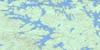
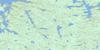
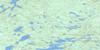
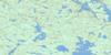
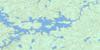
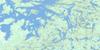
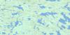
Batty Lake Surrounding Area Topo Maps
 |
 |
 |
 |
 |
 |
 |
 |
 |
 |
 |
 |
 |
 |
 |
 |
© Department of Natural Resources Canada. All rights reserved.
Batty Lake Gazetteer
The following places can be found on topographic map sheet 063N02 Batty Lake:
Batty Lake Topo Map: Bays
Boyd BayRichard Bay
Batty Lake Topo Map: Capes
Lowe PointPhillips Peninsula
Stewart Peninsula
Batty Lake Topo Map: Islands
Burr IslandDunn Island
Batty Lake Topo Map: Lakes
Batty LakeCameron Lake
Craik Lake
Derby Lake
Dow Lake
Drury Lakes
Dutka Lake
Elken Lake
Evans Lake
Fairwind Lake
Gohl Lake
Guthrie Lake
Hayhurst Lake
Hutchinson Lake
James Clarke Lake
Jay Lake
Jungle Lake
Limestone Point Lake
Marchisky Lake
Martell Lake
McGhee Lake
Meat Lake
Moody Lake
Nokomis Lake
Paddy Lake
Puffy Lake
Shura Lake
South Nokomis Lake
Spider Lake
Star Lake
Stefanuik Lake
Three Finger Lake
Tower Lake
Walton Lake
Wapu Lake
Wood Lake
Zdan Lake
Batty Lake Topo Map: Mountains
Scott HillBatty Lake Topo Map: Rivers
File RiverKeown Creek
Limestone Creek
Shineton Creek
© Department of Natural Resources Canada. All rights reserved.
063N Related Maps:
063N Kississing Lake063N01 Nightingale Lake
063N02 Batty Lake
063N03 Sherridon
063N04 Duval Lake
063N05 Kipahigan Lake
063N06 Lamont Lake
063N07 Takipy Lake
063N08 Burntwood Lake
063N09 Pahayo Lake
063N10 Flatrock Lake
063N11 Pukatawagan
063N12 Sisipuk Lake
063N13 Britton Lake
063N14 Llama Lake
063N15 Madsen Bay
063N16 Highrock Lake
