Sherridon Topo Map Online
Download Free Topo Map Sheet 063N03 at 1:50,000 scale
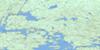
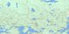
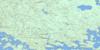
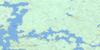
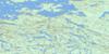
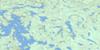
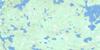
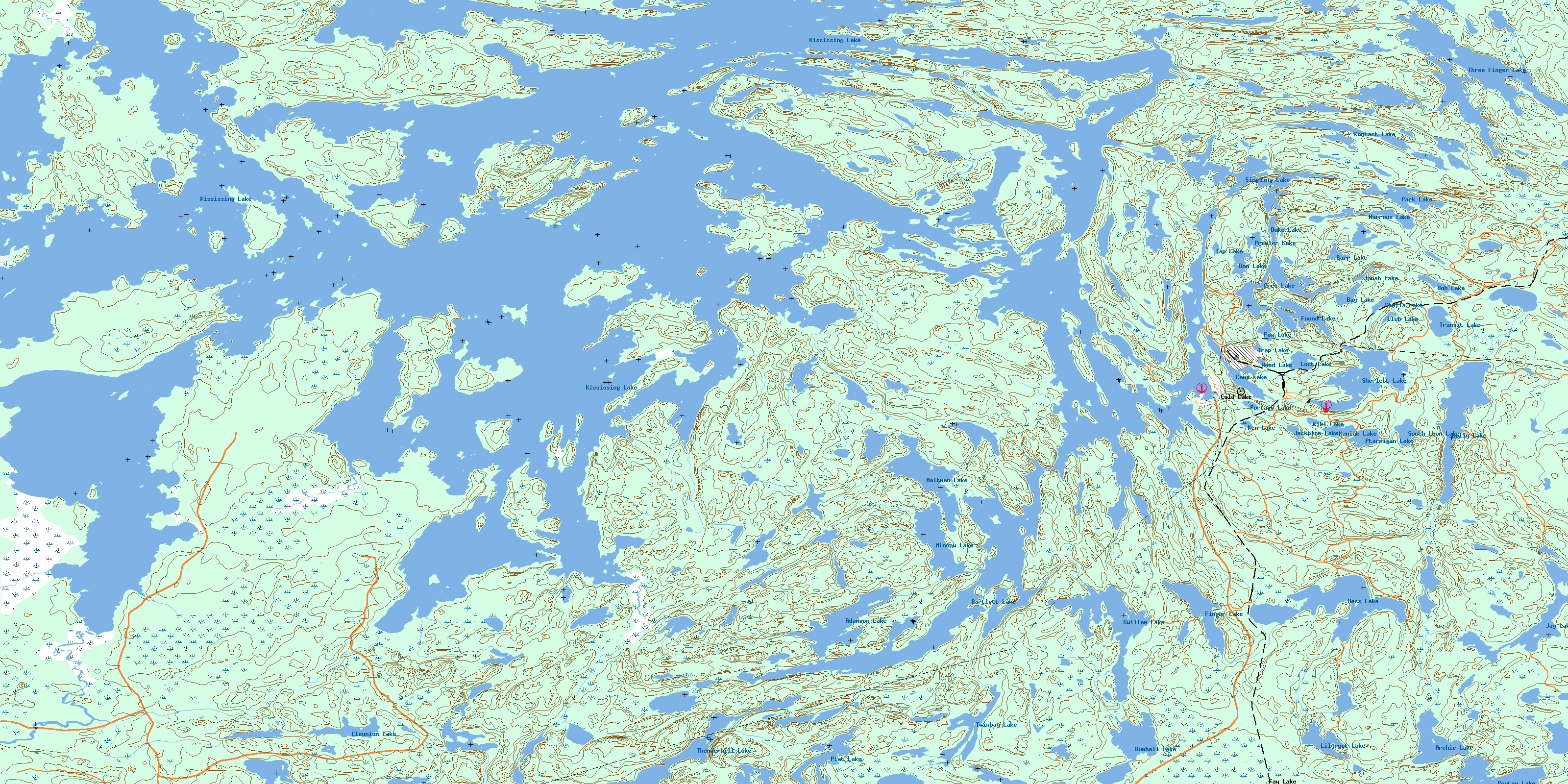
063N03 Sherridon Topo Map
To view this map, mouse over the map preview on the right.
You can also download this topo map for free:
063N03 Sherridon high-resolution topo map image.
Maps for the Sherridon topo map sheet 063N03 at 1:50,000 scale are also available in these versions:
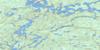
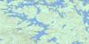
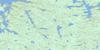
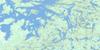
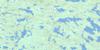
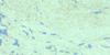
Sherridon Surrounding Area Topo Maps
 |
 |
 |
 |
 |
 |
 |
 |
 |
 |
 |
 |
 |
 |
 |
 |
© Department of Natural Resources Canada. All rights reserved.
Sherridon Gazetteer
The following places can be found on topographic map sheet 063N03 Sherridon:
Sherridon Topo Map: Bays
Aikenhead BayAikenhead Bay
Barrett Bay
Burkes Bay
Deep South Bay
Home Bay
McCurlys Bay
McKenzie Bay
Moose Mouth Bay
Nestors Bay
Park Bay
Reds Bay
Snow Bay
South Bay
Teasdale Bay
Tukikumewseepi Bay
Wilsie Bay
Sherridon Topo Map: Capes
Collins PointDevils Point
Drummonds Point
Hardisty Point
Spruce Point
Vermette Point
Sherridon Topo Map: Channels
Cooks NarrowsDevils Narrows
Pickerel Narrows
Russick Narrows
Sawmill Narrows
Trout Narrows
Sherridon Topo Map: Islands
Belyea IslandBig Island
Dawson Island
Dearle Island
DuBouvier Island
Fire Ranger Island
Groves Island
Hudson Bay Island
Moor Island
Moose Island
Porcupine Island
Range Island
Sasayskikwan Island
Sherlett Island
Sherritt Island
Yakushavich Island
Sherridon Topo Map: Lakes
Adamson LakeArchie Lake
Barr Lake
Bartlett Lake
Bay Lake
Bess Lake
Bob Lake
Camp Lake
Cleunion Lake
Club Lake
Contact Lake
Cree Lake
Don Lake
Duke Lake
Dumbell Lake
Finger Lake
Found Lake
Fox Lake
Gwillam Lake
Jackpine Lake
Jay Lake
Jonah Lake
Kaniak Lake
Ken Lake
Kiki Lake
Kississing Lake
Lilyroot Lake
Lost Lake
Maltman Lake
Minnow Lake
Molly Lake
Narrows Lake
Park Lake
Piat Lake
Ponton Lake
Portage Lake
Premier Lake
Ptarmigan Lake
Sheila Lake
Sherlett Lake
Singsing Lake
South Loon Lake
Tap Lake
Three Finger Lake
Thunderhill Lake
Transit Lake
Trap Lake
Twinbay Lake
Wood Lake
Sherridon Topo Map: Rivers
Beaucage CreekBess Creek
Kississing River
Sherlett Creek
Sherridon Topo Map: Shoals
Red RockSherridon Topo Map: Unincorporated areas
Cold LakeFay Lake
Kississing
Sherridon
© Department of Natural Resources Canada. All rights reserved.
063N Related Maps:
063N Kississing Lake063N01 Nightingale Lake
063N02 Batty Lake
063N03 Sherridon
063N04 Duval Lake
063N05 Kipahigan Lake
063N06 Lamont Lake
063N07 Takipy Lake
063N08 Burntwood Lake
063N09 Pahayo Lake
063N10 Flatrock Lake
063N11 Pukatawagan
063N12 Sisipuk Lake
063N13 Britton Lake
063N14 Llama Lake
063N15 Madsen Bay
063N16 Highrock Lake
