Missi Rapid Topo Map Online
Download Free Topo Map Sheet 064G08 at 1:50,000 scale
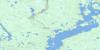
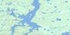
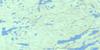
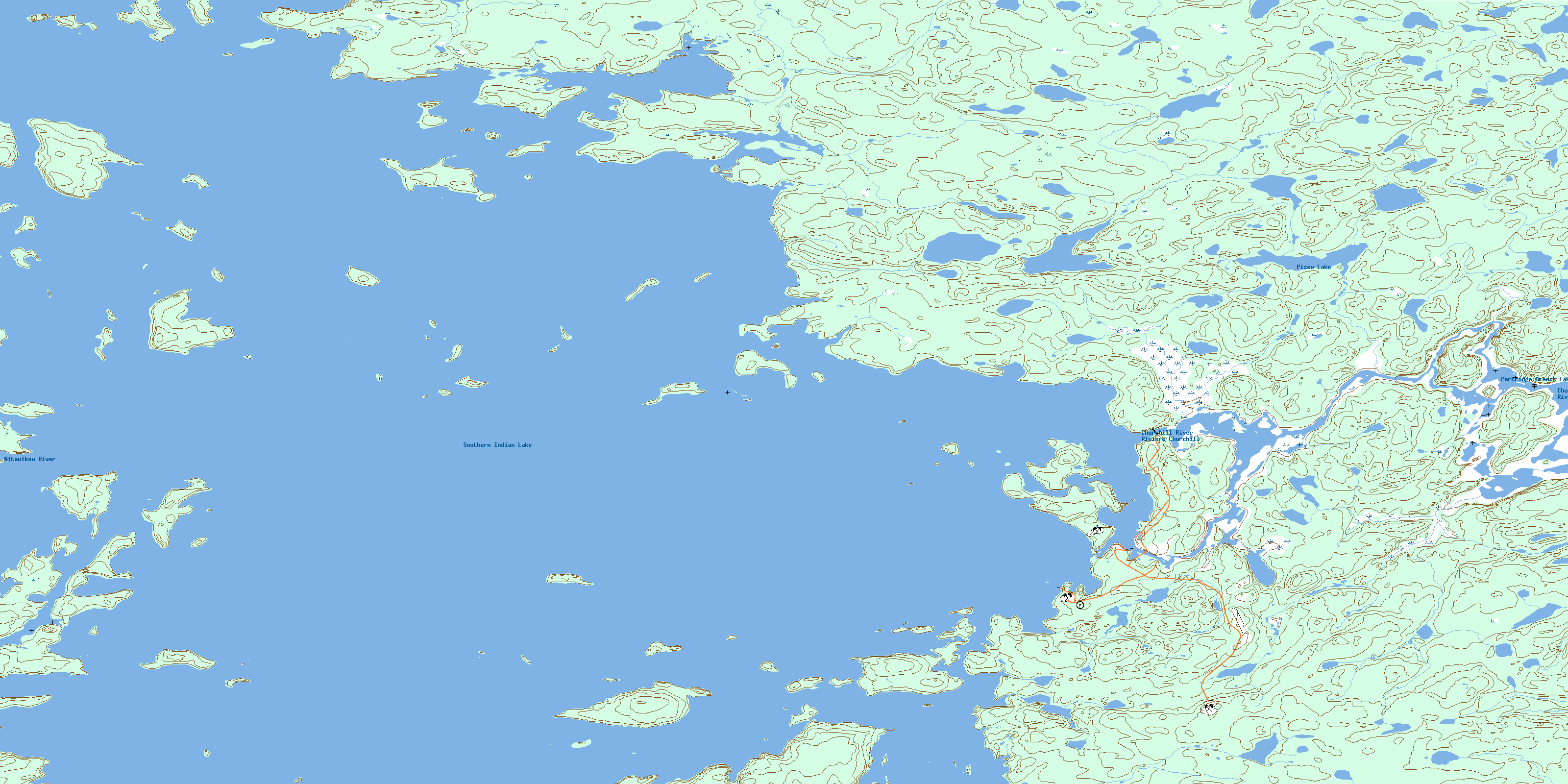
064G08 Missi Rapid Topo Map
To view this map, mouse over the map preview on the right.
You can also download this topo map for free:
064G08 Missi Rapid high-resolution topo map image.
Maps for the Missi Rapid topo map sheet 064G08 at 1:50,000 scale are also available in these versions:
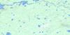
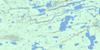
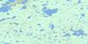
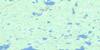
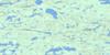
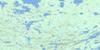
Missi Rapid Surrounding Area Topo Maps
 |
 |
 |
 |
 |
 |
 |
 |
 |
 |
 |
 |
 |
 |
 |
 |
© Department of Natural Resources Canada. All rights reserved.
Missi Rapid Gazetteer
The following places can be found on topographic map sheet 064G08 Missi Rapid:
Missi Rapid Topo Map: Bays
Pisew BayMissi Rapid Topo Map: Capes
Moose PointSand Point
Missi Rapid Topo Map: Channels
Duck NarrowsLoon Narrows
Namayo Narrows
Missi Rapid Topo Map: Falls
Missi FallsMissi Rapid Topo Map: Hydraulic construction
Missi Falls Control StructureMissi Rapid Topo Map: Islands
Bombadier IslandBudgie Island
Cronk Island
Loon Island
Patterson Island
Sand Island
Sheppard Island
Strawberry Island
Turtle Island
Zuba Island
Missi Rapid Topo Map: Lakes
Partridge Breast LakePisew Lake
Southern Indian Lake
Missi Rapid Topo Map: Rapids
Missi RapidMissi Rapid Topo Map: Rivers
Churchill RiverNitawikew River
Pisew Creek
Rivière Churchill
© Department of Natural Resources Canada. All rights reserved.
064G Related Maps:
064G Big Sand Lake064G01 Torrance Lake
064G02 Numakoos Lake
064G03 Mulcahy Lake
064G04 Grandmother Lake
064G05 James Lake
064G06 Mackerracher Lake
064G07 Nutter Lake
064G08 Missi Rapid
064G09 Hammond Point
064G10 Moss Lake
064G11 Sedgwick Lake
064G12 Hendry Lake
064G13 Maxwell Lake
064G14 Wolf Lake
064G15 Little Sand Lake
064G16 Chipewyan Lake
