Currie Lake Topo Map Online
Download Free Topo Map Sheet 064H13 at 1:50,000 scale
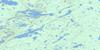
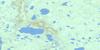
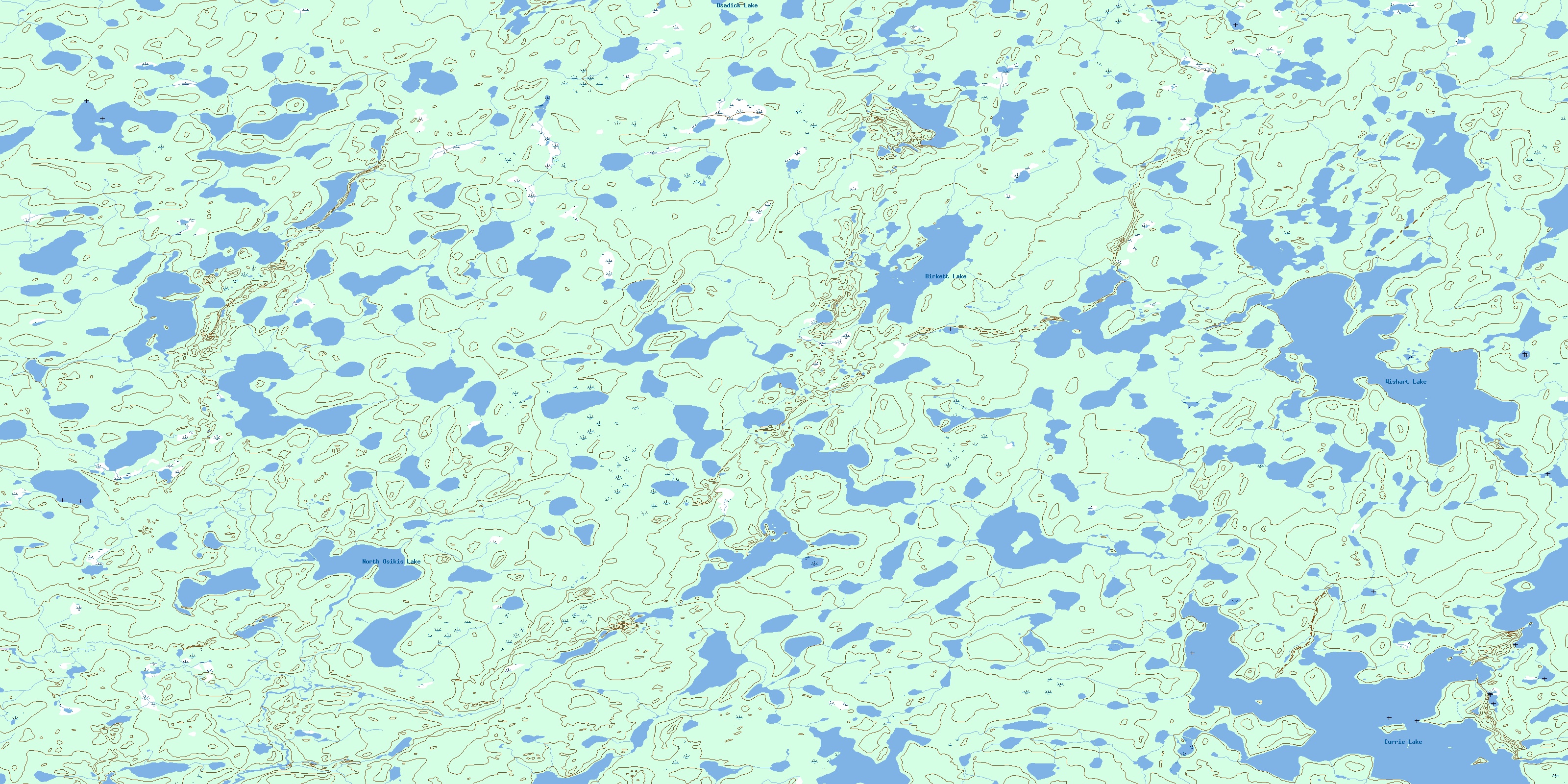
064H13 Currie Lake Topo Map
To view this map, mouse over the map preview on the right.
You can also download this topo map for free:
064H13 Currie Lake high-resolution topo map image.
Maps for the Currie Lake topo map sheet 064H13 at 1:50,000 scale are also available in these versions:
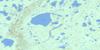
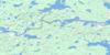
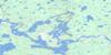
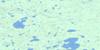
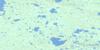
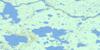
Currie Lake Surrounding Area Topo Maps
 |
 |
 |
 |
 |
 |
 |
 |
 |
 |
 |
 |
 |
 |
 |
 |
© Department of Natural Resources Canada. All rights reserved.
Currie Lake Gazetteer
The following places can be found on topographic map sheet 064H13 Currie Lake:
Currie Lake Topo Map: Bays
Olson BayPowell Bay
Currie Lake Topo Map: Capes
Crawford PointParker Point
Currie Lake Topo Map: Lakes
Birkett LakeCurrie Lake
Hole Lake
Merritt Johnston Lake
North Osikis Lake
Osadick Lake
Warren Lake
William James Lake
Wishart Lake
Currie Lake Topo Map: Conservation areas
Sand Lakes Provincial ParkCurrie Lake Topo Map: Rivers
Brown RiverOldman River
Waddie River
© Department of Natural Resources Canada. All rights reserved.
064H Related Maps:
064H Northern Indian Lake064H01 Billard Lake
064H02 Holmes Lake
064H03 Hood Lake
064H04 Mcleod Peninsula
064H05 Wood Lake
064H06 Kilfoyle Lake
064H07 Solmundsson Lake
064H08 Freeman Lake
064H09 Rusnak Lake
064H10 Buckland Lake
064H11 Small Lake
064H12 Majury Lake
064H13 Currie Lake
064H14 Knifehead Lake
064H15 Etawney Lake
064H16 Einarson Lake
