Legary Lake Topo Map Online
Download Free Topo Map Sheet 064I05 at 1:50,000 scale
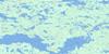
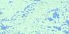
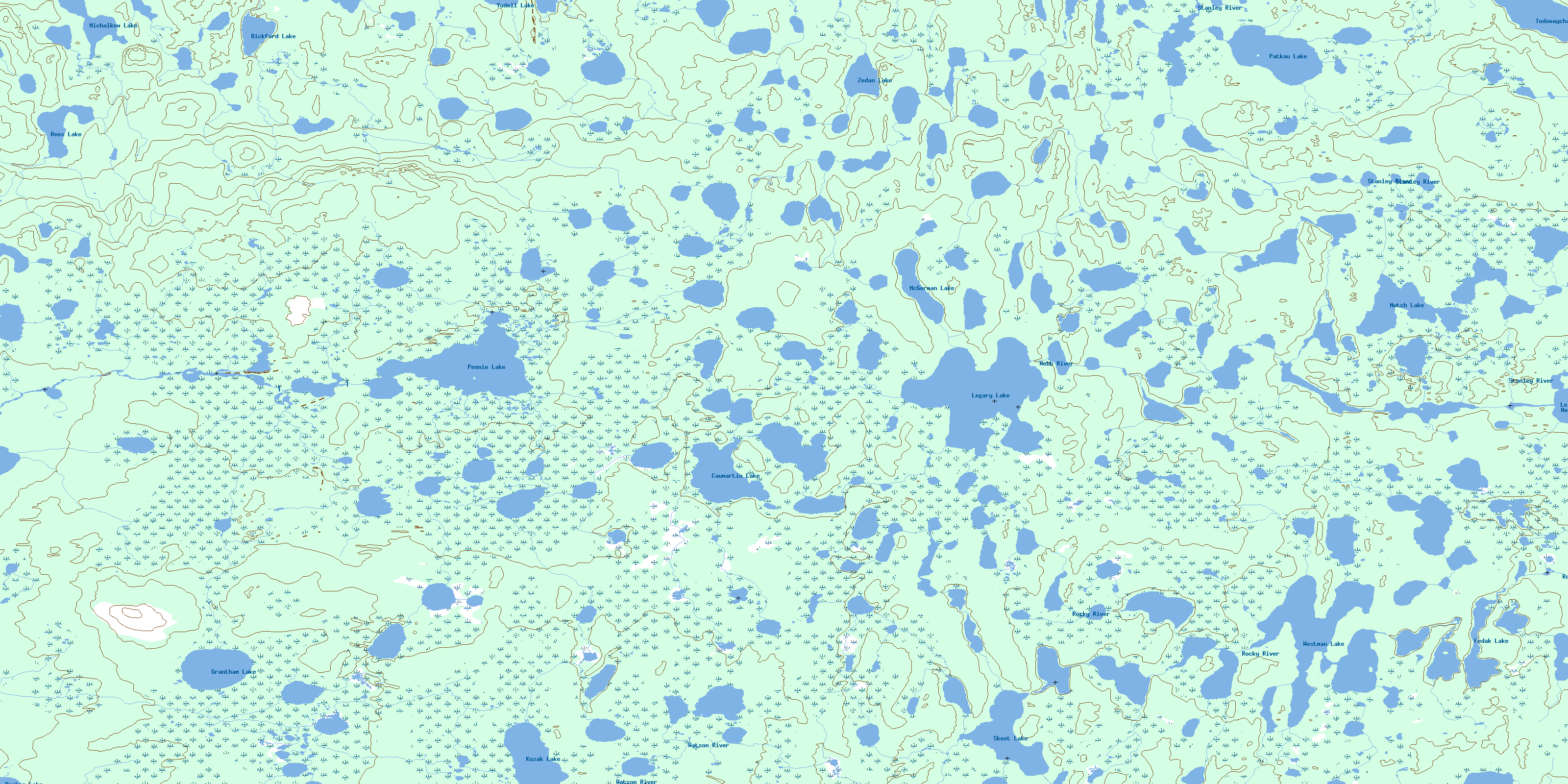
064I05 Legary Lake Topo Map
To view this map, mouse over the map preview on the right.
You can also download this topo map for free:
064I05 Legary Lake high-resolution topo map image.
Maps for the Legary Lake topo map sheet 064I05 at 1:50,000 scale are also available in these versions:
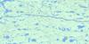
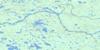
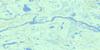
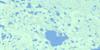
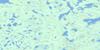
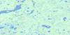
Legary Lake Surrounding Area Topo Maps
 |
 |
 |
 |
 |
 |
 |
 |
 |
 |
 |
 |
 |
 |
 |
 |
© Department of Natural Resources Canada. All rights reserved.
Legary Lake Gazetteer
The following places can be found on topographic map sheet 064I05 Legary Lake:
Legary Lake Topo Map: Capes
Green PointMunroe Point
Legary Lake Topo Map: Lakes
Becker LakeBickford Lake
Caumartin Lake
Fedak Lake
Grantham Lake
Kozak Lake
Legary Lake
Lelond Lake
McGorman Lake
Michalkow Lake
Mutch Lake
Patkau Lake
Pennie Lake
Rees Lake
Robert Moore Lake
Skeet Lake
Sopko Lake
Todowaycha Lake
Westman Lake
Yudell Lake
Zedan Lake
Legary Lake Topo Map: Rivers
Rocky RiverStanley River
Watson River
Webb River
© Department of Natural Resources Canada. All rights reserved.
064I Related Maps:
064I Shethanei Lake064I01 Merriam Lake
064I02 Allan Lake
064I03 Blyth Lake
064I04 Ashley Lake
064I05 Legary Lake
064I06 Paragon Lake
064I07 Archer Creek
064I08 Nares Lake
064I09 Nichol Lake
064I10 Lovat Lake
064I11 Quinn Lake
064I12 Wasslen Lake
064I13 Dawes Lake
064I14 Steel River
064I15 Wither Lake
064I16 Meades Lake
