Allan Lake Topo Map Online
Download Free Topo Map Sheet 064I02 at 1:50,000 scale
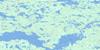
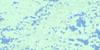
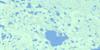
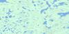
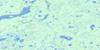
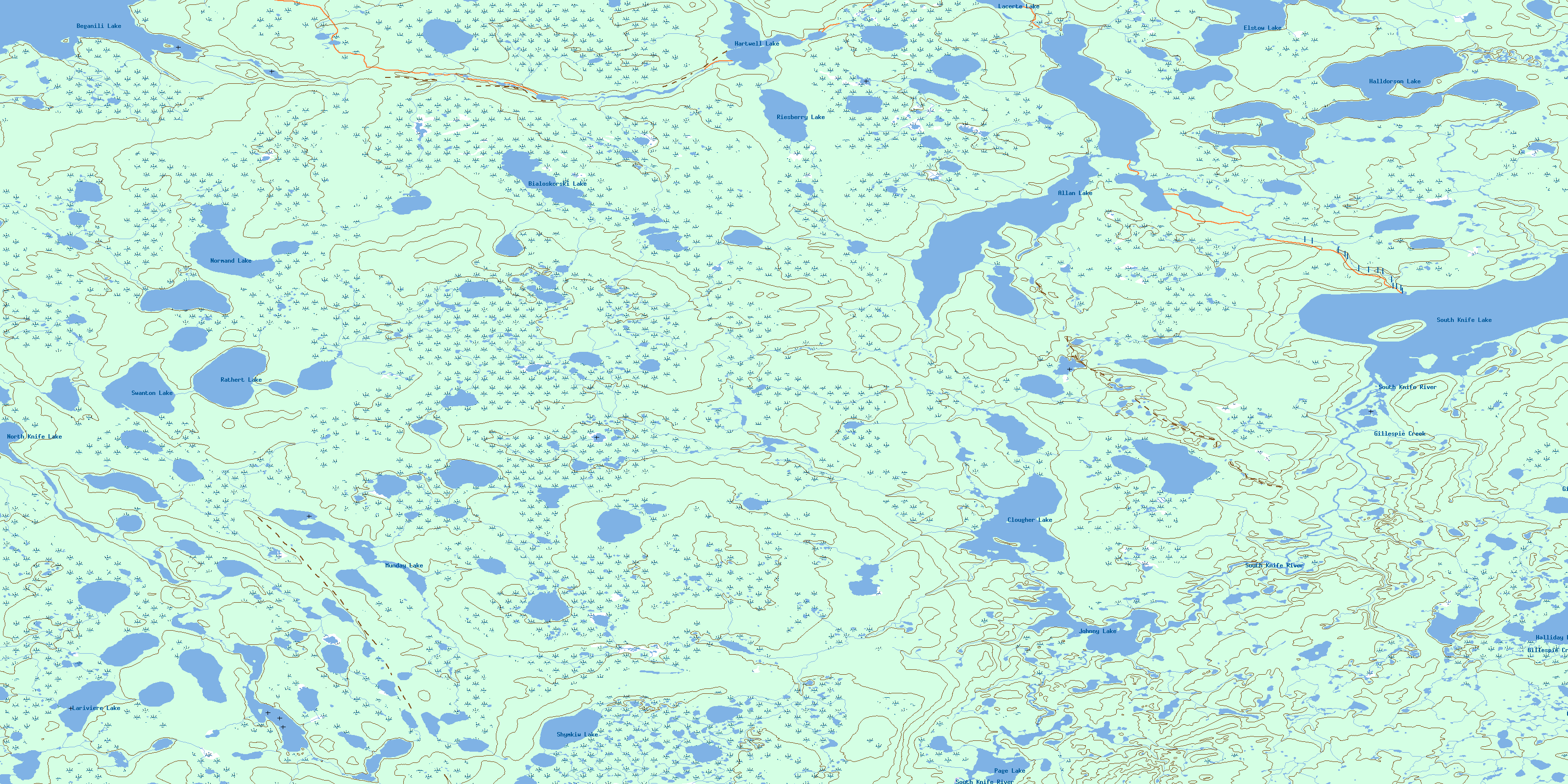
064I02 Allan Lake Topo Map
To view this map, mouse over the map preview on the right.
You can also download this topo map for free:
064I02 Allan Lake high-resolution topo map image.
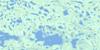
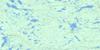
Maps for the Allan Lake topo map sheet 064I02 at 1:50,000 scale are also available in these versions:
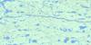
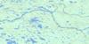
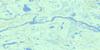
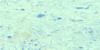
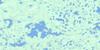
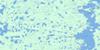
Allan Lake Surrounding Area Topo Maps
 |
 |
 |
 |
 |
 |
 |
 |
 |
 |
 |
 |
 |
 |
 |
 |
© Department of Natural Resources Canada. All rights reserved.
Allan Lake Gazetteer
The following places can be found on topographic map sheet 064I02 Allan Lake:
Allan Lake Topo Map: Bays
Booth BayAllan Lake Topo Map: Capes
Cox PeninsulaAllan Lake Topo Map: Channels
Wilson NarrowsAllan Lake Topo Map: Islands
Hendry IslandWilliams Island
Allan Lake Topo Map: Lakes
Allan LakeBeganili Lake
Bialoskorski Lake
Clougher Lake
Elstow Lake
Halldorson Lake
Halliday Lake
Hartwell Lake
Johnny Lake
Lacerte Lake
Lariviere Lake
Larivière Lake
Munday Lake
Normand Lake
North Knife Lake
Page Lake
Rathert Lake
Riesberry Lake
Shymkiw Lake
South Knife Lake
Swanton Lake
Swanton Lake
Allan Lake Topo Map: Mountains
Anderson EskerWilliams Esker
Allan Lake Topo Map: Conservation areas
Numaykoos Lake Provincial ParkAllan Lake Topo Map: Rivers
Gillespie CreekHilton Gillespie Creek
McDonald Creek
South Knife River
© Department of Natural Resources Canada. All rights reserved.
064I Related Maps:
064I Shethanei Lake064I01 Merriam Lake
064I02 Allan Lake
064I03 Blyth Lake
064I04 Ashley Lake
064I05 Legary Lake
064I06 Paragon Lake
064I07 Archer Creek
064I08 Nares Lake
064I09 Nichol Lake
064I10 Lovat Lake
064I11 Quinn Lake
064I12 Wasslen Lake
064I13 Dawes Lake
064I14 Steel River
064I15 Wither Lake
064I16 Meades Lake
