Wasslen Lake Topo Map Online
Download Free Topo Map Sheet 064I12 at 1:50,000 scale
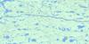
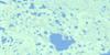
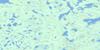
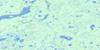
064I12 Wasslen Lake Topo Map
To view this map, mouse over the map preview on the right.
You can also download this topo map for free:
064I12 Wasslen Lake high-resolution topo map image.
Maps for the Wasslen Lake topo map sheet 064I12 at 1:50,000 scale are also available in these versions:
Wasslen Lake Surrounding Area Topo Maps
 |
 |
 |
 |
 |
 |
 |
 |
 |
 |
 |
 |
 |
 |
 |
 |
© Department of Natural Resources Canada. All rights reserved.
Wasslen Lake Gazetteer
The following places can be found on topographic map sheet 064I12 Wasslen Lake:
Wasslen Lake Topo Map: Bays
Kyle BayLaird Bay
Logan Bay
Preston Bay
Wasslen Lake Topo Map: Capes
Woods PointWasslen Lake Topo Map: Channels
Evans NarrowsWasslen Lake Topo Map: Islands
Horn IslandLyons Island
Wasslen Lake Topo Map: Lakes
Buckoski LakeDennis Lake
Forsman Lake
Hlowananatseda Lake
Kerman Lake
Koscielski Lake
Mandzuk Lake
Michalkow Lake
Nisbet Lake
Noguy Lake
Nordvall Lake
Nordvall Lake
Pott Lake
Sattelberger Lake
Schieve Lake
Shethanei Lake
Soanes Lake
Sopko Lake
Sopko Lake
Sutherland Lake
Todowaycha Lake
Walmsley Lake
Wasslen Lake
Yudell Lake
Wasslen Lake Topo Map: Mountains
Armstrong HillNelson Hill
Taylor Esker
Thomas Esker
Wasslen Lake Topo Map: Rapids
Bell RapidsMunroe Rapids
Wasslen Lake Topo Map: Rivers
Stanley River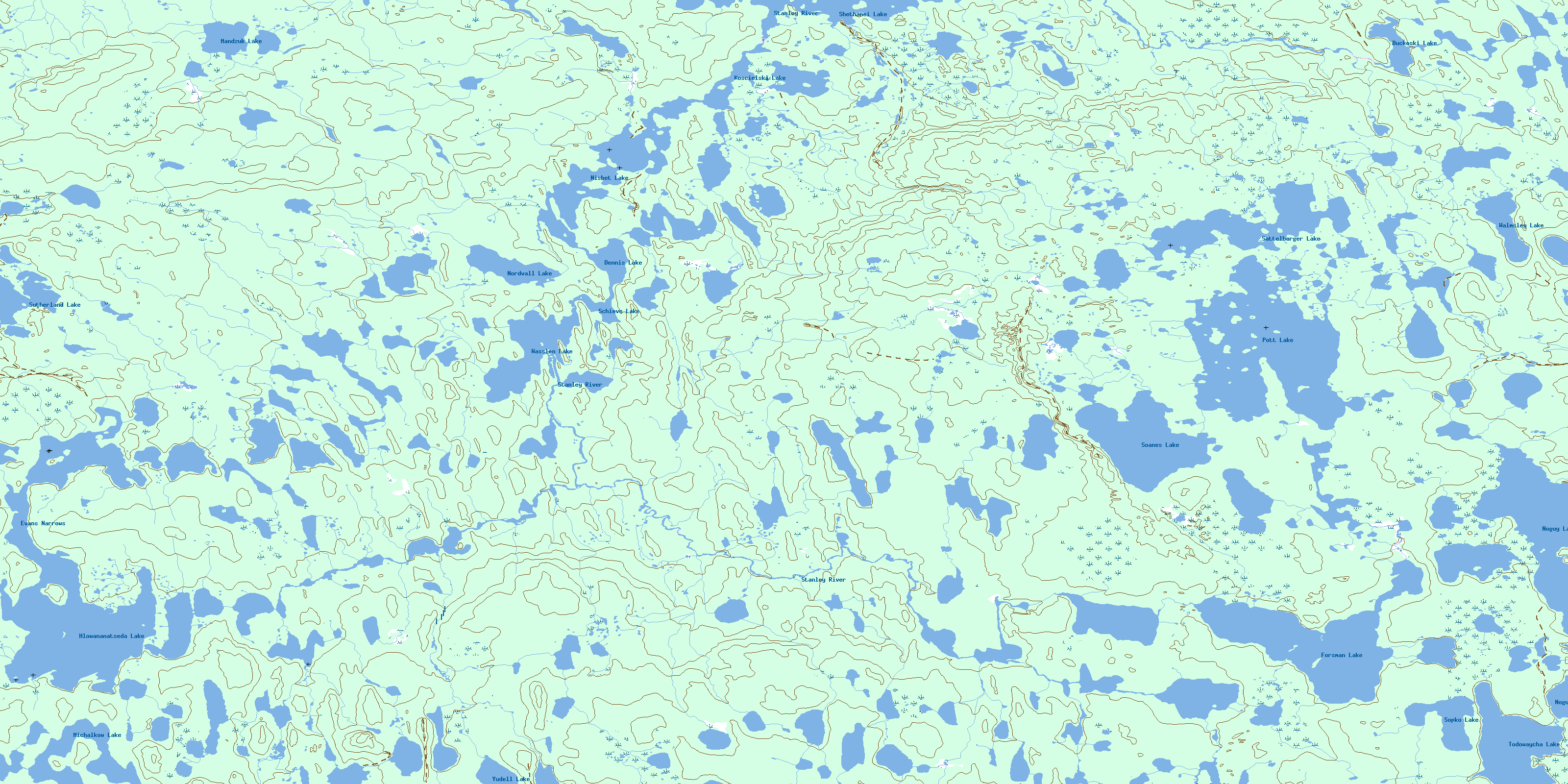
© Department of Natural Resources Canada. All rights reserved.
064I Related Maps:
064I Shethanei Lake064I01 Merriam Lake
064I02 Allan Lake
064I03 Blyth Lake
064I04 Ashley Lake
064I05 Legary Lake
064I06 Paragon Lake
064I07 Archer Creek
064I08 Nares Lake
064I09 Nichol Lake
064I10 Lovat Lake
064I11 Quinn Lake
064I12 Wasslen Lake
064I13 Dawes Lake
064I14 Steel River
064I15 Wither Lake
064I16 Meades Lake
