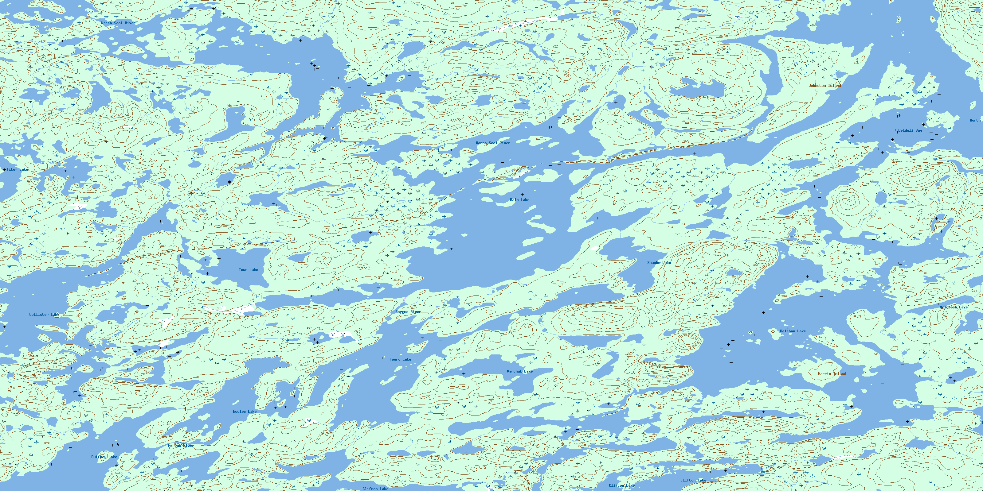
Bain Lake Topo Map Online
Download Free Topo Map Sheet 064J14 at 1:50,000 scale
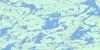
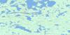
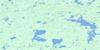
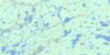
064J14 Bain Lake Topo Map
To view this map, mouse over the map preview on the right.
You can also download this topo map for free:
064J14 Bain Lake high-resolution topo map image.
Maps for the Bain Lake topo map sheet 064J14 at 1:50,000 scale are also available in these versions:
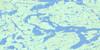
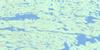
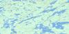
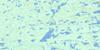
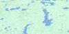
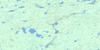
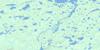
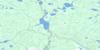
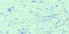
Bain Lake Surrounding Area Topo Maps
 |
 |
 |
 |
 |
 |
 |
 |
 |
 |
 |
 |
 |
 |
 |
 |
© Department of Natural Resources Canada. All rights reserved.
Bain Lake Gazetteer
The following places can be found on topographic map sheet 064J14 Bain Lake:
Bain Lake Topo Map: Bays
Cantin BayDeldeli Bay
Lawson Bay
Willis Bay
Bain Lake Topo Map: Islands
Angus IslandCantin Island
Harris Island
Johnston Island
Bain Lake Topo Map: Lakes
Bain LakeBelsham Lake
Clifton Lake
Collister Lake
Duffney Lake
Eccles Lake
Foord Lake
MacWilliam Lake
McIntosh Lake
Shanks Lake
Titof Lake
Town Lake
Waychuk Lake
Bain Lake Topo Map: Rivers
Fergus RiverJohnson River
North Seal River
© Department of Natural Resources Canada. All rights reserved.
064J Related Maps:
064J Tadoule Lake064J01 Fox Lake
064J02 Gimby Lake
064J03 Samson Lake
064J04 Morand Lake
064J05 Sprott Lake
064J06 Cheyne Lakes
064J07 Kinsman Lake
064J08 Porcupine Rapids
064J09 Tadoule Lake
064J10 Shewfelt Lake
064J11 Lunney Lake
064J12 Clisby Lake
064J13 Nicklin Lake
064J14 Bain Lake
064J15 Seaman Island
064J16 Frame Lake
