Wakefield Lake Topo Map Online
Download Free Topo Map Sheet 064P13 at 1:50,000 scale
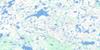
064P13 Wakefield Lake Topo Map
To view this map, mouse over the map preview on the right.
You can also download this topo map for free:
064P13 Wakefield Lake high-resolution topo map image.
Maps for the Wakefield Lake topo map sheet 064P13 at 1:50,000 scale are also available in these versions:
Wakefield Lake Surrounding Area Topo Maps
 |
 |
 |
 |
 |
 |
 |
 |
 |
 |
 |
 |
 |
 |
 |
 |
© Department of Natural Resources Canada. All rights reserved.
Wakefield Lake Gazetteer
The following places can be found on topographic map sheet 064P13 Wakefield Lake:
Wakefield Lake Topo Map: Bays
Carson BayWakefield Lake Topo Map: Capes
Echo PointHarvey Point
Jackson Point
Logical Point
Moffat Point
Sigurdson Peninsula
Wakefield Lake Topo Map: Islands
Betts IslandCroll Island
MacPherson Island
Macpherson Island
Wakefield Lake Topo Map: Lakes
Baralzon LakeBruce Lake
Bulloch Lake
Chawanski Lake
Dowland Lake
Farnie Lake
Glover Lake
Griffiths Lake
Hurton Lake
Inverarity Lake
Lazenby Lake
Lowe Lake
McCaskill Lake
Nejanilini Lake
Nicholson Lake
Palmatier Lake
Phelps Lake
Rudick Lake
Shuttleworth Lake
Spratt Lake
Trewin Lake
Wakefield Lake
Warburton Lake
Wakefield Lake Topo Map: Mountains
Ben Johnson HillWakefield Lake Topo Map: Provinces
ManitobaWakefield Lake Topo Map: Rivers
Lazenby CreekRoberts River
Townsend River
Wolverine River
Wakefield Lake Topo Map: Territory
Nunavut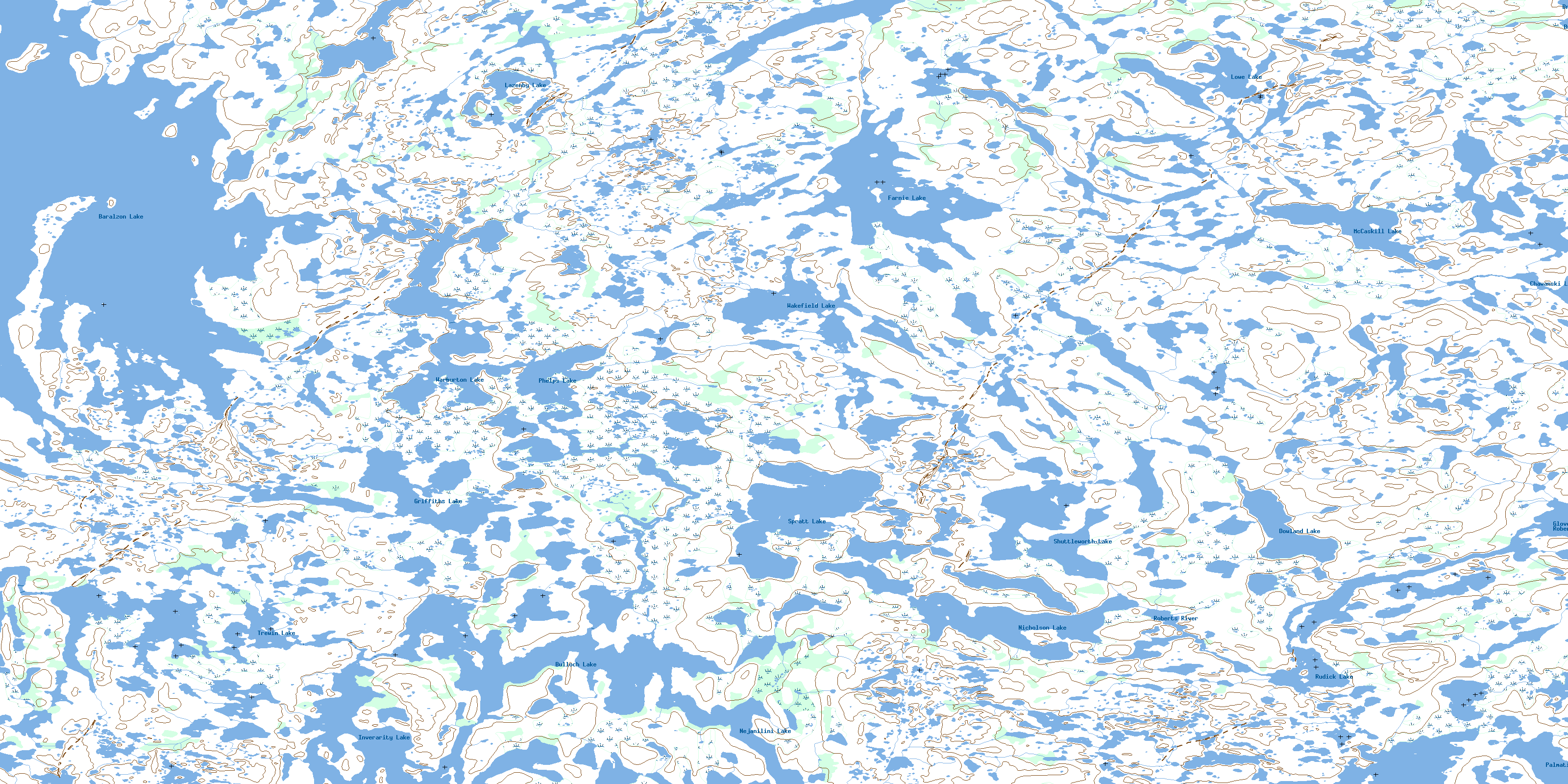
© Department of Natural Resources Canada. All rights reserved.
064P Related Maps:
064P Nejanilini Lake064P01 Hebner Lake
064P02 Kesselman Lake
064P03 Sellar Lake
064P04 Macleod Lake
064P05 Little Duck Lake
064P06 Fallis Lake
064P07 Wallbridge Lake
064P08 Caribou Lake
064P09 Kellas Lake
064P10 Adam Creek
064P11 Abbott Lake
064P12 Hollowrock Island
064P13 Wakefield Lake
064P14 Commonwealth Lake
064P15 Vickery Lake
064P16 Nabel Lake
