Hoare Point Topo Map Online
Download Free Topo Map Sheet 066C10 at 1:50,000 scale
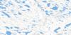
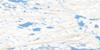
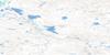
066C10 Hoare Point Topo Map
To view this map, mouse over the map preview on the right.
You can also download this topo map for free:
066C10 Hoare Point high-resolution topo map image.
Maps for the Hoare Point topo map sheet 066C10 at 1:50,000 scale are also available in these versions:
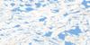
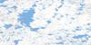
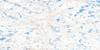
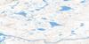
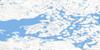
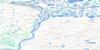
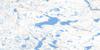
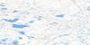
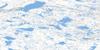
Hoare Point Surrounding Area Topo Maps
 |
 |
 |
 |
 |
 |
 |
 |
 |
 |
 |
 |
 |
 |
 |
 |
© Department of Natural Resources Canada. All rights reserved.
Hoare Point Gazetteer
The following places can be found on topographic map sheet 066C10 Hoare Point:
Hoare Point Topo Map: Capes
Hoare PointHoare Point Topo Map: Lakes
Beverly LakeHoare Point Topo Map: Mountains
Akiliniq HillsHoare Point Topo Map: Conservation areas
Thelon Game SanctuaryHoare Point Topo Map: Rivers
Thelon River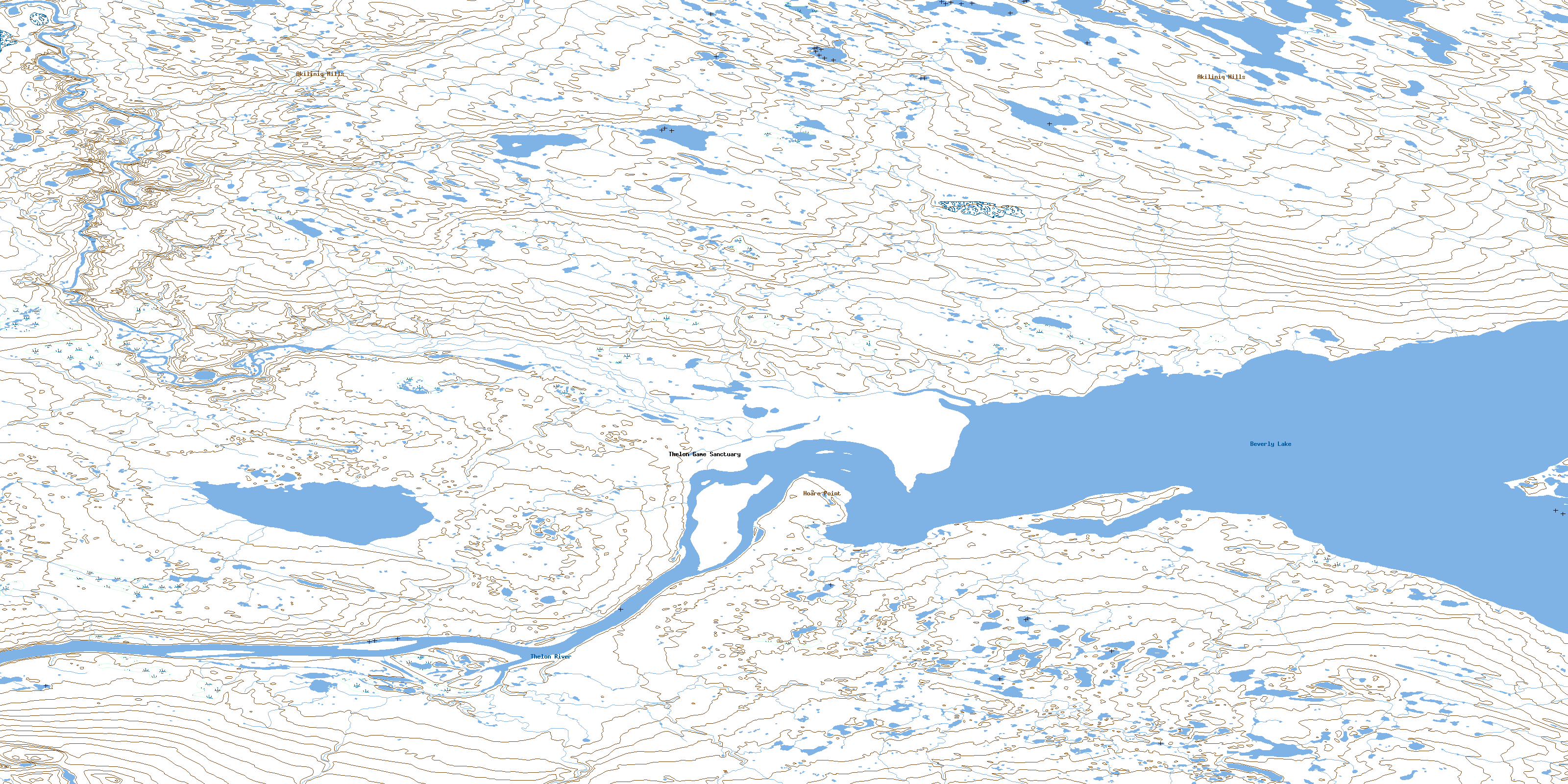
© Department of Natural Resources Canada. All rights reserved.
066C Related Maps:
066C Beverly Lake066C01 No Title
066C02 No Title
066C03 No Title
066C04 No Title
066C05 Ursus Islands
066C06 Spruce Grove Lake
066C07 No Title
066C08 No Title
066C09 Isarurjuaq Peninsula
066C10 Hoare Point
066C11 Thelon Bluffs
066C12 No Title
066C13 No Title
066C14 No Title
066C15 No Title
066C16 No Title
