Ponteix Topo Map Online
Download Free Topo Map Sheet 072G11 at 1:50,000 scale
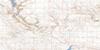
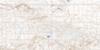
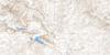
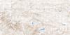
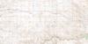
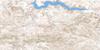
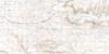
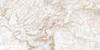
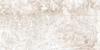
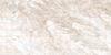
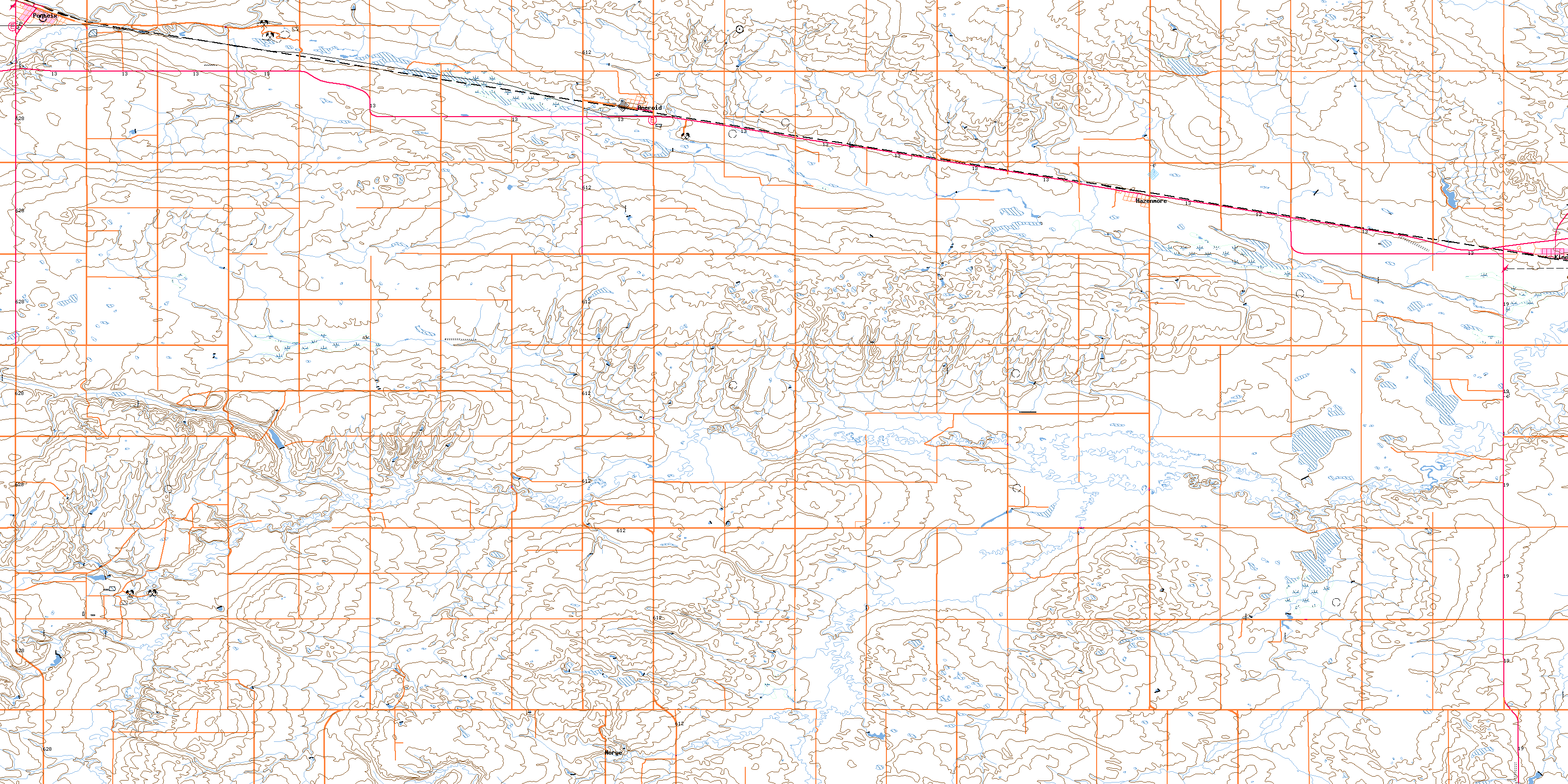
072G11 Ponteix Topo Map
To view this map, mouse over the map preview on the right.
You can also download this topo map for free:
072G11 Ponteix high-resolution topo map image.
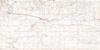
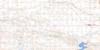
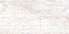
Maps for the Ponteix topo map sheet 072G11 at 1:50,000 scale are also available in these versions:
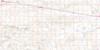
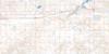
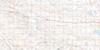
Ponteix Surrounding Area Topo Maps
 |
 |
 |
 |
 |
 |
 |
 |
 |
 |
 |
 |
 |
 |
 |
 |
© Department of Natural Resources Canada. All rights reserved.
Ponteix Gazetteer
The following places can be found on topographic map sheet 072G11 Ponteix:
Ponteix Topo Map: Hamlets
AneroidPonteix Topo Map: Other municipal/district area - miscellaneous
Auvergne No. 76Glen McPherson No. 46
Mankota No. 45
Pinto Creek No. 75
Ponteix Topo Map: Conservation areas
Notukeu Regional ParkPonteix Topo Map: Rivers
Laville CreekNotukeu Creek
Pinto Creek
Ponteix Topo Map: Towns
PonteixPonteix Topo Map: Unincorporated areas
NorgeQuimper
Wallard
Ponteix Topo Map: Villages
HazenmoreKincaid
© Department of Natural Resources Canada. All rights reserved.
