Riceton Topo Map Online
Download Free Topo Map Sheet 072I01 at 1:50,000 scale
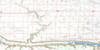
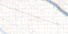
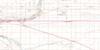
072I01 Riceton Topo Map
To view this map, mouse over the map preview on the right.
You can also download this topo map for free:
072I01 Riceton high-resolution topo map image.
Maps for the Riceton topo map sheet 072I01 at 1:50,000 scale are also available in these versions:
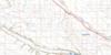
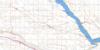
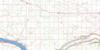
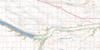
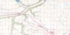
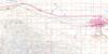
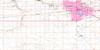
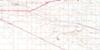
Riceton Surrounding Area Topo Maps
 |
 |
 |
 |
 |
 |
 |
 |
 |
 |
 |
 |
 |
 |
 |
 |
© Department of Natural Resources Canada. All rights reserved.
Riceton Gazetteer
The following places can be found on topographic map sheet 072I01 Riceton:
Riceton Topo Map: Hamlets
GrayRiceton
Riceton Topo Map: Other municipal/district area - miscellaneous
Bratt's Lake No. 129Caledonia No. 99
Francis No. 127
Lajord No. 128
Scott No. 98
Wellington No. 97
Riceton Topo Map: Rivers
Wascana CreekRiceton Topo Map: Unincorporated areas
BechardLajord
Lewvan
Riceton Topo Map: Villages
Sedley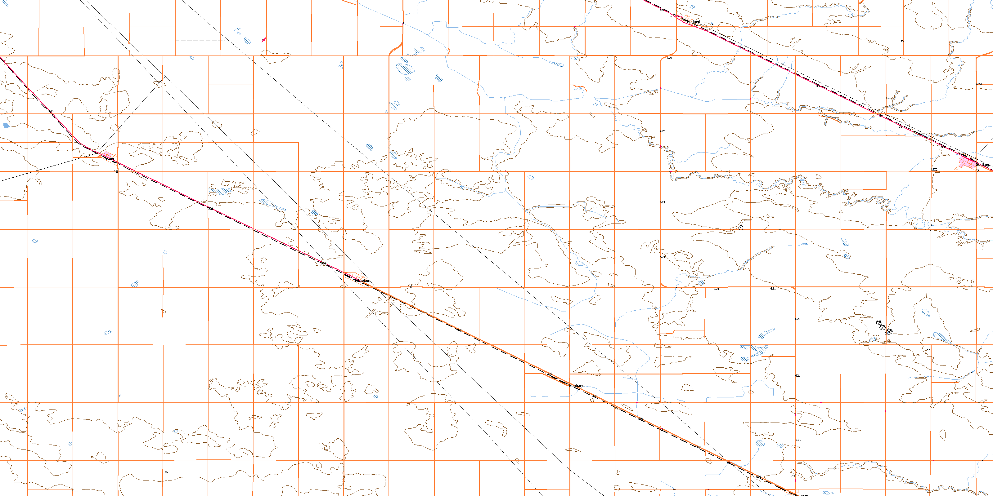
© Department of Natural Resources Canada. All rights reserved.
