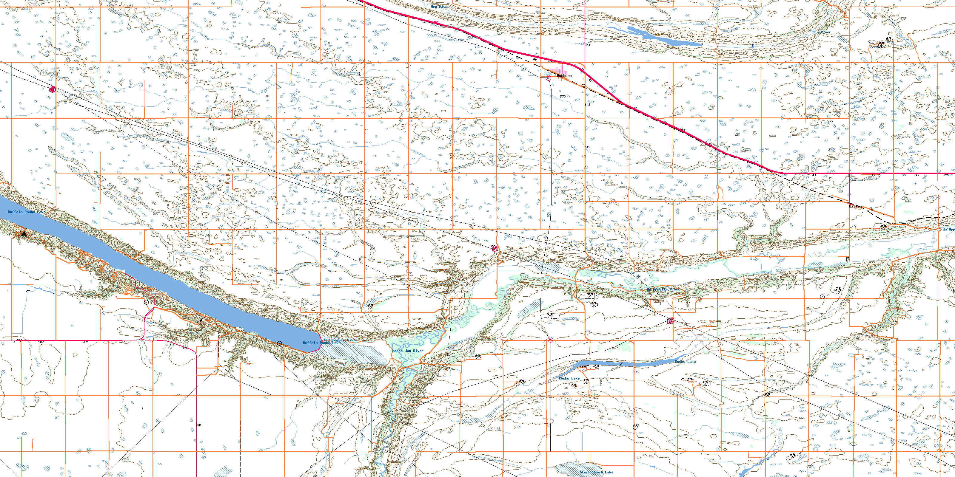
Bethune Topo Map Online
Download Free Topo Map Sheet 072I11 at 1:50,000 scale
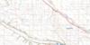
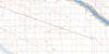
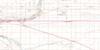
072I11 Bethune Topo Map
To view this map, mouse over the map preview on the right.
You can also download this topo map for free:
072I11 Bethune high-resolution topo map image.
Maps for the Bethune topo map sheet 072I11 at 1:50,000 scale are also available in these versions:
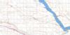
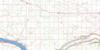
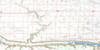
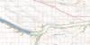
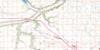
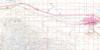
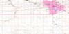
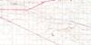
Bethune Surrounding Area Topo Maps
 |
 |
 |
 |
 |
 |
 |
 |
 |
 |
 |
 |
 |
 |
 |
 |
© Department of Natural Resources Canada. All rights reserved.
Bethune Gazetteer
The following places can be found on topographic map sheet 072I11 Bethune:
Bethune Topo Map: Hamlets
ParkviewBethune Topo Map: Lakes
Buffalo Pound LakeRocky Lake
Stony Beach Lake
Bethune Topo Map: Other municipal/district area - miscellaneous
Dufferin No. 190Lumsden No. 189
Marquis No. 191
Moose Jaw No. 161
Pense No. 160
Bethune Topo Map: Conservation areas
Bethune Recreation SiteBuffalo Pound Provincial Park
Bethune Topo Map: Rivers
Arm RiverHigh Hill Creek
Moose Jaw Creek
Moose Jaw River
Qu'Appelle River
Bethune Topo Map: Villages
BethuneDisley
© Department of Natural Resources Canada. All rights reserved.
