Holdfast Topo Map Online
Download Free Topo Map Sheet 072I14 at 1:50,000 scale
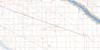
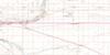
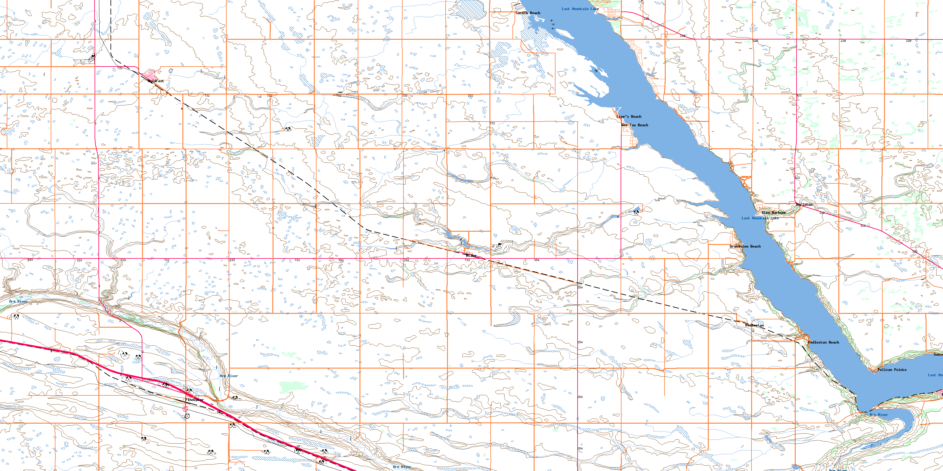
072I14 Holdfast Topo Map
To view this map, mouse over the map preview on the right.
You can also download this topo map for free:
072I14 Holdfast high-resolution topo map image.
Maps for the Holdfast topo map sheet 072I14 at 1:50,000 scale are also available in these versions:
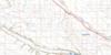
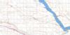
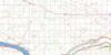
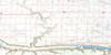
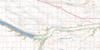
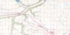
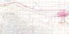
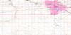
Holdfast Surrounding Area Topo Maps
 |
 |
 |
 |
 |
 |
 |
 |
 |
 |
 |
 |
 |
 |
 |
 |
© Department of Natural Resources Canada. All rights reserved.
Holdfast Gazetteer
The following places can be found on topographic map sheet 072I14 Holdfast:
Holdfast Topo Map: Bays
Little Arm BayHoldfast Topo Map: Capes
Fox PointPelican Point
Holdfast Topo Map: Hamlets
Colesdale ParkLasal Bay
Lipp's Beach
Mohr's Beach
North Colesdale Park
Sarnia Beach
Sorenson's Beach
Spring Bay
Strasbourg Beach
Uhl's Bay
Holdfast Topo Map: Indian Reserves
Last Mountain Lake 80AHoldfast Topo Map: Lakes
Last Mountain LakeHoldfast Topo Map: Other municipal/district area - miscellaneous
Dufferin No. 190McKillop No. 220
Sarnia No. 221
Holdfast Topo Map: Conservation areas
Arm River Recreation SiteRegina Beach Recreation Site
Rowan's Ravine Provincial Park
Holdfast Topo Map: Rivers
Arm RiverHoldfast Topo Map: Towns
Regina BeachHoldfast Topo Map: Unincorporated areas
Fox PointKedleston
Kedleston Beach
Marieton
Marieton Beach
Pelican Point
Sunset Bay
Wee-Too Beach
Holdfast Topo Map: Valleys
Klockow RavineRowan Ravine
Rowan's Ravine
Holdfast Topo Map: Villages
Alice BeachDilke
Findlater
Glen Harbour
Grandview Beach
Holdfast
Island View
Pelican Pointe
Sunset Cove
Wee Too Beach
© Department of Natural Resources Canada. All rights reserved.
