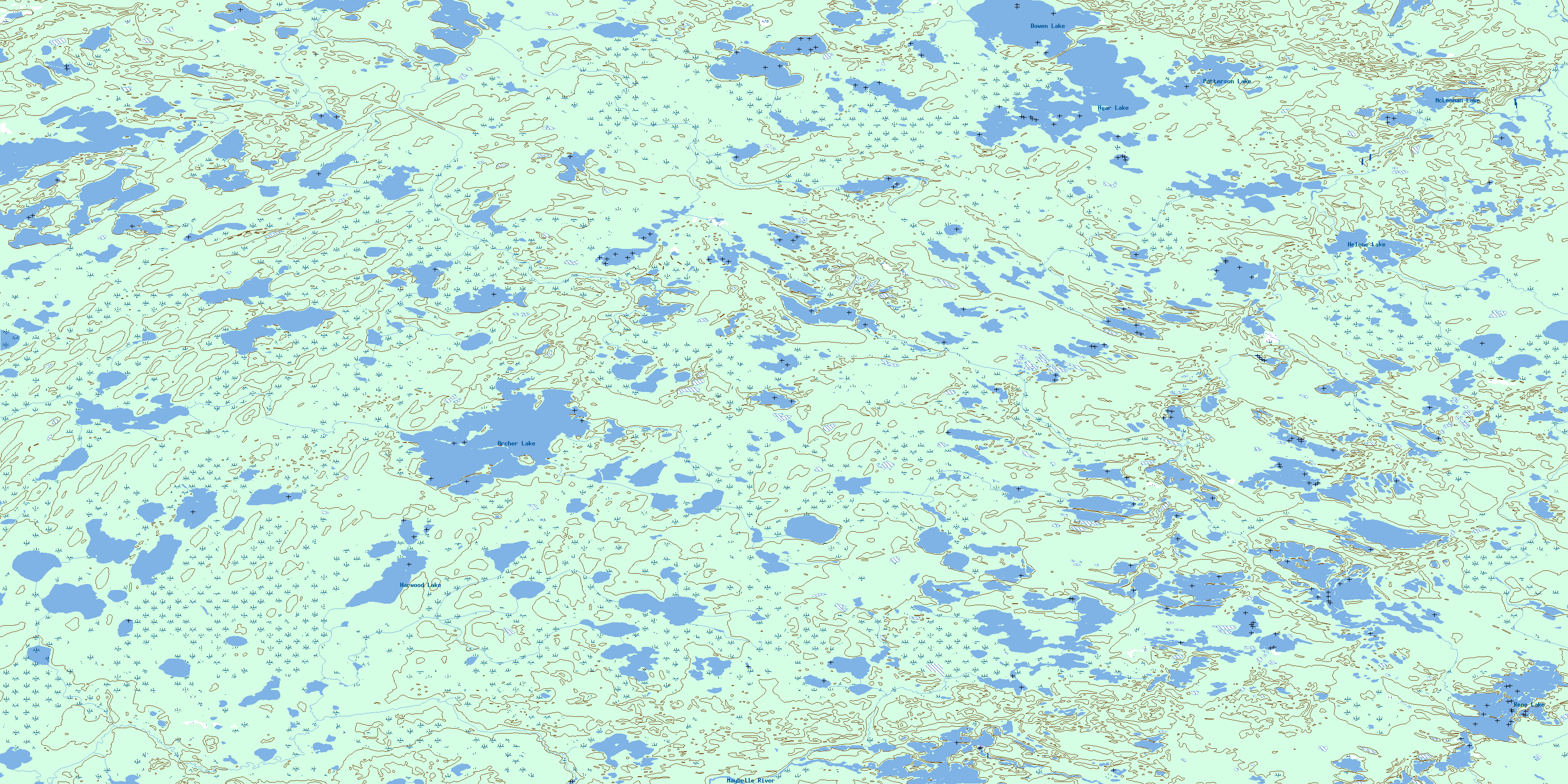
Archer Lake Topo Map Online
Download Free Topo Map Sheet 074L01 at 1:50,000 scale
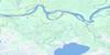
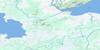
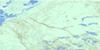
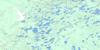
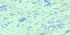
074L01 Archer Lake Topo Map
To view this map, mouse over the map preview on the right.
You can also download this topo map for free:
074L01 Archer Lake high-resolution topo map image.
Maps for the Archer Lake topo map sheet 074L01 at 1:50,000 scale are also available in these versions:
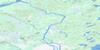
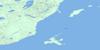
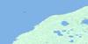
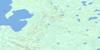
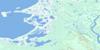
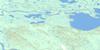
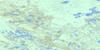
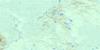
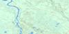
Archer Lake Surrounding Area Topo Maps
 |
 |
 |
 |
 |
 |
 |
 |
 |
 |
 |
 |
 |
 |
 |
 |
© Department of Natural Resources Canada. All rights reserved.
Archer Lake Gazetteer
The following places can be found on topographic map sheet 074L01 Archer Lake:
Archer Lake Topo Map: Lakes
Agar LakeArcher Lake
Bowen Lake
Harwood Lake
Helene Lake
McLennan Lake
Patterson Lake
René Lake
Archer Lake Topo Map: Rivers
Archer CreekBeatty River
Beatty River
Keane Creek
Maybelle River
Old Fort River
Old Fort River
© Department of Natural Resources Canada. All rights reserved.
074L Related Maps:
074L Fort Chipewyan074L01 Archer Lake
074L02 Larocque Lake
074L03 Embarras
074L04 Buckton Creek
074L05 Welstead Lake
074L06 Richardson Lake
074L07 Keane Creek
074L08 Brander Lake
074L09 Old Fort Bay
074L10 Big Point
074L11 Fort Chipewyan
074L12 Hilda Lake
074L13 Baril River
074L14 Riviere Des Rochers
074L15 Bustard Island
074L16 Stone Point
