Perching Lake Topo Map Online
Download Free Topo Map Sheet 074P02 at 1:50,000 scale
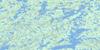
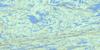
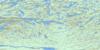
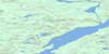
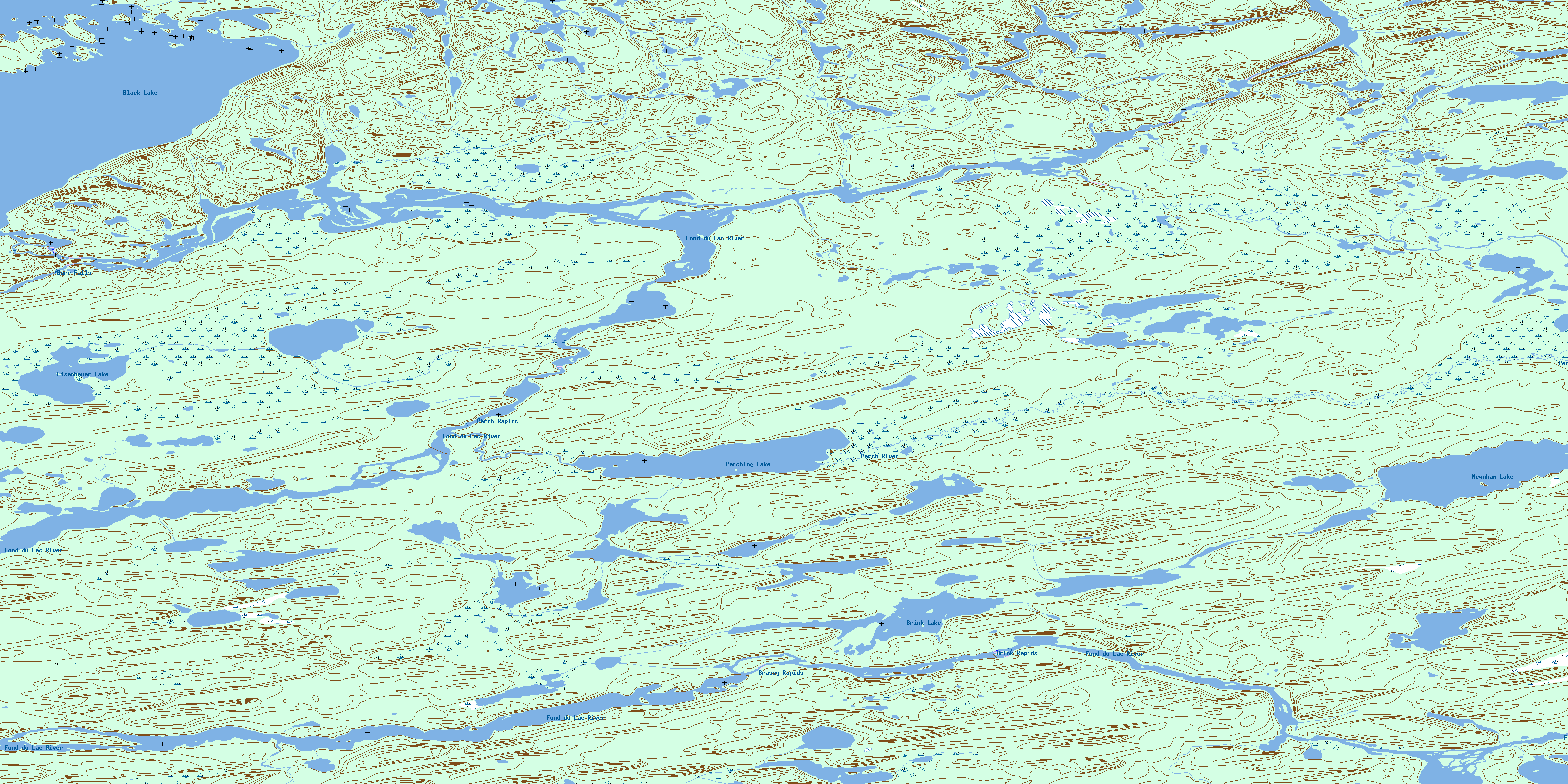
074P02 Perching Lake Topo Map
To view this map, mouse over the map preview on the right.
You can also download this topo map for free:
074P02 Perching Lake high-resolution topo map image.
Maps for the Perching Lake topo map sheet 074P02 at 1:50,000 scale are also available in these versions:
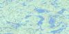
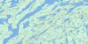
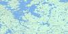
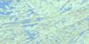
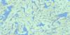
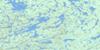
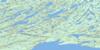
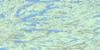
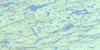
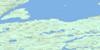
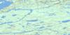
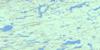
Perching Lake Surrounding Area Topo Maps
 |
 |
 |
 |
 |
 |
 |
 |
 |
 |
 |
 |
 |
 |
 |
 |
© Department of Natural Resources Canada. All rights reserved.
Perching Lake Gazetteer
The following places can be found on topographic map sheet 074P02 Perching Lake:
Perching Lake Topo Map: Falls
Burr FallsPerching Lake Topo Map: Indian Reserves
Chicken 226Perching Lake Topo Map: Islands
Burr IslandPick Island
Perching Lake Topo Map: Lakes
Black LakeBrink Lake
Eisenhauer Lake
Newnham Lake
Perching Lake
Perching Lake Topo Map: Rapids
Brassy RapidsBrink Rapids
Perch Rapids
Perching Lake Topo Map: Rivers
Fond du Lac RiverJervois Creek
Perch River
Porcupine River
© Department of Natural Resources Canada. All rights reserved.
074P Related Maps:
074P Stony Rapids074P01 Cyprian Lake
074P02 Perching Lake
074P03 Fir Island
074P04 Elizabeth Falls
074P05 Clut Lakes
074P06 Lytle Lake
074P07 Higginson Lake
074P08 Pinkham Lake
074P09 Herbert Lake
074P10 Young Lake
074P11 Chambeuil Lake
074P12 Astrolabe Lake
074P13 Dodge Lake
074P14 Seguin Lake
074P15 Gaste Lake
074P16 Offset Lake
