Bathurst Inlet Topo Map Online
Download Free Topo Map Sheet 076K16 at 1:50,000 scale
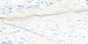
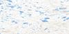
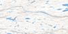
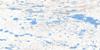
076K16 Bathurst Inlet Topo Map
To view this map, mouse over the map preview on the right.
You can also download this topo map for free:
076K16 Bathurst Inlet high-resolution topo map image.
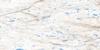
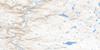
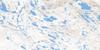
Maps for the Bathurst Inlet topo map sheet 076K16 at 1:50,000 scale are also available in these versions:
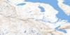
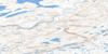
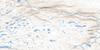
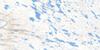
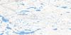
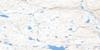
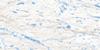
Bathurst Inlet Surrounding Area Topo Maps
 |
 |
 |
 |
 |
 |
 |
 |
 |
 |
 |
 |
 |
 |
 |
 |
© Department of Natural Resources Canada. All rights reserved.
Bathurst Inlet Gazetteer
The following places can be found on topographic map sheet 076K16 Bathurst Inlet:
Bathurst Inlet Topo Map: Bays
Bathurst InletBurnside Bay
Burnside Inlet
Portage Bay
Bathurst Inlet Topo Map: Falls
Burnside FallsBathurst Inlet Topo Map: Islands
Young IslandsBathurst Inlet Topo Map: Mountains
Bathurst RidgeBurnside Hills
Kringaun Hill
Wilberforce Hills
Bathurst Inlet Topo Map: Rivers
Burnside RiverBathurst Inlet Topo Map: Unincorporated areas
Bathurst Inlet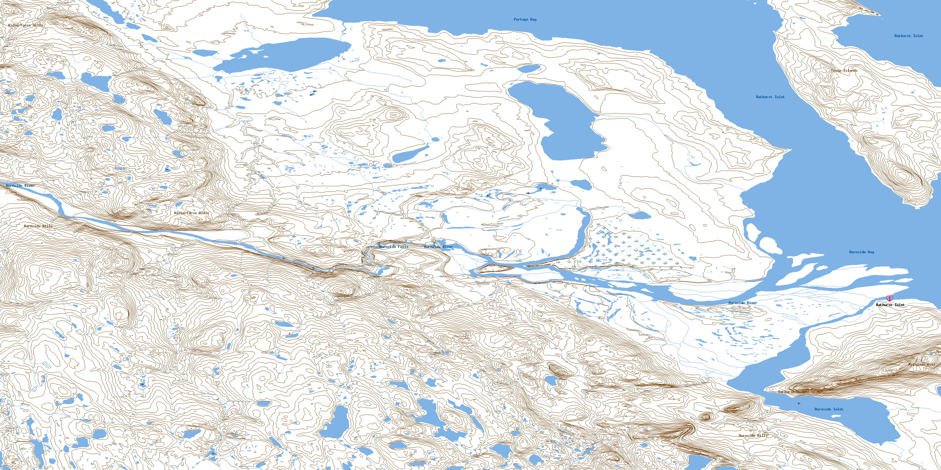
© Department of Natural Resources Canada. All rights reserved.
