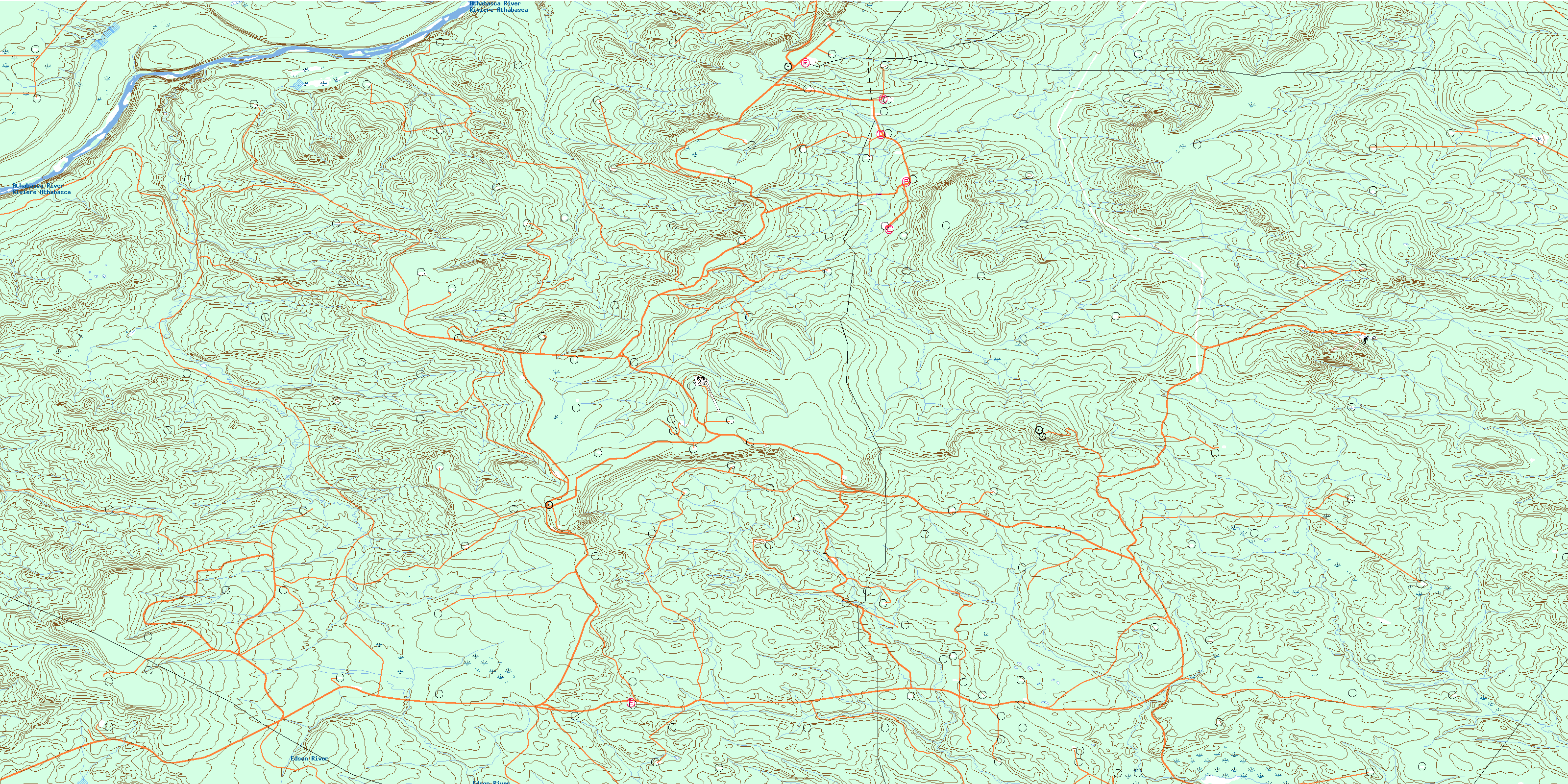
Nosehill Creek Topo Map Online
Download Free Topo Map Sheet 083F15 at 1:50,000 scale
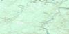
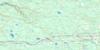
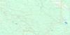
083F15 Nosehill Creek Topo Map
To view this map, mouse over the map preview on the right.
You can also download this topo map for free:
083F15 Nosehill Creek high-resolution topo map image.
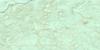
Maps for the Nosehill Creek topo map sheet 083F15 at 1:50,000 scale are also available in these versions:
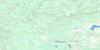
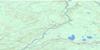
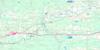
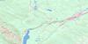
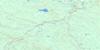
Nosehill Creek Surrounding Area Topo Maps
 |
 |
 |
 |
 |
 |
 |
 |
 |
 |
 |
 |
 |
 |
 |
 |
© Department of Natural Resources Canada. All rights reserved.
Nosehill Creek Gazetteer
The following places can be found on topographic map sheet 083F15 Nosehill Creek:
Nosehill Creek Topo Map: Major municipal/district area - major agglomerations
Municipal District of Greenview No. 16Municipal District of Woodlands No. 15
Municipal District of Yellowhead No. 94
Woodlands County
Yellowhead County
Nosehill Creek Topo Map: Rivers
Athabasca RiverAthabaska River
Beaver Creek
Edson River
Jackpine Creek
Nosehill Creek
Pine Creek
Rivière Athabasca
Windfall Creek
© Department of Natural Resources Canada. All rights reserved.
