Christmas Creek Topo Map Online
Download Free Topo Map Sheet 083J06 at 1:50,000 scale
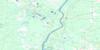
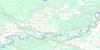
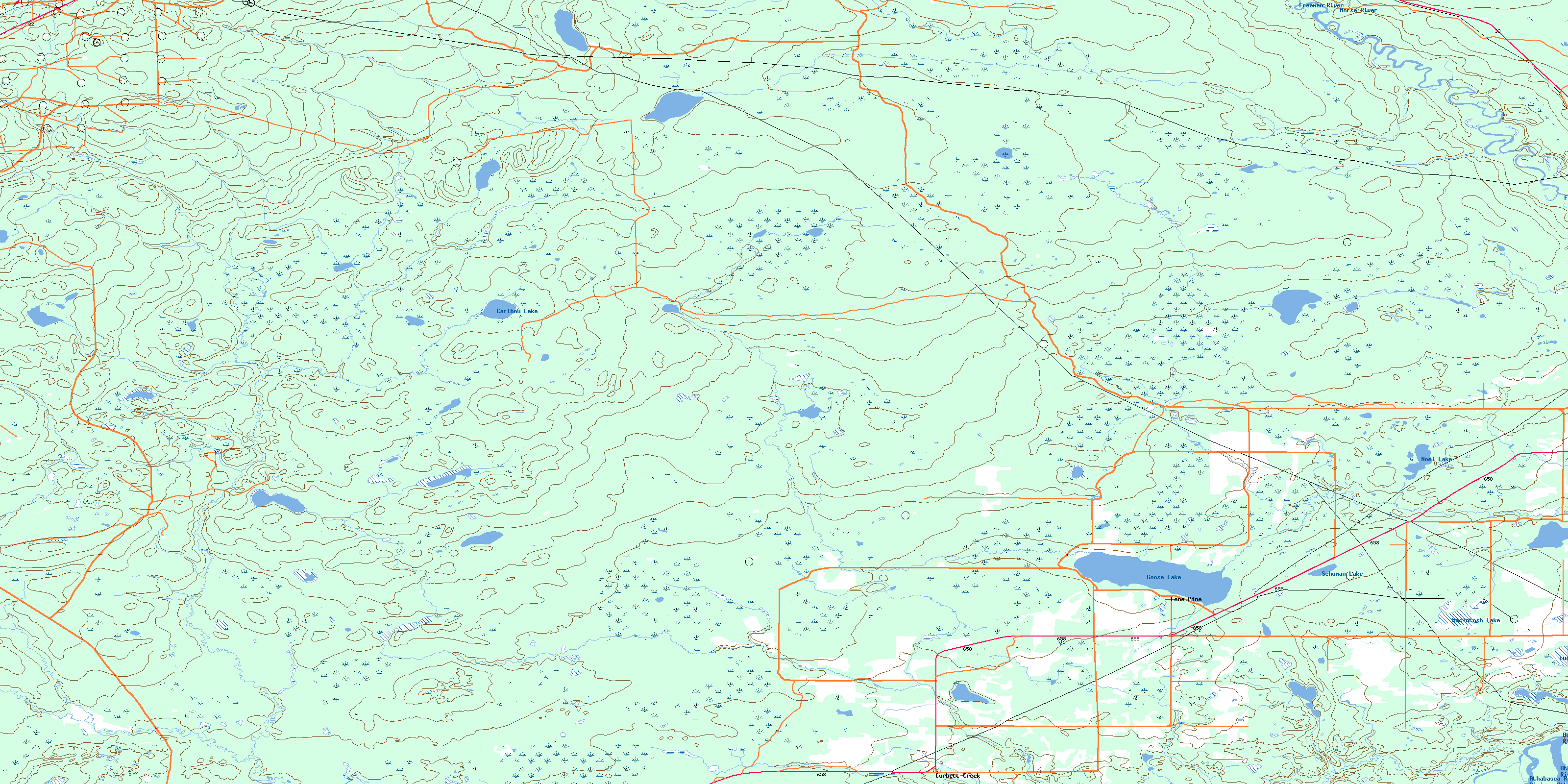
083J06 Christmas Creek Topo Map
To view this map, mouse over the map preview on the right.
You can also download this topo map for free:
083J06 Christmas Creek high-resolution topo map image.
Maps for the Christmas Creek topo map sheet 083J06 at 1:50,000 scale are also available in these versions:
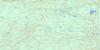
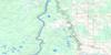
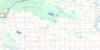
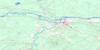
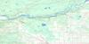
Christmas Creek Surrounding Area Topo Maps
 |
 |
 |
 |
 |
 |
 |
 |
 |
 |
 |
 |
 |
 |
 |
 |
© Department of Natural Resources Canada. All rights reserved.
Christmas Creek Gazetteer
The following places can be found on topographic map sheet 083J06 Christmas Creek:
Christmas Creek Topo Map: Lakes
Caribou LakeGoose Lake
Lucky Lake
MacIntosh Lake
Noel Lake
Schuman Lake
Christmas Creek Topo Map: Major municipal/district area - major agglomerations
Municipal District of Big Lakes No. 125Municipal District of Woodlands No. 15
Woodlands County
Christmas Creek Topo Map: Other municipal/district area - miscellaneous
Improvement District No. 15Christmas Creek Topo Map: Rivers
Athabasca RiverAthabaska River
Christmas Creek
Corbett Creek
Freeman River
Freemen River
Goose Creek
Judy Creek
Morse River
Rivière Athabasca
Weasone Creek
Christmas Creek Topo Map: Unincorporated areas
Corbett CreekLone Pine
© Department of Natural Resources Canada. All rights reserved.
083J Related Maps:
083J Whitecourt083J01 Barrhead
083J02 Thunder Lake
083J03 Green Court
083J04 Whitecourt
083J05 Carson Lake
083J06 Christmas Creek
083J07 Fort Assiniboine
083J08 Shoal Creek
083J09 Flatbush
083J10 Timeu Creek
083J11 Swan Hills
083J12 Swartz Lake
083J13 Wallace Mountain
083J14 Deer Mountain
083J15 Jessie Lake
083J16 Chisholm
