Zinto Lake Topo Map Online
Download Free Topo Map Sheet 086C01 at 1:50,000 scale
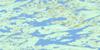
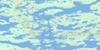
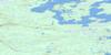
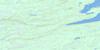
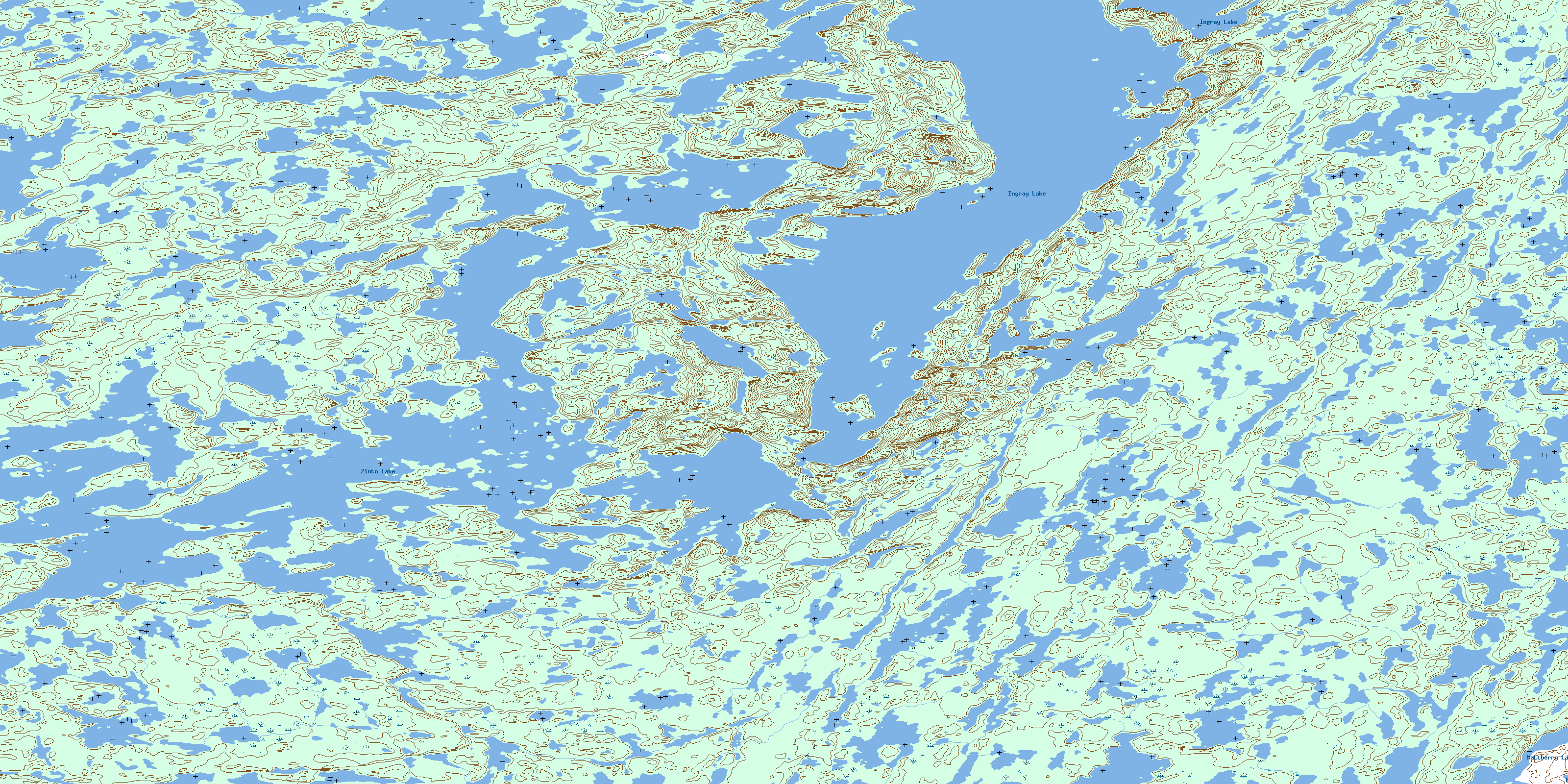
086C01 Zinto Lake Topo Map
To view this map, mouse over the map preview on the right.
You can also download this topo map for free:
086C01 Zinto Lake high-resolution topo map image.
Maps for the Zinto Lake topo map sheet 086C01 at 1:50,000 scale are also available in these versions:
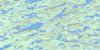
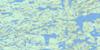
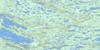
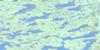
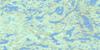
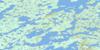
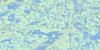
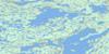
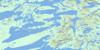
Zinto Lake Surrounding Area Topo Maps
 |
 |
 |
 |
 |
 |
 |
 |
 |
 |
 |
 |
 |
 |
 |
 |
© Department of Natural Resources Canada. All rights reserved.
Zinto Lake Gazetteer
The following places can be found on topographic map sheet 086C01 Zinto Lake:
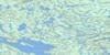
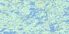
Zinto Lake Topo Map: Lakes
Ingray LakeMattberry Lake
Zinto Lake
© Department of Natural Resources Canada. All rights reserved.
086C Related Maps:
086C Hardisty Lake086C01 Zinto Lake
086C02 Koropchuk Lake
086C03 Rae Lake
086C04 Taka Lake
086C05 Bober Bay
086C06 Lac Ste Croix
086C07 Devries Lake
086C08 Ingray Lake
086C09 Rebesca Lake
086C10 Carle Lake
086C11 Devreker Lake
086C12 Macquade Island
086C13 Isabella Lake
086C14 No Title
086C15 No Title
086C16 Little Crapeau Lake
