Stein Lake Topo Map Online
Download Free Topo Map Sheet 092J01 at 1:50,000 scale
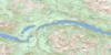
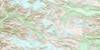
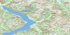
092J01 Stein Lake Topo Map
To view this map, mouse over the map preview on the right.
You can also download this topo map for free:
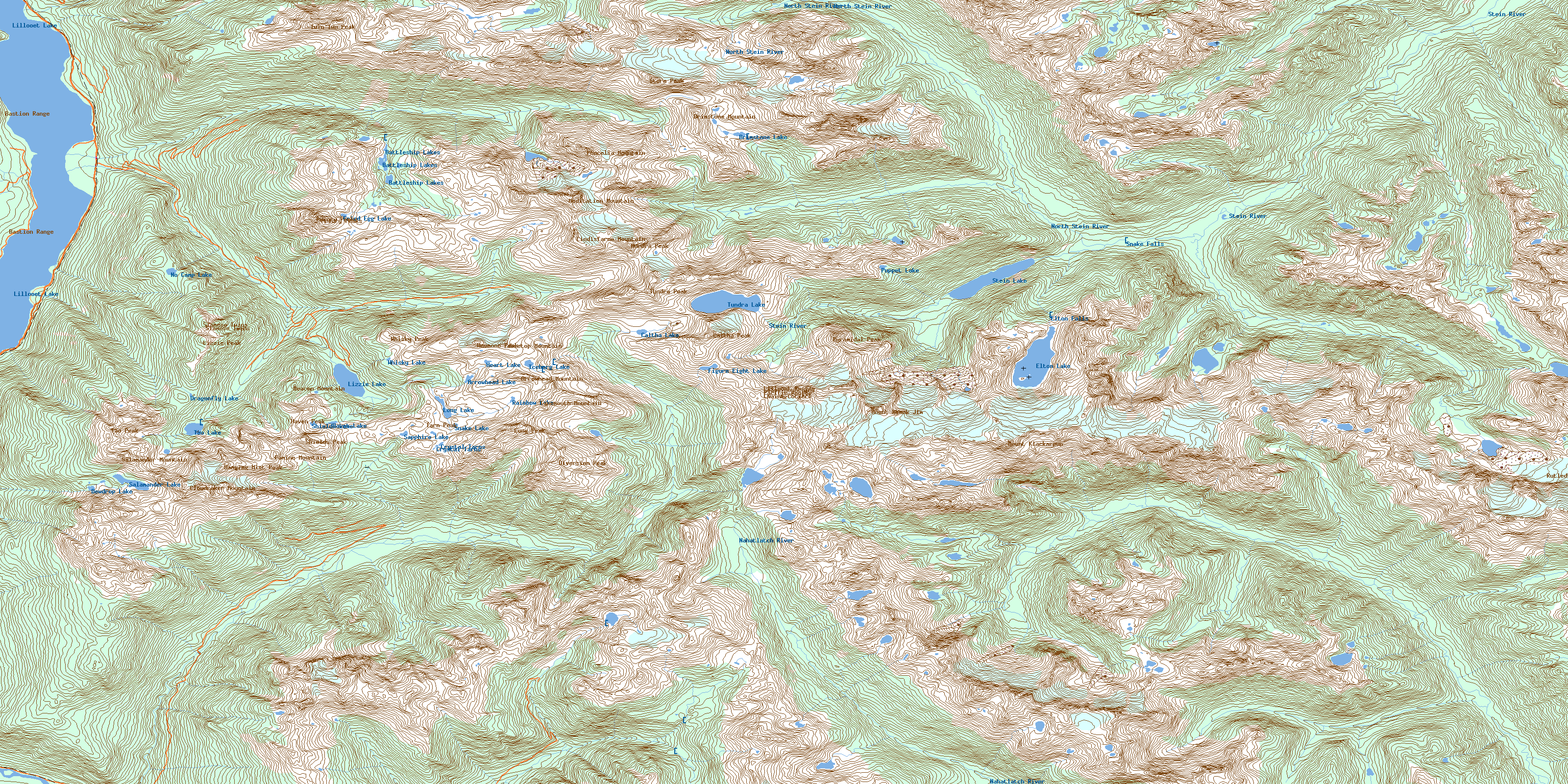
092J01 Stein Lake high-resolution topo map image.
Maps for the Stein Lake topo map sheet 092J01 at 1:50,000 scale are also available in these versions:
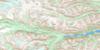
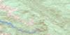
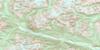
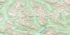
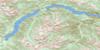
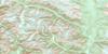
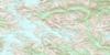
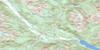
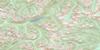
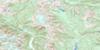
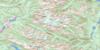
Stein Lake Surrounding Area Topo Maps
 |
 |
 |
 |
 |
 |
 |
 |
 |
 |
 |
 |
 |
 |
 |
 |
© Department of Natural Resources Canada. All rights reserved.
Stein Lake Gazetteer
The following places can be found on topographic map sheet 092J01 Stein Lake:
Stein Lake Topo Map: Cliffs
Crevasse CragStein Lake Topo Map: Falls
Elton FallsSnake Falls
Stein Lake Topo Map: Glaciers
Rutledge GlacierStein Lake Topo Map: Lakes
Arrowhead LakeBattleship Lakes
Brimstone Lake
Caltha Lake
Crystal Tarns
Dewdrop Lake
Dragonfly Lake
Elton Lake
Figure Eight Lake
Fried Egg Lake
Haven Lake
Heart Lake
Iceberg Lake
Lillooet Lake
Lizzie Lake
Long Lake
No Camp Lake
Puppet Lake
Rainbow Lake
Salamander Lake
Sapphire Lake
Shields Lake
Snake Lake
Stein Lake
Tao Lake
Tundra Lake
Whisky Lake
Stein Lake Topo Map: Mountains
Anemone PeakArrowhead Mountain
Aurora Peak
Bastion Range
Beacon Mountain
Bellavista Ridge
Brimstone Mountain
Caltha Peak
Chaîne Côtière
Cloudraker Mountain
Coast Mountains
Diversion Peak
Famine Mountain
Famine Ridge
Hanging Mist Peak
Haven Peak
Intern Ridge
Lillooet Ranges
Lindisfarne Mountain
Lizzie Peak
Long Peak
Meadow Dome
Meditation Mountain
Mount Klackarpun
Mount Skook Jim
Pacific Ranges
Phacelia Mountain
Priory Peaks
Pyramidal Peak
Salamander Mountain
Shields Peak
Siamese Twins
Storm Peak
Tabletop Mountain
Tao Peak
Tarn Peak
Tundra Peak
Twin Two Peak
Tynemouth Mountain
Whisky Peak
White Lupine Ridge
Wild Onion Ridge
Stein Lake Topo Map: Major municipal/district area - major agglomerations
Fraser Valley Regional DistrictRegional District of Fraser-Cheam
Stein Lake Topo Map: Conservation areas
Mehatl Creek ParkStein Valley Nlaka'pamux Heritage Park
Stein Lake Topo Map: Plains
Raven FlatsStein Lake Topo Map: Rivers
Allenby CreekElton Creek
Gowan Creek
Lillooet River
Lizzie Creek
Mehatl Creek
Nahatlatch River
North Mehatl Creek
North Stein River
Roger Creek
Rogers Creek
Rutledge Creek
Stein River
Twin One Creek
Twin Two Creek
Van Horlick Creek
Stein Lake Topo Map: Valleys
Cherry Pip PassMoraine Pass
© Department of Natural Resources Canada. All rights reserved.
092J Related Maps:
092J Pemberton092J01 Stein Lake
092J02 Whistler
092J03 Brandywine Falls
092J04 Princes Louisa Inlet
092J05 Clendenning Creek
092J06 Ryan River
092J07 Pemberton
092J08 Duffey Lake
092J09 Shalalth
092J10 Birkenhead Lake
092J11 North Creek
092J12 Mount Dalgleish
092J13 Stanley Smith Glacier
092J14 Dickson Range
092J15 Bralorne
092J16 Bridge River
