Hanceville Topo Map Online
Download Free Topo Map Sheet 092O14 at 1:50,000 scale
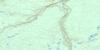
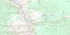
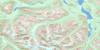
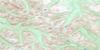
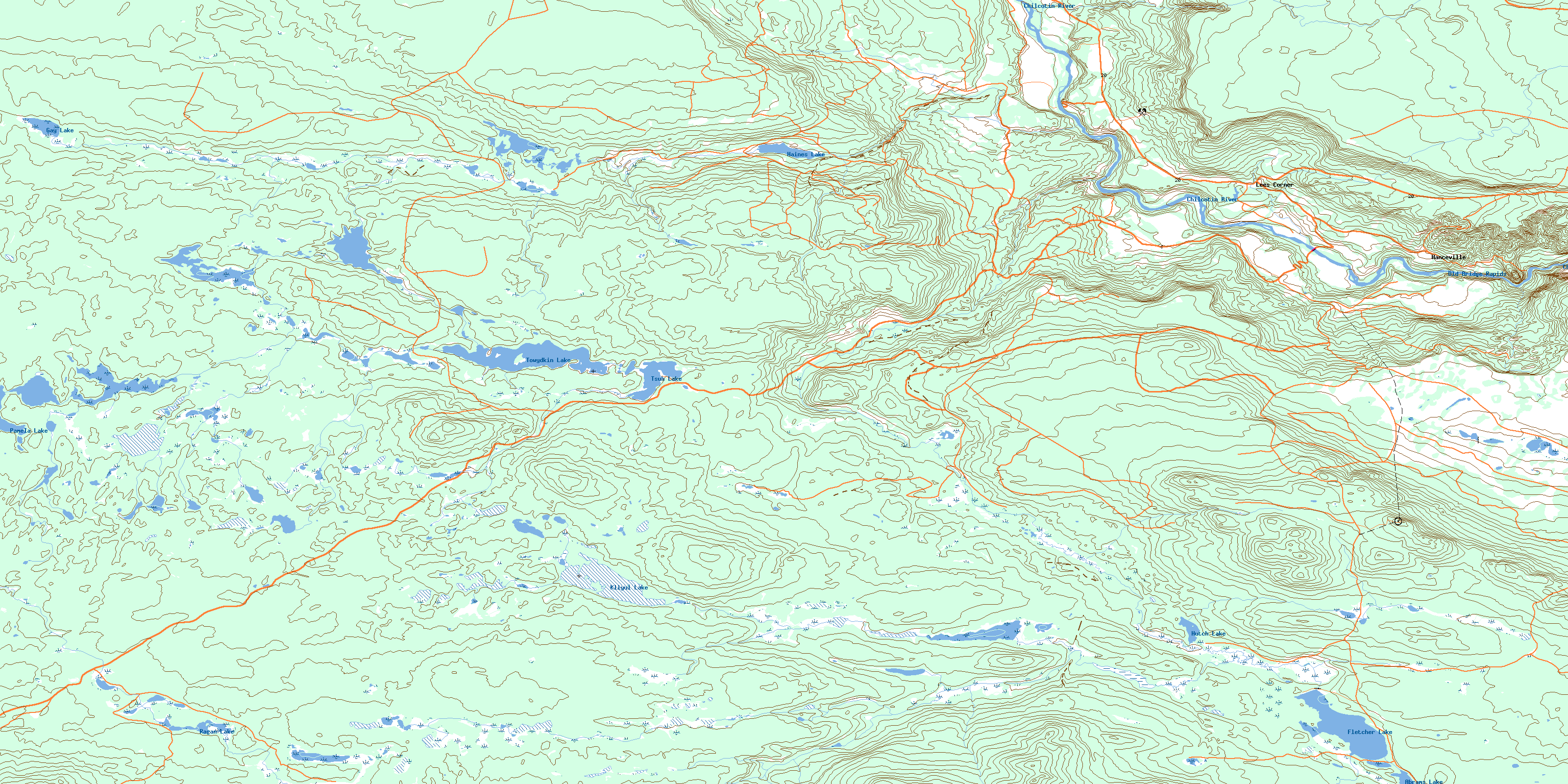
092O14 Hanceville Topo Map
To view this map, mouse over the map preview on the right.
You can also download this topo map for free:
092O14 Hanceville high-resolution topo map image.
Maps for the Hanceville topo map sheet 092O14 at 1:50,000 scale are also available in these versions:
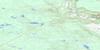
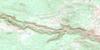
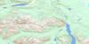
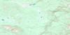
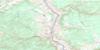
Hanceville Surrounding Area Topo Maps
 |
 |
 |
 |
 |
 |
 |
 |
 |
 |
 |
 |
 |
 |
 |
 |
© Department of Natural Resources Canada. All rights reserved.
Hanceville Gazetteer
The following places can be found on topographic map sheet 092O14 Hanceville:
Hanceville Topo Map: Indian Reserves
Anahim's Flat Indian Reserve 1Brigham Creek Indian Reserve 3
Réserve indienne Anahim's Flat 1
Réserve indienne Brigham Creek 3
Réserve indienne Saddle Horse 2
Réserve indienne Stone 1
Réserve indienne Stone 1A
Réserve indienne Stone 4
Saddle Horse Indian Reserve 2
Stone Indian Reserve 1
Stone Indian Reserve 1A
Stone Indian Reserve 4
Hanceville Topo Map: Lakes
Abrams LakeFletcher Lake
Gay Lake
Haines Lake
Hutch Lake
Kliyul Lake
Pamela Lake
Ragan Lake
Towydkin Lake
Tsuh Lake
Hanceville Topo Map: Major municipal/district area - major agglomerations
Cariboo Regional DistrictHanceville Topo Map: Plains
Fraser PlateauInterior Plateau
Hanceville Topo Map: Rapids
Old Bridge RapidsHanceville Topo Map: Rivers
Chilko RiverDeer Creek
Haines Creek
McDermott Creek
Minton Creek
Schultz Creek
Zenzaco Creek
Hanceville Topo Map: Unincorporated areas
HancevilleHanceville
Lees Corner
Hanceville Topo Map: Valleys
Hanceville CanyonStoney Canyon
© Department of Natural Resources Canada. All rights reserved.
092O Related Maps:
092O Taseko Lakes092O01 Big Bar Creek
092O02 Noaxe Creek
092O03 Warner Pass
092O04 Tchaikazan River
092O05 Mount Tatlow
092O06 Anvil Mountain
092O07 Churn Creek
092O08 Empire Valley
092O09 Dog Creek
092O10 Mount Alex
092O11 Bambrick Creek
092O12 Elkin Creek
092O13 Scum Lake
092O14 Hanceville
092O15 Riske Creek
092O16 Alkali Lake
