Williams Lake Topo Map Online
Download Free Topo Map Sheet 093B01 at 1:50,000 scale
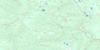
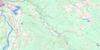
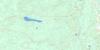
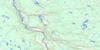
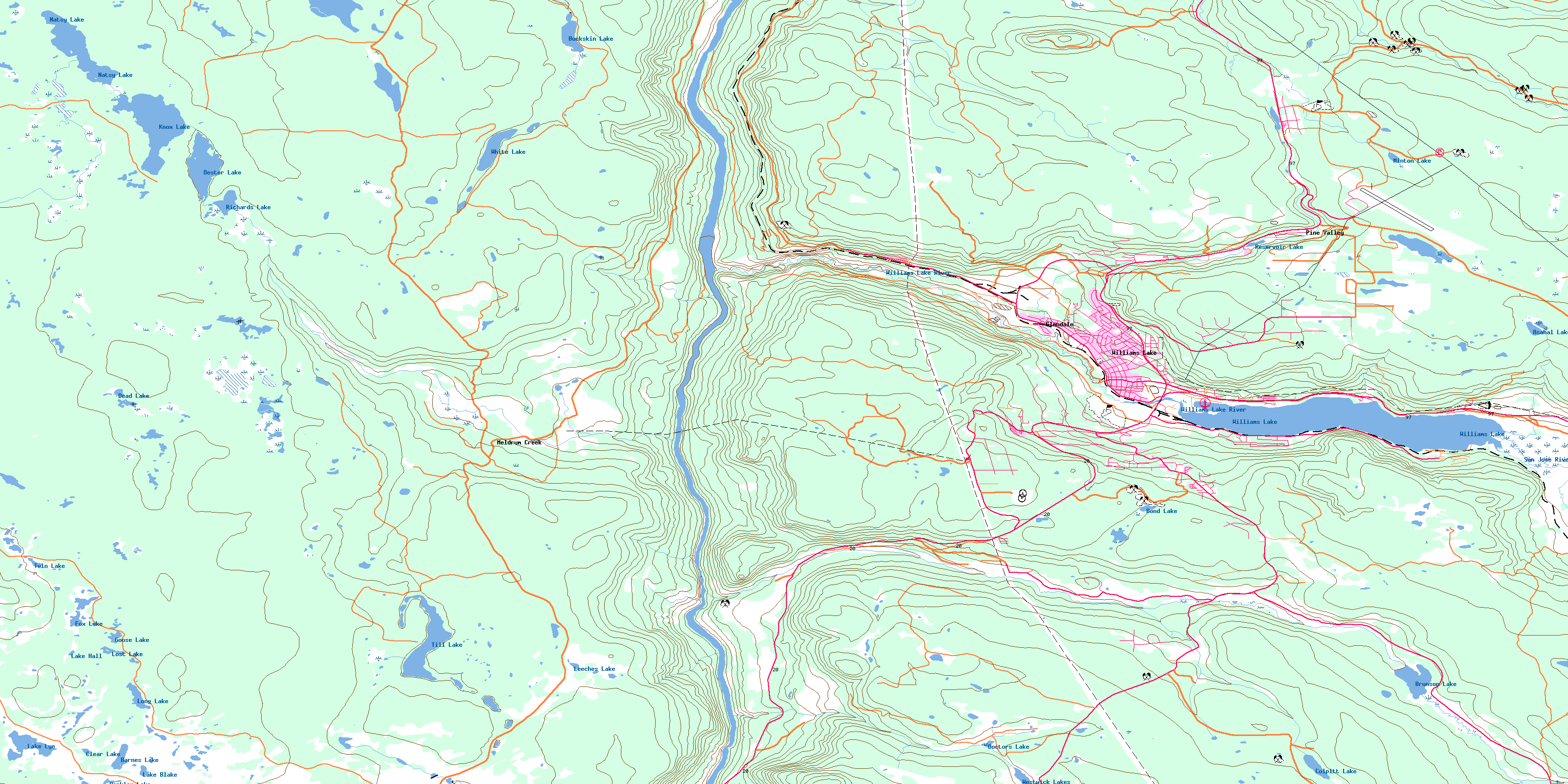
093B01 Williams Lake Topo Map
To view this map, mouse over the map preview on the right.
You can also download this topo map for free:
093B01 Williams Lake high-resolution topo map image.
Maps for the Williams Lake topo map sheet 093B01 at 1:50,000 scale are also available in these versions:
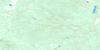
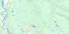
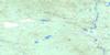
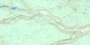
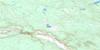
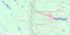
Williams Lake Surrounding Area Topo Maps
 |
 |
 |
 |
 |
 |
 |
 |
 |
 |
 |
 |
 |
 |
 |
 |
© Department of Natural Resources Canada. All rights reserved.
Williams Lake Gazetteer
The following places can be found on topographic map sheet 093B01 Williams Lake:
Williams Lake Topo Map: City
Williams LakeWilliams Lake Topo Map: Indian Reserves
Asahal Lake Indian Reserve 2Chimney Creek Indian Reserve 5
Deep Creek Indian Reserve 2
Réserve indienne Asahal Lake 2
Réserve indienne Chimney Creek 5
Réserve indienne Deep Creek 2
Réserve indienne San Jose 6
Réserve indienne Tillion 4
Réserve indienne Williams Lake 1
San Jose Indian Reserve 6
Tillion Indian Reserve 4
Williams Lake Indian Reserve 1
Williams Lake Topo Map: Lakes
Asahal LakeBarkley Lake
Barnes Lake
Bond Lake
Brunson Lake
Buckskin Lake
Clear Lake
Colpitt Lake
Dead Lake
Dester Lake
Doctors Lake
Fox Lake
Goose Lake
Knox Lake
Lake Blake
Lake Hall
Lake Lye
Leeches Lake
Long Lake
Lost Lake
Minton Lake
Natsy Lake
Reservoir Lake
Richards Lake
Sapper Lake
Till Lake
Twin Lake
Westwick Lake
Westwick Lakes
White Lake
Williams Lake
Williams Lake Topo Map: Military areas
Champ de manoeuvre ChilcotinChilcotin Training Area
Williams Lake Topo Map: Mountains
Buxton HillFox Mountain
Williams Lake Topo Map: Major municipal/district area - major agglomerations
Cariboo Regional DistrictWilliams Lake Topo Map: Plains
Fraser PlateauInterior Plateau
Williams Lake Topo Map: Rivers
Asahal CreekBuckskin Creek
Chimney Creek
Comer Creek
Cureven Creek
Fraser River
Frost Creek
Johnny Creek
Meldrum Creek
Mikkelsen Creek
Minton Creek
Missioner Creek
North Fork Whiskey Creek
Pablo Creek
Richards Creek
San Jose River
South Hawks Creek
Sword Creek
Weetman Creek
West Minton Creek
Whiskey Creek
Williams Lake River
Williams Lake Topo Map: Unincorporated areas
ComerCommodore Heights
Dog Creek
Esler
Glendale
Meldrum
Meldrum Creek
Norlake
Pine Valley
South Lakeside
South Williams Lake
South Yard
Williams Lake Topo Map: Valleys
Fraser BasinStack Valley
© Department of Natural Resources Canada. All rights reserved.
093B Related Maps:
093B Quesnel093B01 Williams Lake
093B02 Drummond Lake
093B03 Alexis Creek
093B04 Redstone
093B05 Loomis Lake
093B06 Stum Lake
093B07 Twan Lake
093B08 Soda Creek
093B09 Alexandria
093B10 Narcosli Creek
093B11 Tautri Creek
093B12 Clisbako River
093B13 Marmot Lake
093B14 Long John Creek
093B15 Baker Creek
093B16 Quesnel River
