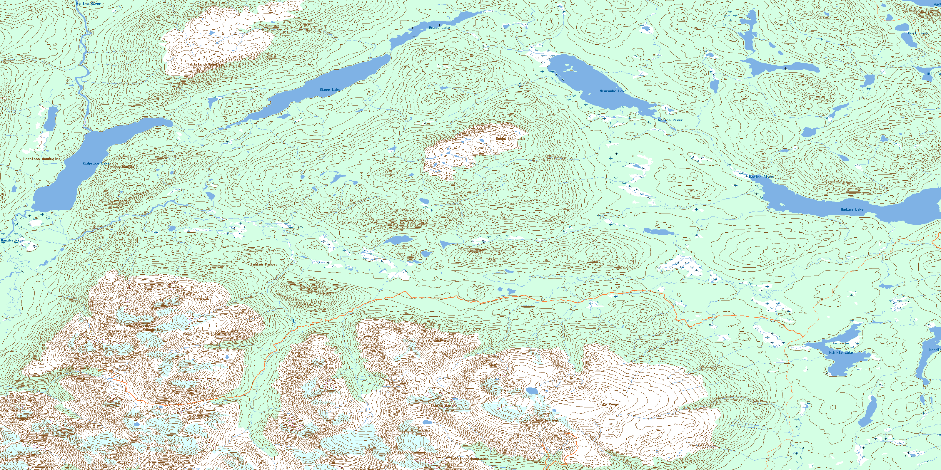
Newcombe Lake Topo Map Online
Download Free Topo Map Sheet 093E14 at 1:50,000 scale
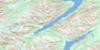
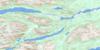
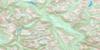
093E14 Newcombe Lake Topo Map
To view this map, mouse over the map preview on the right.
You can also download this topo map for free:
093E14 Newcombe Lake high-resolution topo map image.
Maps for the Newcombe Lake topo map sheet 093E14 at 1:50,000 scale are also available in these versions:
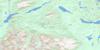
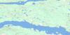
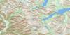
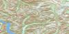
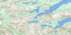
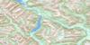
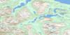
Newcombe Lake Surrounding Area Topo Maps
 |
 |
 |
 |
 |
 |
 |
 |
 |
 |
 |
 |
 |
 |
 |
 |
© Department of Natural Resources Canada. All rights reserved.
Newcombe Lake Gazetteer
The following places can be found on topographic map sheet 093E14 Newcombe Lake:
Newcombe Lake Topo Map: Lakes
Anzac LakeDuel Lakes
Hill-Tout Lake
Kidprice Lake
Nadina Lake
Needle Lake
Newcombe Lake
Star Lake
Stepp Lake
Tagetochlain Lake
Twinkle Lake
Newcombe Lake Topo Map: Mountains
Hazelton MountainsMount Ney
Mount Sweeney
Sibola Mountains
Sibola Peak
Sibola Range
Smoke Mountain
Tableland Mountain
Tahtsa Ranges
Newcombe Lake Topo Map: Major municipal/district area - major agglomerations
Regional District of Bulkley-NechakoNewcombe Lake Topo Map: Plains
Interior PlateauNechako Plateau
Newcombe Lake Topo Map: Rivers
Bergeland CreekComb Creek
Nadina River
Nanika River
Sibola Creek
Stepp Creek
Tahtsa River
Whiting Creek
© Department of Natural Resources Canada. All rights reserved.
093E Related Maps:
093E Whitesail Lake093E01 Oppy Lake
093E02 Tesla Lake
093E03 Foresight Mountain
093E04 Kitlope Lake
093E05 Tsaytis River
093E06 Chikamin Mountain
093E07 St Thomas River
093E08 Tlutlias Creek
093E09 Ghitezli Lake
093E10 Whitesail Reach
093E11 Troitsa Lake
093E12 Tahtsa Peak
093E13 Nanika Lake
093E14 Newcombe Lake
093E15 Nadina River
093E16 Wistaria
