Troitsa Lake Topo Map Online
Download Free Topo Map Sheet 093E11 at 1:50,000 scale
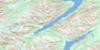
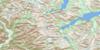
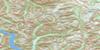
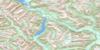
093E11 Troitsa Lake Topo Map
To view this map, mouse over the map preview on the right.
You can also download this topo map for free:
093E11 Troitsa Lake high-resolution topo map image.
Maps for the Troitsa Lake topo map sheet 093E11 at 1:50,000 scale are also available in these versions:
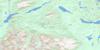
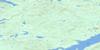
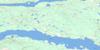
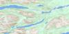
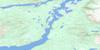
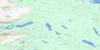
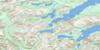
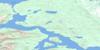
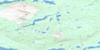
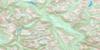
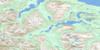
Troitsa Lake Surrounding Area Topo Maps
 |
 |
 |
 |
 |
 |
 |
 |
 |
 |
 |
 |
 |
 |
 |
 |
© Department of Natural Resources Canada. All rights reserved.
Troitsa Lake Gazetteer
The following places can be found on topographic map sheet 093E11 Troitsa Lake:
Troitsa Lake Topo Map: Capes
Cummins PointTroitsa Lake Topo Map: Cliffs
Rhine CragTroitsa Lake Topo Map: Lakes
Blanket LakesNechako Reservoir
Seel Lake
Sweeney Lake
Tahtsa Lake
Troitsa Lake
Whitesail Lake
Troitsa Lake Topo Map: Mountains
Chaîne CôtièreCoast Mountains
Hazelton Mountains
Huckleberry Mountain
Kasalka Butte
Kasalka Mountains
Kasalka Range
Kitimat Ranges
Laventie Mountain
Mount Baptiste
Mount Bolom
Mount Carl Borden
Rhine Ridge
Sibola Mountains
Sibola Range
Swing Peak
Tahtsa Ranges
Troitsa Peak
Whitesail Range
Troitsa Lake Topo Map: Major municipal/district area - major agglomerations
Regional District of Bulkley-NechakoRegional District of Kitimat-Stikine
Troitsa Lake Topo Map: Rivers
Coles CreekComb Creek
Cummins Creek
Kasalka Creek
Rhine Creek
Sibola Creek
Tahtsa River
Troitsa Creek
Whiting Creek
Troitsa Lake Topo Map: River features
Tahtsa Reach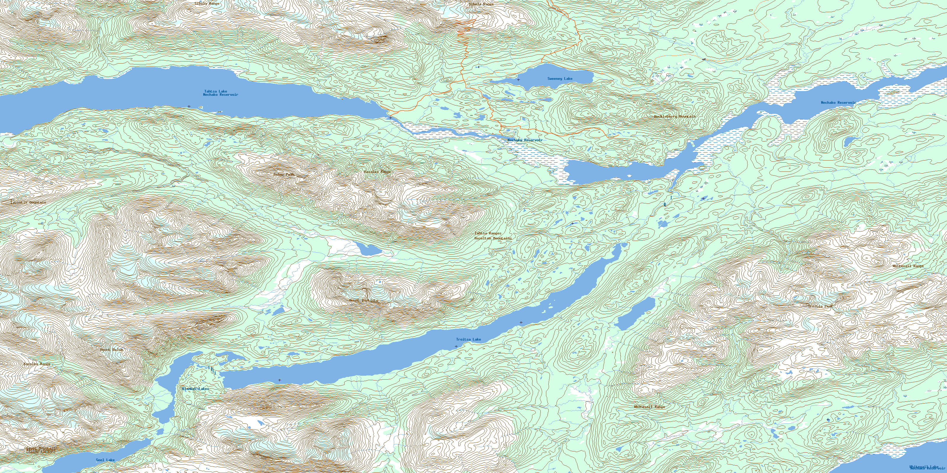
© Department of Natural Resources Canada. All rights reserved.
093E Related Maps:
093E Whitesail Lake093E01 Oppy Lake
093E02 Tesla Lake
093E03 Foresight Mountain
093E04 Kitlope Lake
093E05 Tsaytis River
093E06 Chikamin Mountain
093E07 St Thomas River
093E08 Tlutlias Creek
093E09 Ghitezli Lake
093E10 Whitesail Reach
093E11 Troitsa Lake
093E12 Tahtsa Peak
093E13 Nanika Lake
093E14 Newcombe Lake
093E15 Nadina River
093E16 Wistaria
