Spectacle Lakes Topo Map Online
Download Free Topo Map Sheet 093H03 at 1:50,000 scale
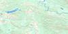
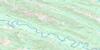
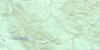
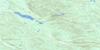
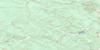
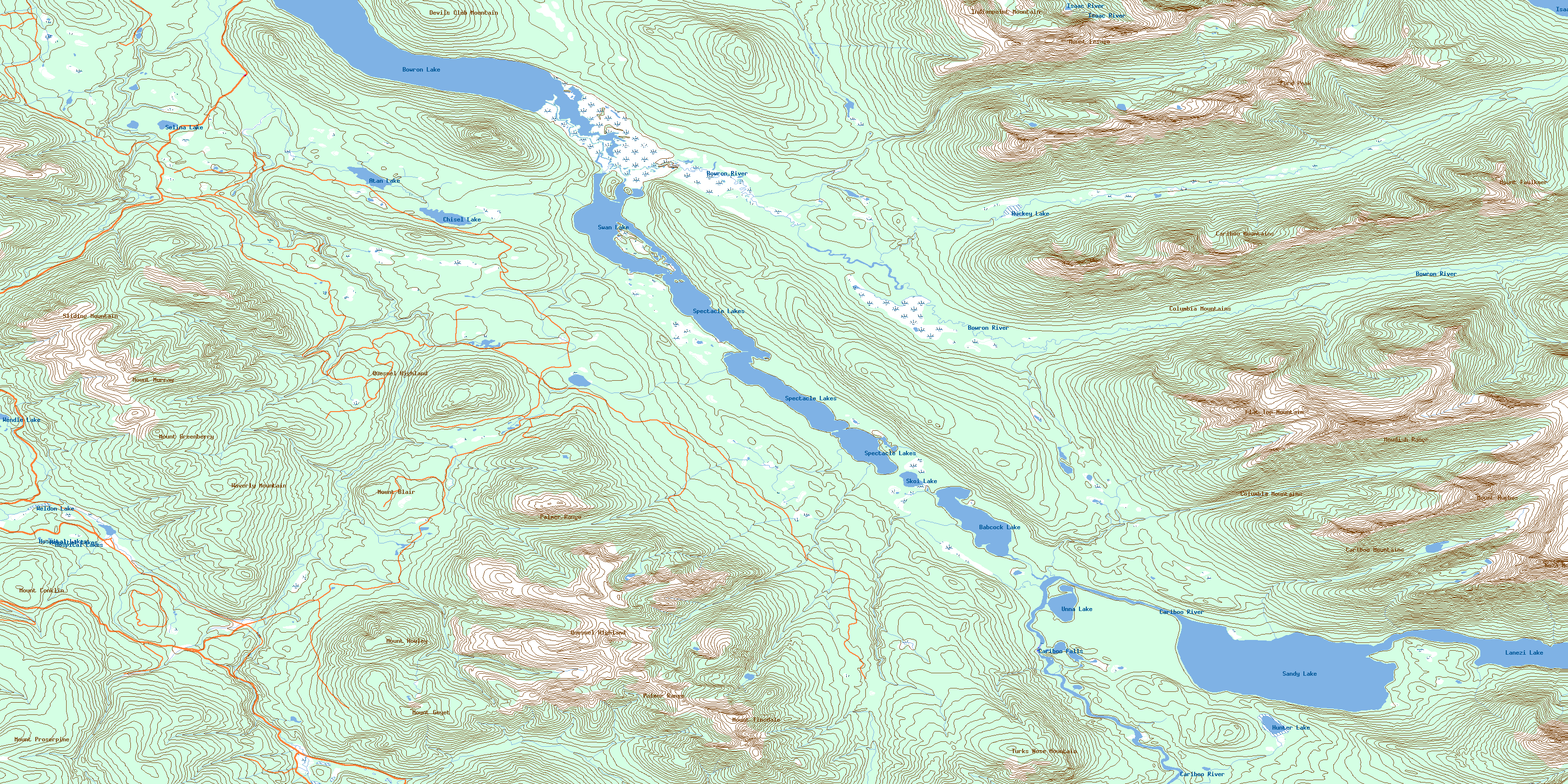
093H03 Spectacle Lakes Topo Map
To view this map, mouse over the map preview on the right.
You can also download this topo map for free:
093H03 Spectacle Lakes high-resolution topo map image.
Maps for the Spectacle Lakes topo map sheet 093H03 at 1:50,000 scale are also available in these versions:
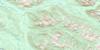
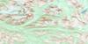
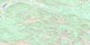
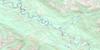
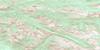
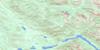
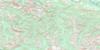
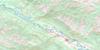
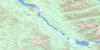
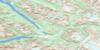
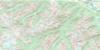
Spectacle Lakes Surrounding Area Topo Maps
 |
 |
 |
 |
 |
 |
 |
 |
 |
 |
 |
 |
 |
 |
 |
 |
© Department of Natural Resources Canada. All rights reserved.
Spectacle Lakes Gazetteer
The following places can be found on topographic map sheet 093H03 Spectacle Lakes:
Spectacle Lakes Topo Map: Capes
Pat PointSpectacle Lakes Topo Map: Falls
Cariboo FallsSpectacle Lakes Topo Map: Islands
Pavich IslandSpectacle Lakes Topo Map: Lakes
Angels LakeAtan Lake
Babcock Lake
Bonner Lake
Bowron Lake
Chisel Lake
Hospital Lakes
Huckey Lake
Hunter Lake
Isaac Lake
Lanezi Lake
Rum Lake
Sandy Lake
Selina Lake
Skoi Lake
Spectacle Lakes
Swan Lake
Unna Lake
Weldon Lake
Wendle Lake
Spectacle Lakes Topo Map: Mountains
Blare MountainCariboo Mountains
Columbia Mountains
Devils Club Mountain
Flat Top Mountain
Ford Peak
Guyet Mountain
Iltzul Ridge
Indianpoint Mountain
Kaza Mountain
McCabe Ridge
McLeod Ridge
Mount Blair
Mount Conklin
Mount Faulkner
Mount Greenberry
Mount Guyet
Mount Howley
Mount Hughes
Mount Lesage
Mount Murray
Mount Patchett
Mount Proserpine
Mount Tinsdale
Mowdish Group
Mowdish Range
Needle Point Mountain
Needle Point Ridge
Palmer Mountains
Palmer Range
Quesnel Highland
Sliding Mountain
Tediko Peaks
Tediko Ridge
Turks Nose Mountain
Waverly Mountain
Spectacle Lakes Topo Map: Major municipal/district area - major agglomerations
Cariboo Regional DistrictSpectacle Lakes Topo Map: Conservation areas
Barkerville Historic ParkBarkerville Historic Town
Barkerville Park
Bowron Lake Park
Wendle Park
Spectacle Lakes Topo Map: Plains
Fraser PlateauInterior Plateau
Whisky Flat
Spectacle Lakes Topo Map: Rivers
Alex Allan CreekAntler Creek
Babcock Creek
Bowron River
Camden Creek
Canadian Creek
Cariboo River
Cunningham Pass Creek
de Witte Reed Creek
Downie Creek
Empire Creek
First Chance Creek
French Creek
Greenberry Creek
Grouse Creek
Guyet Creek
Harold Creek
Huckey Creek
Isaac River
Jubilee Creek
Little Valley Creek
Loskey Creek
Marks Creek
Maude Creek
McCabe Creek
McKenna Creek
McKinnon Creek
Monkton Creek
Murray Creek
Pleasant Valley Creek
Pomeroy Creek
Russian Creek
Siberia Creek
Sisters Creek
St. Lawrence Creek
Summit Creek
Sus Creek
Tinsdale Creek
Two Sisters Creek
Valley Creek
West Creek
Wolf Creek
Wolfe Creek
Yellowhawk Creek
Spectacle Lakes Topo Map: River features
Bowron SloughSpectacle Lakes Topo Map: Valleys
Beggs GulchCalifornia Gulch
Conklin Gulch
Cunningham Pass
Hobo Gulch
McCallum Gulch
Quartz Gulch
Shy Robin Gulch
Stevens Gulch
© Department of Natural Resources Canada. All rights reserved.
093H Related Maps:
093H Mcbride093H01 Eddy
093H02 Lanezi Lake
093H03 Spectacle Lakes
093H04 Wells
093H05 Stony Lake
093H06 Indianpoint Lake
093H07 Goat River
093H08 Mcbride
093H09 Mount Rider
093H10 Loos
093H11 Dome Creek
093H12 Narrow Lake
093H13 Hutton
093H14 Penny
093H15 Walker Creek
093H16 Mount Sir Alexander
