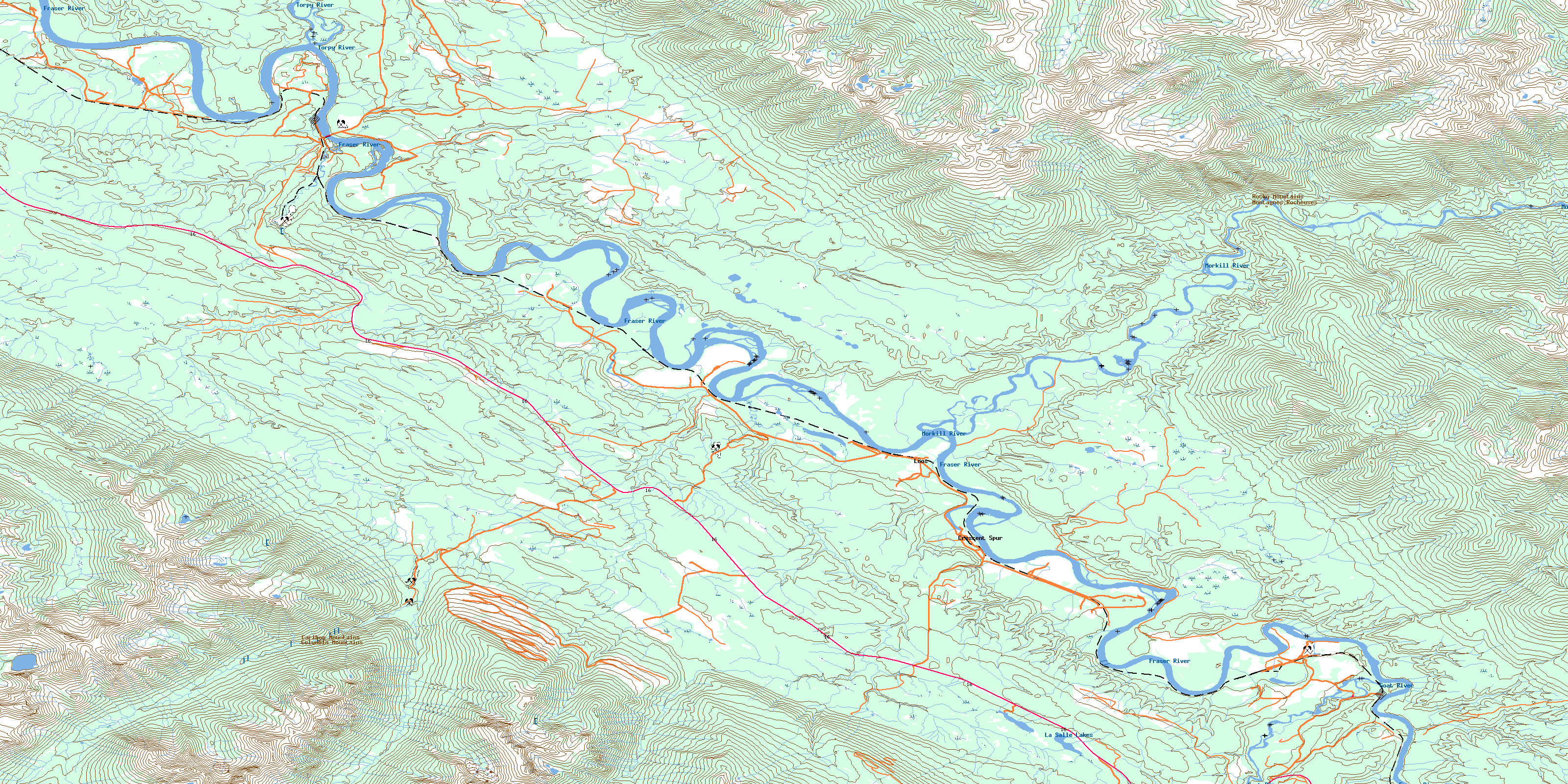
Loos Topo Map Online
Download Free Topo Map Sheet 093H10 at 1:50,000 scale
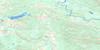
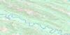
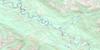
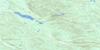
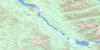
093H10 Loos Topo Map
To view this map, mouse over the map preview on the right.
You can also download this topo map for free:
093H10 Loos high-resolution topo map image.
Maps for the Loos topo map sheet 093H10 at 1:50,000 scale are also available in these versions:
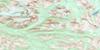
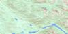
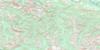
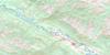
Loos Surrounding Area Topo Maps
 |
 |
 |
 |
 |
 |
 |
 |
 |
 |
 |
 |
 |
 |
 |
 |
© Department of Natural Resources Canada. All rights reserved.
Loos Gazetteer
The following places can be found on topographic map sheet 093H10 Loos:
Loos Topo Map: Islands
Goose IslandLoos Topo Map: Lakes
La Salle LakesOog Lake
Loos Topo Map: Mountains
Cariboo MountainsColumbia Mountains
Montagnes Rocheuses
Oog Mountain
Park Ranges
Rocky Mountains
Zig Zag Ridge
Loos Topo Map: Major municipal/district area - major agglomerations
Regional District of Fraser-Fort GeorgeLoos Topo Map: Conservation areas
Erg Mountain ParkLoos Topo Map: Rapids
Goat River RapidsLoos Topo Map: Rivers
Catfish CreekCrooked Creek
Fraser River
Fyfe Creek
Goat River
Hellroaring Creek
Humbug Creek
La Salle Creek
Laselle Creek
Mackenzie Creek
Morkill River
Oog Creek
P.O.B. Creek
Ptarmigan Creek
Shiko Creek
Snowshoe Creek
Torpy River
Walker Creek
Loos Topo Map: River features
The Big EddyLoos Topo Map: Unincorporated areas
Crescent SpurGoat River
Kidd
Loos
Urling
Loos Topo Map: Valleys
Robson ValleyRocky Mountain Trench
© Department of Natural Resources Canada. All rights reserved.
093H Related Maps:
093H Mcbride093H01 Eddy
093H02 Lanezi Lake
093H03 Spectacle Lakes
093H04 Wells
093H05 Stony Lake
093H06 Indianpoint Lake
093H07 Goat River
093H08 Mcbride
093H09 Mount Rider
093H10 Loos
093H11 Dome Creek
093H12 Narrow Lake
093H13 Hutton
093H14 Penny
093H15 Walker Creek
093H16 Mount Sir Alexander
