Saxton Lake Topo Map Online
Download Free Topo Map Sheet 093J03 at 1:50,000 scale
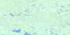
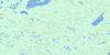
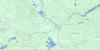
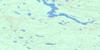
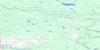
093J03 Saxton Lake Topo Map
To view this map, mouse over the map preview on the right.
You can also download this topo map for free:
093J03 Saxton Lake high-resolution topo map image.
Maps for the Saxton Lake topo map sheet 093J03 at 1:50,000 scale are also available in these versions:
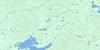
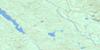
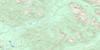
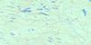
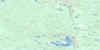
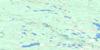
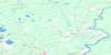
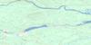
Saxton Lake Surrounding Area Topo Maps
 |
 |
 |
 |
 |
 |
 |
 |
 |
 |
 |
 |
 |
 |
 |
 |
© Department of Natural Resources Canada. All rights reserved.
Saxton Lake Gazetteer
The following places can be found on topographic map sheet 093J03 Saxton Lake:
Saxton Lake Topo Map: Lakes
Bolarn LakeBoquist Lake
Bow Lake
Brûlé Lake
Butterfly Lake
Byers Lake
Camp Lake
Chief Lake
Circle Lake
Clauminchil Lake
Clover Lake
Crescent Lake
Darby Lake
Docs Lake
Edna Lake
Eena Lake
Erickson Lake
Fire Lake
Flat Lake
Germaine Lake
Green Timber Lake
Heron Lake
Hidden Lake
Hoodoo Lake
Hoodoo Lakes
Kathie Lake
Kaykay Lake
Little Murch Lake
Loup Garou Lake
Meadow Lake
Mollie Lake
Murch Lake
Murtle Lake
Mytting Lake
Ness Lake
Nicholl Lake
Nukko Lake
Obert Lake
Ring Lake
Saxton Lake
Seaman Lake
Shamrock Lake
Shell Lake
Spence Lake
Steele Lake
Sylvan Lake
Taginchil Lake
Upper Clauminchil Lake
Verdant Lake
Vivian Lake
Windsor Lake
Saxton Lake Topo Map: Major municipal/district area - major agglomerations
Regional District of Bulkley-NechakoRegional District of Fraser-Fort George
Saxton Lake Topo Map: Conservation areas
Eskers ParkNess Lake Park
Saxton Lake Topo Map: Plains
Interior PlateauNechako Plateau
Saxton Lake Topo Map: Rivers
Chinohchey CreekCrocker Creek
Docs Creek
Gravel Creek
Hoodoo Creek
Mandalay Creek
Nechako River
Nukko Creek
Salmon River
Saxton Creek
Shell Creek
Stuart River
Taginchil Creek
West Creek
Youngs Creek
Saxton Lake Topo Map: Unincorporated areas
Sylvan Glade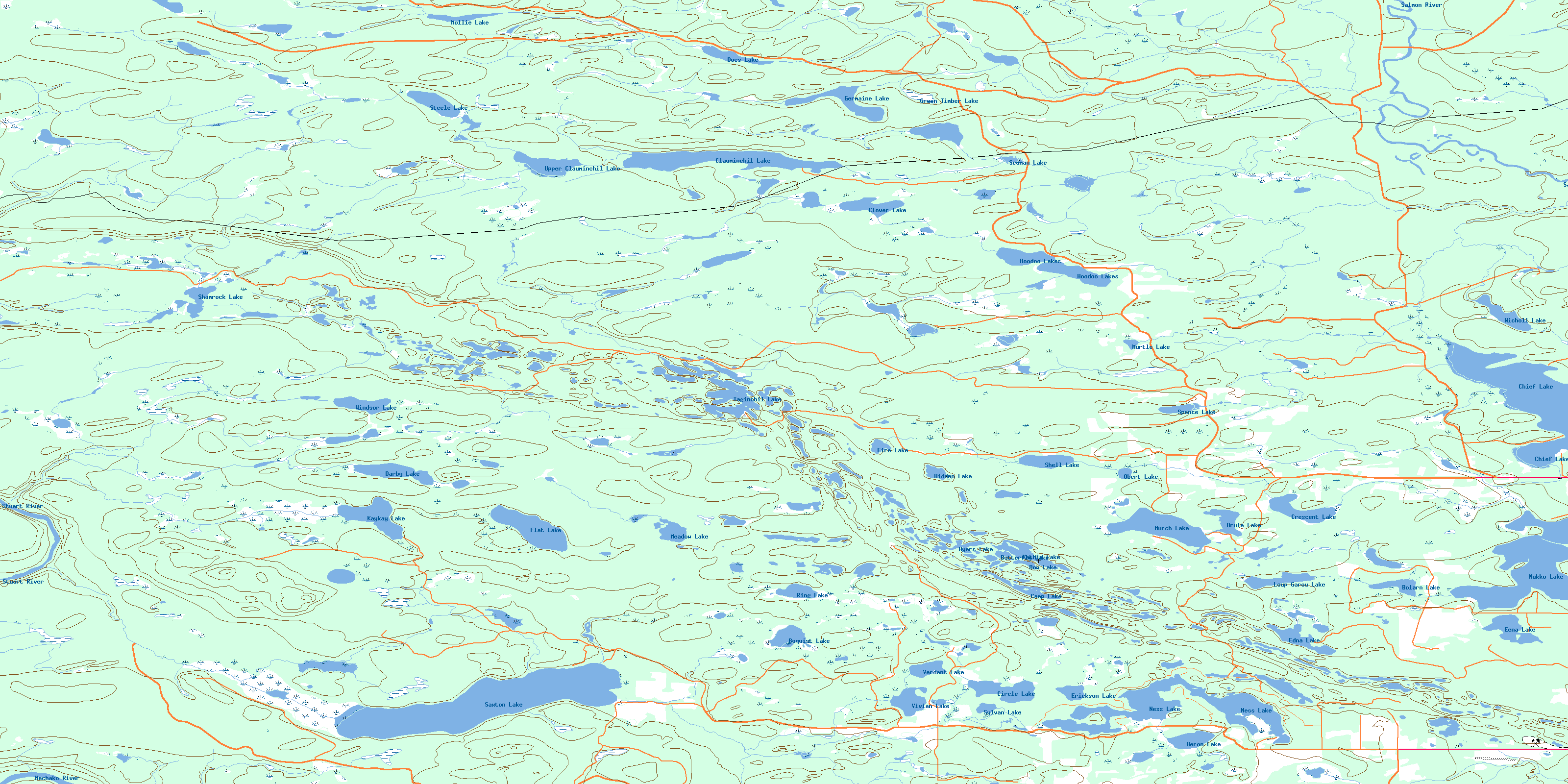
© Department of Natural Resources Canada. All rights reserved.
093J Related Maps:
093J Mcleod Lake093J01 Giscome
093J02 Salmon Valley
093J03 Saxton Lake
093J04 Knight Creek
093J05 Great Beaver Lake
093J06 Bugle Lake
093J07 Summit Lake
093J08 Averil Lake
093J09 Hominka River
093J10 Tacheeda Lakes
093J11 Weedon Lake
093J12 Carrier Lake
093J13 Salmon Lake
093J14 Carp Lake
093J15 Firth Lake
093J16 Anzac River
