Endako Topo Map Online
Download Free Topo Map Sheet 093K03 at 1:50,000 scale
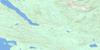
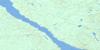
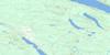
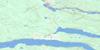
093K03 Endako Topo Map
To view this map, mouse over the map preview on the right.
You can also download this topo map for free:
093K03 Endako high-resolution topo map image.
Maps for the Endako topo map sheet 093K03 at 1:50,000 scale are also available in these versions:
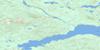
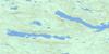
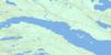
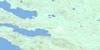
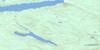
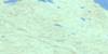
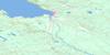
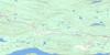
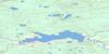
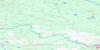
Endako Surrounding Area Topo Maps
 |
 |
 |
 |
 |
 |
 |
 |
 |
 |
 |
 |
 |
 |
 |
 |
© Department of Natural Resources Canada. All rights reserved.
Endako Gazetteer
The following places can be found on topographic map sheet 093K03 Endako:
Endako Topo Map: Capes
Alligator PointEndako Topo Map: Indian Reserves
Chapel Park Indian Reserve 28Réserve indienne Chapel Park 28
Réserve indienne Sheraton Creek 19
Sheraton Creek Indian Reserve 19
Endako Topo Map: Lakes
Burns LakeCasey Lake
Cheskwa Lake
Co-op Lake
Craig Lake
Endako Marsh Lake
François Lake
Haney Lake
Hanson Lake
Loch Garry
MacDonald Lake
Martin Lake
Owl Lake
Peace Lake
Primer Lake
Richmond Lake
Savory Lake
Segundo Lake
Shovel Lake
Tatin Lake
Tchesinkut Lake
Tercer Lake
Endako Topo Map: Mountains
Hicks HillSavory Ridge
Endako Topo Map: Major municipal/district area - major agglomerations
Regional District of Bulkley-NechakoEndako Topo Map: Conservation areas
Blenkin Memorial ParkEndako Topo Map: Plains
Interior PlateauNechako Plateau
Endako Topo Map: Rivers
Banguarel CreekCheskwa Creek
Endako River
Four Mile Creek
Four Mile Creek
Ormond Creek
Peace Creek
Sam Ross Creek
Sheraton Creek
Short Creek
Shovel Creek
Stellako River
Sweetnam Creek
Tatin Creek
Tchesinkut Creek
Tibbets Creek
Endako Topo Map: Unincorporated areas
EndakoGlenannan
Priestly
Savory
Sheraton
Tibbets
Watson
Endako Topo Map: Villages
Fraser Lake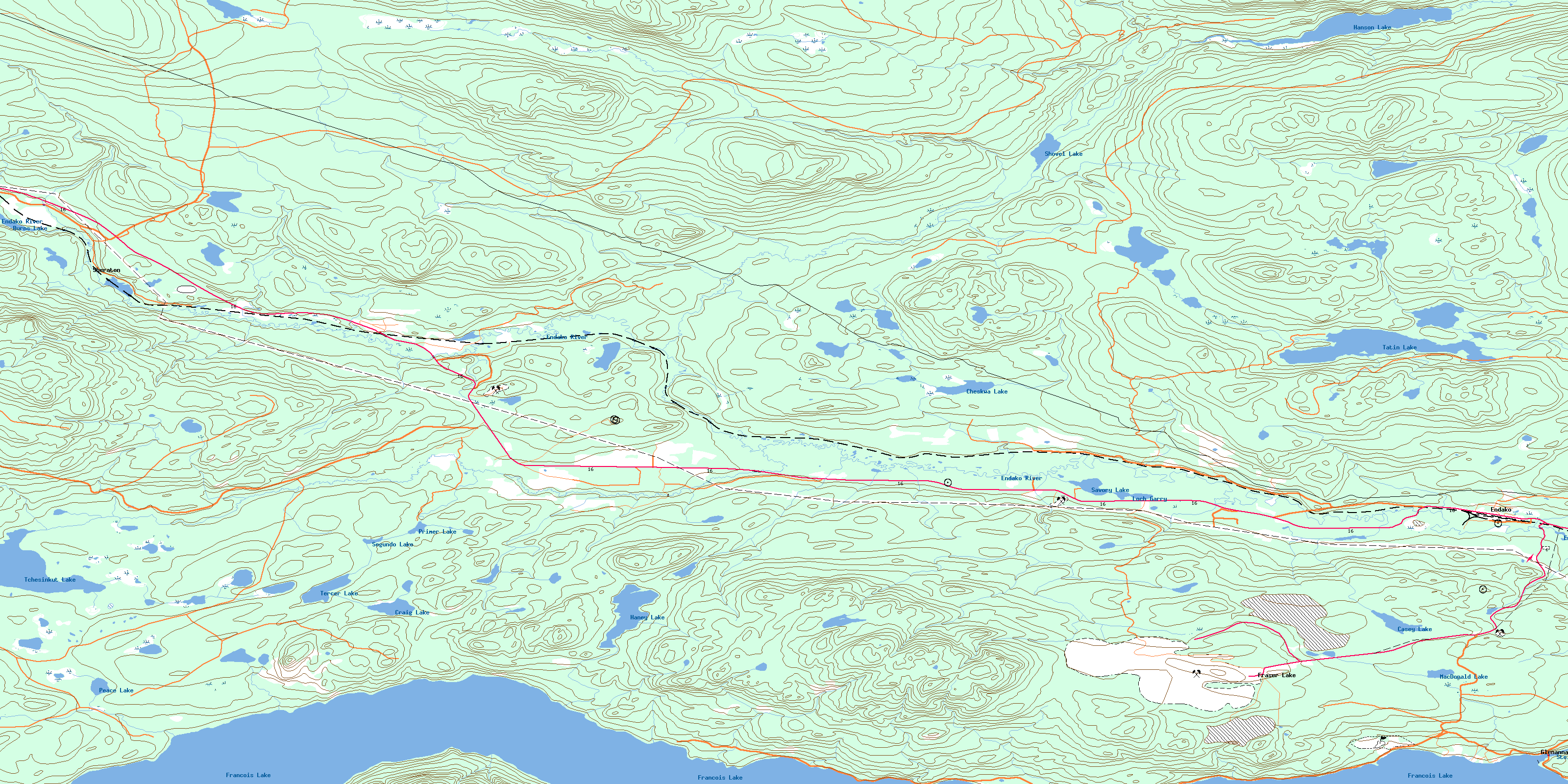
© Department of Natural Resources Canada. All rights reserved.
093K Related Maps:
093K Fort Fraser093K01 Vanderhoof
093K02 Fraser Lake
093K03 Endako
093K04 Burns Lake
093K05 Decker Lake
093K06 Taltapin Lake
093K07 Shass Mountain
093K08 Fort St James
093K09 Pinchi Lake
093K10 Stuart Lake
093K11 Cunningham Lake
093K12 Pendleton Bay
093K13 Tochcha Lake
093K14 Trembleur Lake
093K15 Inzana Lake
093K16 Tezzeron Creek
