Shass Mountain Topo Map Online
Download Free Topo Map Sheet 093K07 at 1:50,000 scale
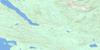
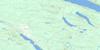
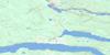
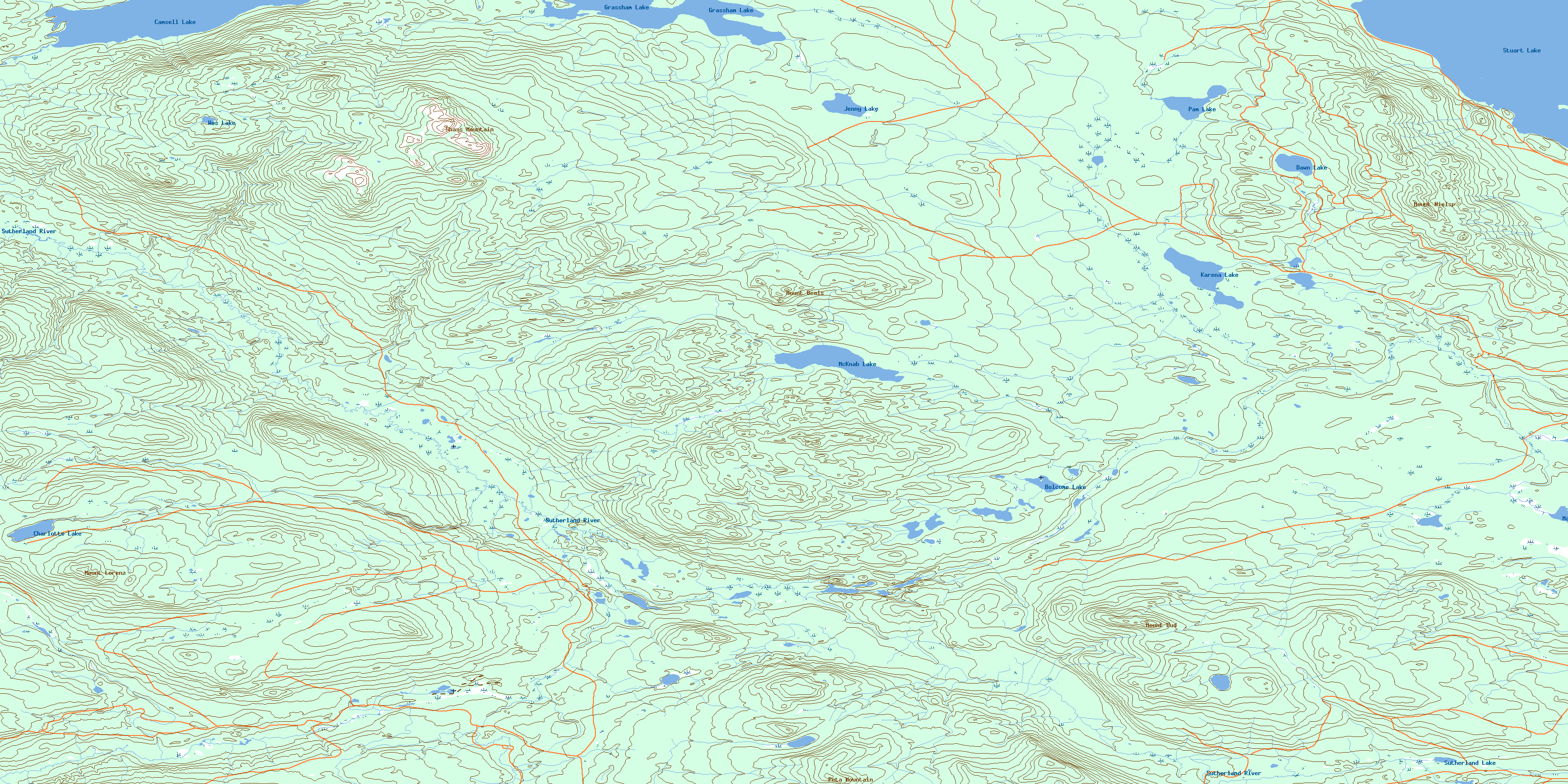
093K07 Shass Mountain Topo Map
To view this map, mouse over the map preview on the right.
You can also download this topo map for free:
093K07 Shass Mountain high-resolution topo map image.
Maps for the Shass Mountain topo map sheet 093K07 at 1:50,000 scale are also available in these versions:
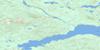
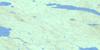
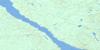
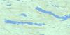
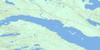
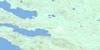
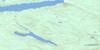
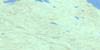
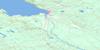
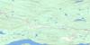
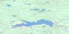
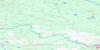
Shass Mountain Surrounding Area Topo Maps
 |
 |
 |
 |
 |
 |
 |
 |
 |
 |
 |
 |
 |
 |
 |
 |
© Department of Natural Resources Canada. All rights reserved.
Shass Mountain Gazetteer
The following places can be found on topographic map sheet 093K07 Shass Mountain:
Shass Mountain Topo Map: Bays
Kasaan BayShass Mountain Topo Map: Indian Reserves
Beaver Islands Indian Reserve 8Beaver Islands Indian Reserve 8
Réserve indienne Beaver Islands 8
Réserve indienne Beaver Islands 8
Réserve indienne Shas Dzuhl Koh 35
Shas Dzuhl Koh 35
Shas Dzuhl Koh Indian Reserve 35
Shass Mountain Topo Map: Islands
Beaver IslandDennee Island
Shass Mountain Topo Map: Lakes
Bolcome LakeCamsell Lake
Charlotte Lake
Dawn Lake
Grassham Lake
Jenny Lake
Karena Lake
Marie Lake
McKnab Lake
Nilan Lake
Pam Lake
Stuart Lake
Sutherland Lake
Wes Lake
Shass Mountain Topo Map: Mountains
Mount BealsMount Bud
Mount Lorenz
Mount Nielsp
Peta Mountain
Shass Mountain
Shass Mountain Topo Map: Major municipal/district area - major agglomerations
Regional District of Bulkley-NechakoShass Mountain Topo Map: Plains
Interior PlateauNechako Plateau
Shass Mountain Topo Map: Rivers
Duncan CreekGravel Creek
Marie Creek
Nielsp Creek
Pitka Creek
Shass Creek
Shovel Creek
Sowchea Creek
Sutherland River
© Department of Natural Resources Canada. All rights reserved.
093K Related Maps:
093K Fort Fraser093K01 Vanderhoof
093K02 Fraser Lake
093K03 Endako
093K04 Burns Lake
093K05 Decker Lake
093K06 Taltapin Lake
093K07 Shass Mountain
093K08 Fort St James
093K09 Pinchi Lake
093K10 Stuart Lake
093K11 Cunningham Lake
093K12 Pendleton Bay
093K13 Tochcha Lake
093K14 Trembleur Lake
093K15 Inzana Lake
093K16 Tezzeron Creek
