Burns Lake Topo Map Online
Download Free Topo Map Sheet 093K04 at 1:50,000 scale
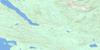
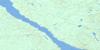
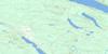
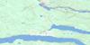
093K04 Burns Lake Topo Map
To view this map, mouse over the map preview on the right.
You can also download this topo map for free:
093K04 Burns Lake high-resolution topo map image.
Maps for the Burns Lake topo map sheet 093K04 at 1:50,000 scale are also available in these versions:
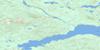
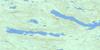
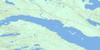
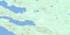
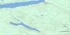
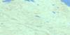
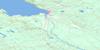
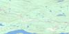
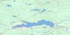
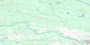
Burns Lake Surrounding Area Topo Maps
 |
 |
 |
 |
 |
 |
 |
 |
 |
 |
 |
 |
 |
 |
 |
 |
© Department of Natural Resources Canada. All rights reserved.
Burns Lake Gazetteer
The following places can be found on topographic map sheet 093K04 Burns Lake:
Burns Lake Topo Map: Bays
Owens BayBurns Lake Topo Map: Indian Reserves
Burns Lake Indian Reserve 18Chapel Park Indian Reserve 28
Cheslatta Indian Reserve 1
François Lake Indian Reserve 7
Poison Creek Indian Reserve 17
Poison Creek Indian Reserve 17A
Réserve indienne Burns Lake 18
Réserve indienne Chapel Park 28
Réserve indienne Cheslatta 1
Réserve indienne Francois Lake 7
Réserve indienne Poison Creek 17
Réserve indienne Poison Creek 17A
Réserve indienne Skins Lake 16A
Réserve indienne Woyenne 27
Skins Lake Indian Reserve 16A
Woyenne Indian Reserve 27
Burns Lake Topo Map: Islands
Gerow IslandJohns Island
John's Island
Burns Lake Topo Map: Lakes
Anders LakeBurns Lake
Conservation Lake
Crystal Lake
Decker Lake
Faber Lake
François Lake
Guyishton Lake
John Brown Lakes
Kager Lake
Loch Lomond
Maud Lake
Mulvaney Lake
Octopus Lake
Shaeffer Lake
Slug Lake
Tchesinkut Lake
Burns Lake Topo Map: Major municipal/district area - major agglomerations
Regional District of Bulkley-NechakoBurns Lake Topo Map: Conservation areas
Burns Lake ParkDead Man's Island Park
Burns Lake Topo Map: Plains
Interior PlateauNechako Plateau
Burns Lake Topo Map: Rivers
Allin CreekBaker Creek
Beach Creek
Eagle Creek
Endako River
Evans Creek
Gerow Creek
Guyishton Creek
Sauls Creek
Sheraton Creek
Snodgrass Creek
Stearns Creek
Tatalrose Creek
Tintagel Creek
Wardrop Creek
Burns Lake Topo Map: Unincorporated areas
Francois LakeFrançois Lake
Keefes
Southbank
Tchesinkut Lake
Tintagel
Burns Lake Topo Map: Villages
Burns Lake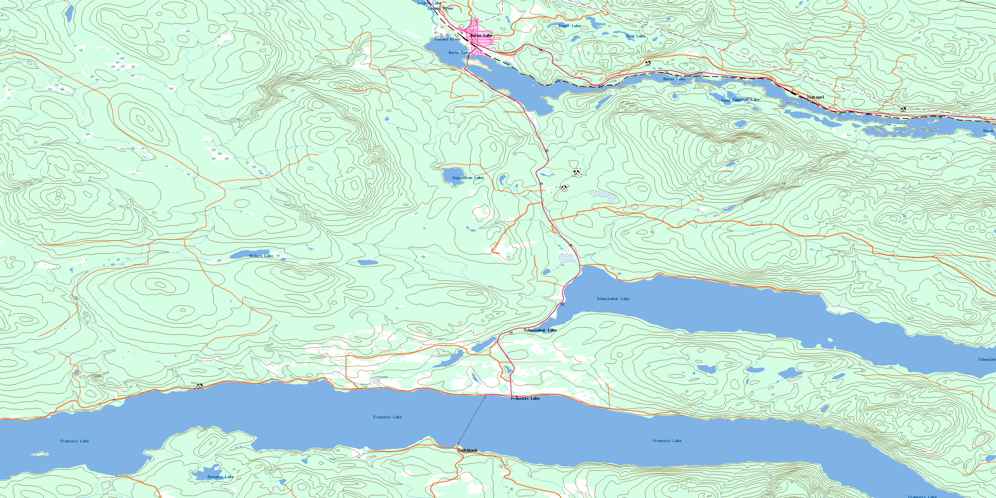
© Department of Natural Resources Canada. All rights reserved.
093K Related Maps:
093K Fort Fraser093K01 Vanderhoof
093K02 Fraser Lake
093K03 Endako
093K04 Burns Lake
093K05 Decker Lake
093K06 Taltapin Lake
093K07 Shass Mountain
093K08 Fort St James
093K09 Pinchi Lake
093K10 Stuart Lake
093K11 Cunningham Lake
093K12 Pendleton Bay
093K13 Tochcha Lake
093K14 Trembleur Lake
093K15 Inzana Lake
093K16 Tezzeron Creek
