Buchanan River Topo Map Online
Download Free Topo Map Sheet 097D08 at 1:50,000 scale
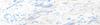
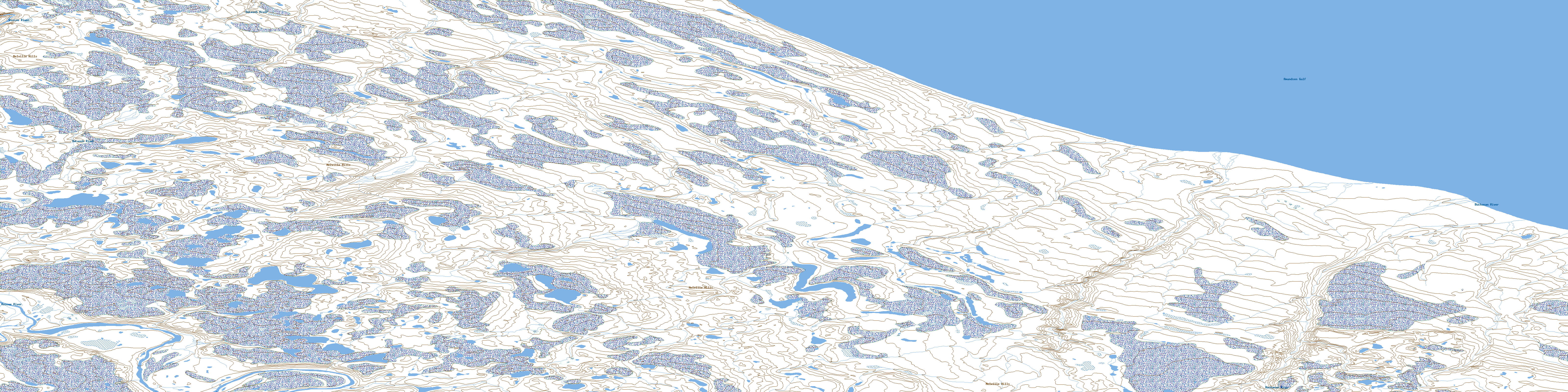
097D08 Buchanan River Topo Map
To view this map, mouse over the map preview on the right.
You can also download this topo map for free:
097D08 Buchanan River high-resolution topo map image.
Maps for the Buchanan River topo map sheet 097D08 at 1:50,000 scale are also available in these versions:
Buchanan River Surrounding Area Topo Maps
 |
 |
 |
|
 |
 |
 |
 |
 |
 |
 |
 |
 |
 |
 |
 |
© Department of Natural Resources Canada. All rights reserved.
Buchanan River Gazetteer
The following places can be found on topographic map sheet 097D08 Buchanan River:
Buchanan River Topo Map: Bays
Amundsen GulfBuchanan River Topo Map: Mountains
Melville HillsMelville Hills
Buchanan River Topo Map: Conservation areas
Parc national du Canada Tuktut NogaitTuktut Nogait National Park of Canada
Buchanan River Topo Map: Rivers
Buchanan RiverOutwash River
Roscoe River
Buchanan River Topo Map: Territory
Northwest TerritoriesTerritoires du Nord-Ouest
© Department of Natural Resources Canada. All rights reserved.
097D Related Maps:
097D Brock River097D01 No Title
097D02 No Title
097D03 La Ronciere Falls
097D04 Rummy Lake
097D05 Rat Lake
097D06 Melville Hills
097D07 No Title
097D08 Buchanan River
097D09 Clinton Point
097D10 Palgrave River
097D11 Fish Lake
097D12 Clapperton Island
097D13E Halcro Point
097D14 Pearce Point
097D15 Keats Point
