Burnaby Island Topo Map Online
Download Free Topo Map Sheet 103B06 at 1:50,000 scale
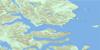
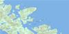
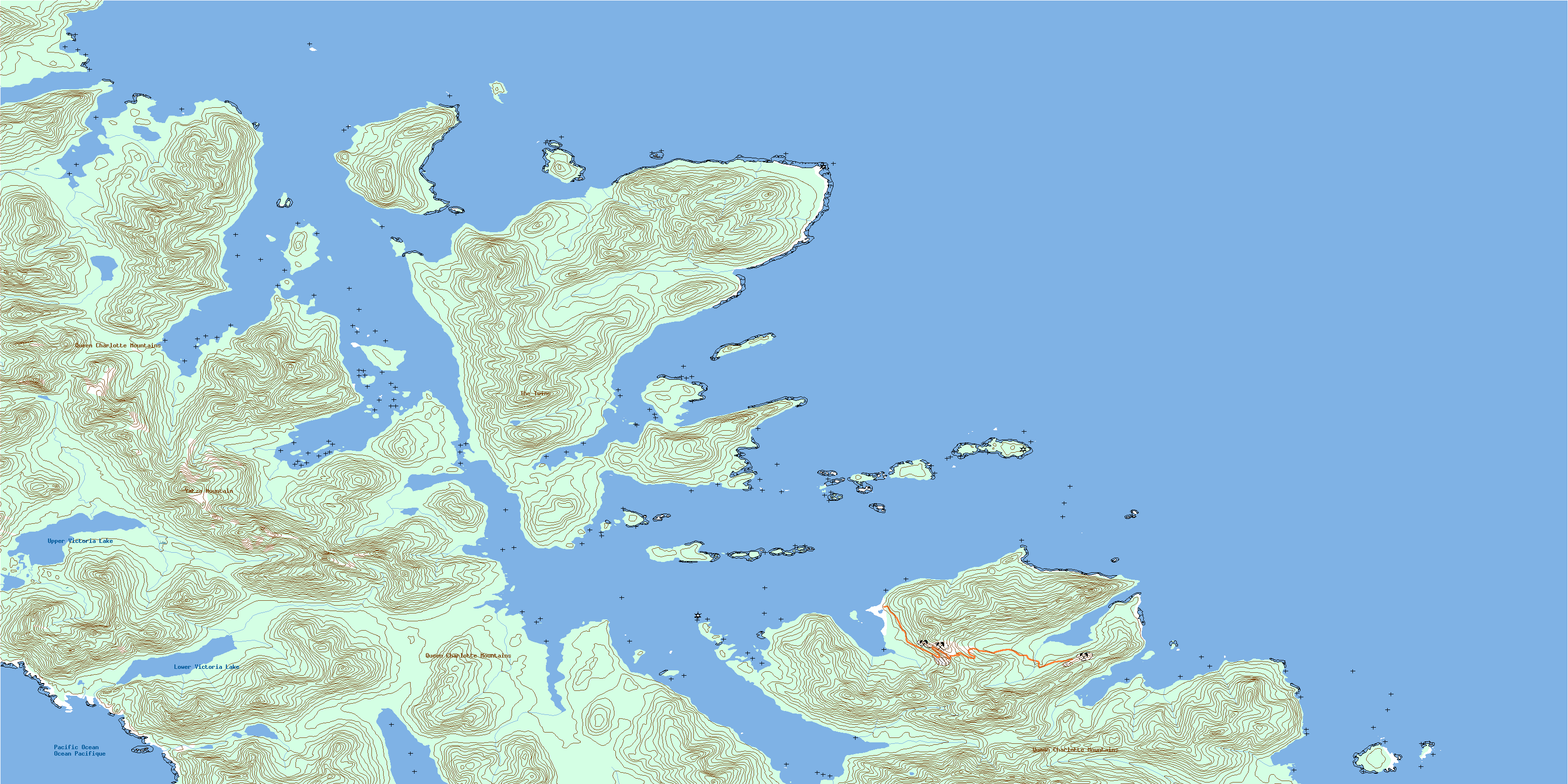
103B06 Burnaby Island Topo Map
To view this map, mouse over the map preview on the right.
You can also download this topo map for free:
103B06 Burnaby Island high-resolution topo map image.
Maps for the Burnaby Island topo map sheet 103B06 at 1:50,000 scale are also available in these versions:
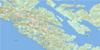
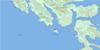
Burnaby Island Surrounding Area Topo Maps
 |
|||
 |
 |
||
 |
 |
||
 |
 |
© Department of Natural Resources Canada. All rights reserved.
Burnaby Island Gazetteer
The following places can be found on topographic map sheet 103B06 Burnaby Island:
Burnaby Island Topo Map: Bays
Bag HarbourBluejay Cove
Collison Bay
Flamingo Inlet
Francis Bay
George Bay
Harriet Harbour
Huston Inlet
Ikeda Bay
Ikeda Cove
Island Bay
Jedway Bay
Juan Perez Sound
Kingfisher Cove
Marshall Inlet
Matheson Inlet
Newberry Cove
Pelican Cove
Poole Inlet
Section Cove
Skaat Harbour
Skincuttle Inlet
Slim Inlet
Staki Bay
Swan Bay
Tangle Cove
Werner Bay
Burnaby Island Topo Map: Capes
Abraham PointAwaya Point
Deluge Point
Dolomite Point
Funter Point
Gona Point
Goodwin Point
Gottlob Point
Huston Point
Ikeda Point
Jedway Point
Kankidas Point
Newberry Point
Pelican Point
Poole Point
Rebecca Point
Scudder Point
Smithe Point
Wanderer Point
Burnaby Island Topo Map: Channels
Burnaby StraitDolomite Narrows
Hecate Strait
Burnaby Island Topo Map: Islands
Alder IslandAll Alone Stone
Arichika Island
Bolkus Islands
Boulder Island
Burnaby Island
Centre Islet
Copper Islands
East Copper Island
George Island
Harriet Island
Howay Island
Huxley Island
Îles de la Reine-Charlotte
Jeffrey Island
Kat Island
Koga Islet
Moresby Island
Nakons Islet
Nest Islets
Nomad Islet
Park Island
Queen Charlotte Islands
Rankine Islands
Rock Island
Rock Islet
Sea Pigeon Island
Section Island
Sels Islet
Skincuttle Island
Slug Islet
Swan Islands
Wanderer Island
Burnaby Island Topo Map: Lakes
Lower Victoria LakeUpper Victoria Lake
Burnaby Island Topo Map: Mountains
Queen Charlotte MountainsThe Twins
Yatza Mountain
Burnaby Island Topo Map: Conservation areas
Gwaii Haanas National Park Reserve and Haida Heritage SiteRéserve de parc national et site du patrimoine haïda Gwaii Haanas
Burnaby Island Topo Map: Rivers
Arrow CreekForgotten Creek
Harriet Creek
Ikeda Creek
Jedway Creek
Marker Creek
Oxalis Creek
Standard Creek
Burnaby Island Topo Map: Shoals
Arichika ShoalBare Rock
Bishop Rock
Bush Rock
Elswa Rock
Goodwin Rock
Green Rock
Gull Rock
Haida Rock
Inner Low Rock
Joyce Rocks
Limestone Rock
Low Black Rock
Marion Rock
Monument Rock
Nest Rocks
New England Rock
New England Rocks
Oliver Rock
Saw Reef
Burnaby Island Topo Map: Unincorporated areas
IkedaJedway
© Department of Natural Resources Canada. All rights reserved.
