Louise Island Topo Map Online
Download Free Topo Map Sheet 103B13 at 1:50,000 scale
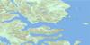
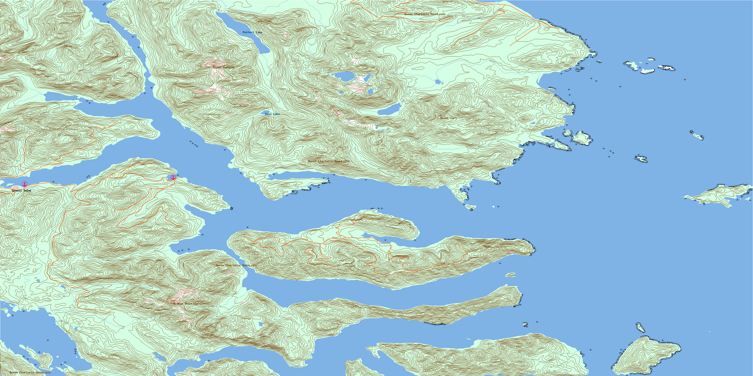
103B13 Louise Island Topo Map
To view this map, mouse over the map preview on the right.
You can also download this topo map for free:
103B13 Louise Island high-resolution topo map image.
Maps for the Louise Island topo map sheet 103B13 at 1:50,000 scale are also available in these versions:
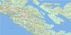
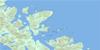
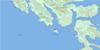
Louise Island Surrounding Area Topo Maps
 |
|||
 |
 |
||
 |
 |
||
 |
 |
© Department of Natural Resources Canada. All rights reserved.
Louise Island Gazetteer
The following places can be found on topographic map sheet 103B13 Louise Island:
Louise Island Topo Map: Bays
Barrier BayBotany Bay
Botany Inlet
Breaker Bay
Carmichael Arm
Cecil Cove
Crescent Inlet
Cumshewa Inlet
Dana Inlet
Fairfax Inlet
Lagoon Inlet
Laskeek Bay
Logan Inlet
Pacofi Bay
Rockfish Harbour
Selwyn Inlet
Sewell Inlet
Skedans Bay
Stalkungi Cove
Tasoo Harbour
Tasu Sound
Thurston Harbour
Trotter Bay
Two Mountain Bay
Wilson Bay
Wright Inlet
Louise Island Topo Map: Capes
Alford PointAlfred Point
Corlett Peninsula
Dass Point
Girard Point
Harbridge Point
Heming Head
Kilmington Point
Klue Point
Kwun Point
McGee Point
Nelson Point
Porter Head
Selwyn Point
Sewell Point
Skedans Point
Stalkungi Point
Tangil Peninsula
Thompson Point
Thomson Point
Triumph Point
Vertical Point
Wester Point
White Point
Louise Island Topo Map: Channels
Carmichael PassageDana Passage
Darwin Sound
Hecate Strait
Klue Passage
Louise Narrows
Tanu Passage
Louise Island Topo Map: Indian Reserves
Réserve indienne Skedance 8Réserve indienne Tanoo 9
Skedance Indian Reserve 8
Tanoo Indian Reserve 9
Louise Island Topo Map: Islands
Botany IslandFlower Pot Island
Flyaway Islet
Haswell Island
Helmet Island
Îles de la Reine-Charlotte
Kunga Island
Limestone Islands
Lost Islands
Louise Island
Low Island
Moresby Island
Queen Charlotte Islands
Reef Island
Richardson Island
Skedans Islands
South Low Island
Swinburne Islet
Talunkwan Island
Tanoo Island
Tanu Island
Titul Island
Wilson Islet
Louise Island Topo Map: Lakes
Dass LakeMathers Lake
Louise Island Topo Map: Mountains
Kermode MountainMount Carl
Mount Kermode
Queen Charlotte Mountains
Queen Charlotte Ranges
Redtop Mountain
Redtop Mountains
Louise Island Topo Map: Conservation areas
Gwaii Haanas National Park Reserve and Haida Heritage SiteRéserve de parc national et site du patrimoine haïda Gwaii Haanas
Louise Island Topo Map: Rivers
Big Goose CreekChadsey Creek
Clint Creek
Dass Creek
Duck Creek
Edwards Creek
Flat Creek
Jimmy Wilson Creek
Little Goose Creek
Mathers Creek
Pacofi Creek
Skedans Creek
Thorsen Creek
Traynor Creek
Waterfall Creek
Louise Island Topo Map: Shoals
Alford RockAmethyst Rock
Amur Rock
Beatrice Shoal
Dwight Rock
Kingsway Rock
Locke Shoal
McConnachie Shoal
Nob Rock
Procter Rocks
Selwyn Rocks
Tanu Rock
Louise Island Topo Map: Unincorporated areas
PacofiSewell Inlet
Skedans
Tanu
Thurston Harbour
© Department of Natural Resources Canada. All rights reserved.
