Lyman Point Topo Map Online
Download Free Topo Map Sheet 103B02 at 1:50,000 scale
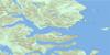
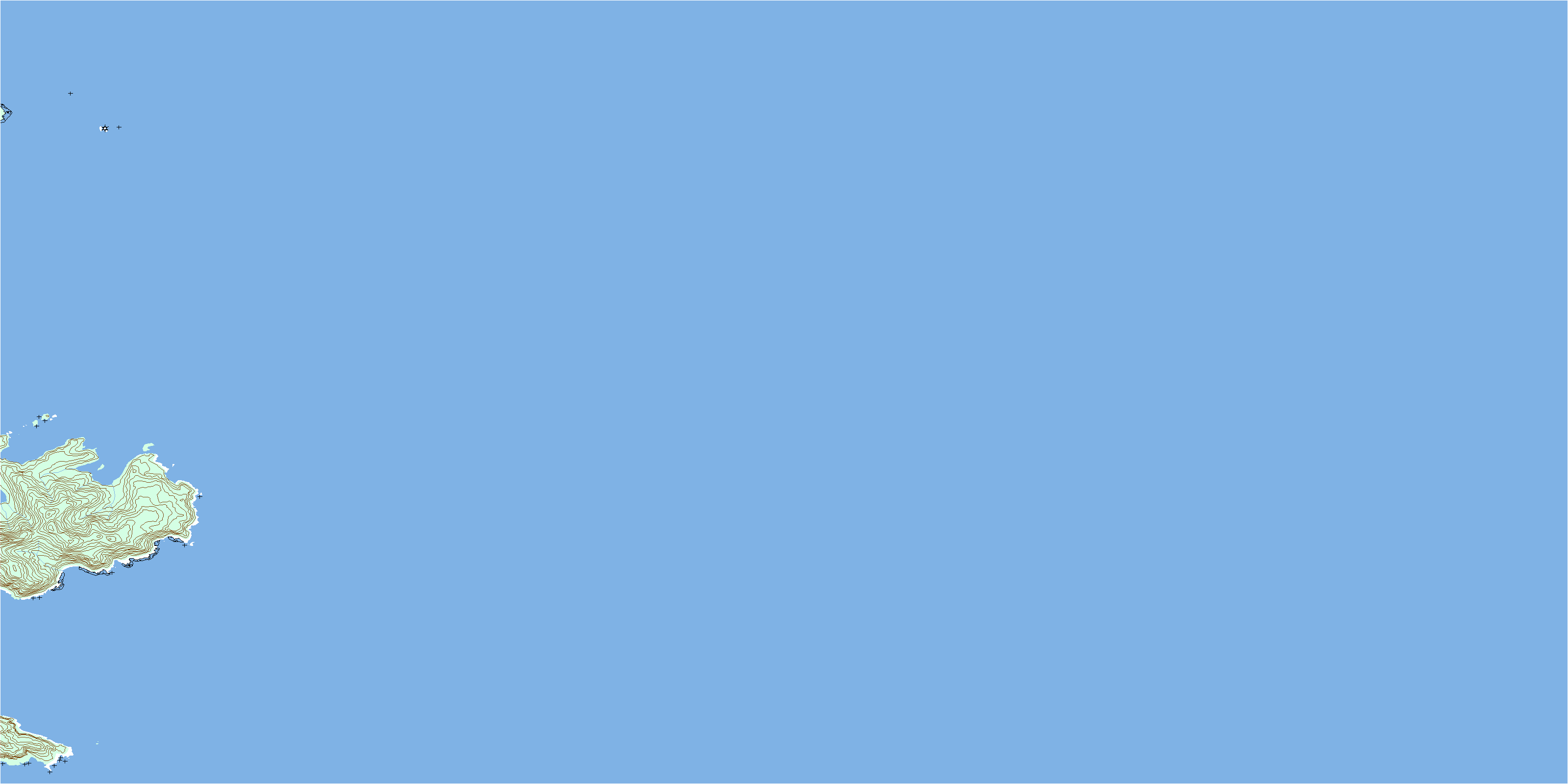
103B02 Lyman Point Topo Map
To view this map, mouse over the map preview on the right.
You can also download this topo map for free:
103B02 Lyman Point high-resolution topo map image.
Maps for the Lyman Point topo map sheet 103B02 at 1:50,000 scale are also available in these versions:
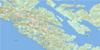
Lyman Point Surrounding Area Topo Maps
 |
|||
 |
 |
||
 |
 |
||
 |
 |
© Department of Natural Resources Canada. All rights reserved.
Lyman Point Gazetteer
The following places can be found on topographic map sheet 103B02 Lyman Point:
Lyman Point Topo Map: Bays
Keeweenah BayLuxana Bay
Montserrat Bay
Lyman Point Topo Map: Capes
Annis PointBenjamin Point
Blackburn Peninsula
Gull Point
Jenkins Point
Lyman Point
Prevost Point
Lyman Point Topo Map: Channels
Hecate StraitLyman Point Topo Map: Islands
Gull IsletÎles de la Reine-Charlotte
Kunghit Island
Marshall Island
Moresby Island
Queen Charlotte Islands
Rainy Islands
Lyman Point Topo Map: Conservation areas
Gwaii Haanas National Park Reserve and Haida Heritage SiteRéserve de parc national et site du patrimoine haïda Gwaii Haanas
Lyman Point Topo Map: Shoals
Christian RockGarcin Rocks
Grant Bank
Gull Banks
Huff Rock
© Department of Natural Resources Canada. All rights reserved.
