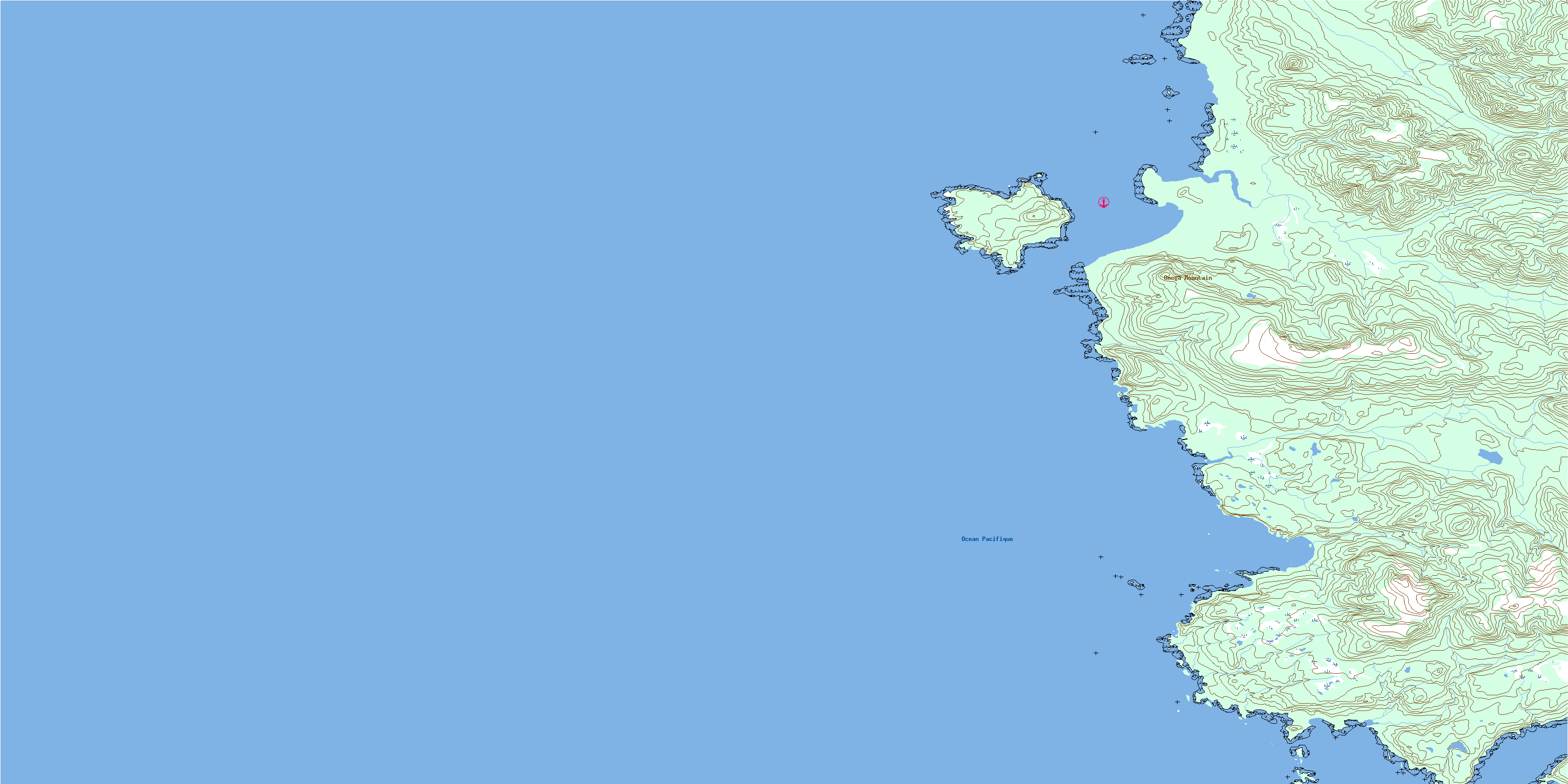
Frederick Island Topo Map Online
Download Free Topo Map Sheet 103F14 at 1:50,000 scale
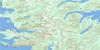
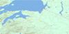
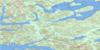
103F14 Frederick Island Topo Map
To view this map, mouse over the map preview on the right.
You can also download this topo map for free:
103F14 Frederick Island high-resolution topo map image.
Maps for the Frederick Island topo map sheet 103F14 at 1:50,000 scale are also available in these versions:
Frederick Island Surrounding Area Topo Maps
 |
 |
 |
|
 |
 |
||
 |
 |
||
 |
 |
© Department of Natural Resources Canada. All rights reserved.
Frederick Island Gazetteer
The following places can be found on topographic map sheet 103F14 Frederick Island:
Frederick Island Topo Map: Bays
Ingraham BayOtard Bay
Peril Bay
Tian Bay
Frederick Island Topo Map: Capes
Beavis PointDalton Point
Ellis Point
Hope Point
Kennecott Point
Morgan Point
Tian Head
Tian Point
Frederick Island Topo Map: Indian Reserves
Réserve indienne Susk 17Réserve indienne Tiahn 27
Susk Indian Reserve 17
Tiahn Indian Reserve 27
Frederick Island Topo Map: Islands
Beavis IsletsFrederick Island
Graham Island
Îles de la Reine-Charlotte
Queen Charlotte Islands
Tian Islets
Frederick Island Topo Map: Mountains
Beehive HillConspicuous Cone
Omega Mountain
Queen Charlotte Mountains
Frederick Island Topo Map: Rivers
Blue CreekCave Creek
Haines Creek
Haines River
Hana Koot Creek
Joseph Creek
Frederick Island Topo Map: Shoals
Boussole RockJoseph Rocks
Tian Rock
© Department of Natural Resources Canada. All rights reserved.
