Alice Arm Topo Map Online
Download Free Topo Map Sheet 103P06 at 1:50,000 scale
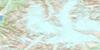
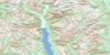
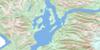
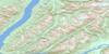
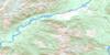
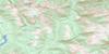
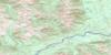
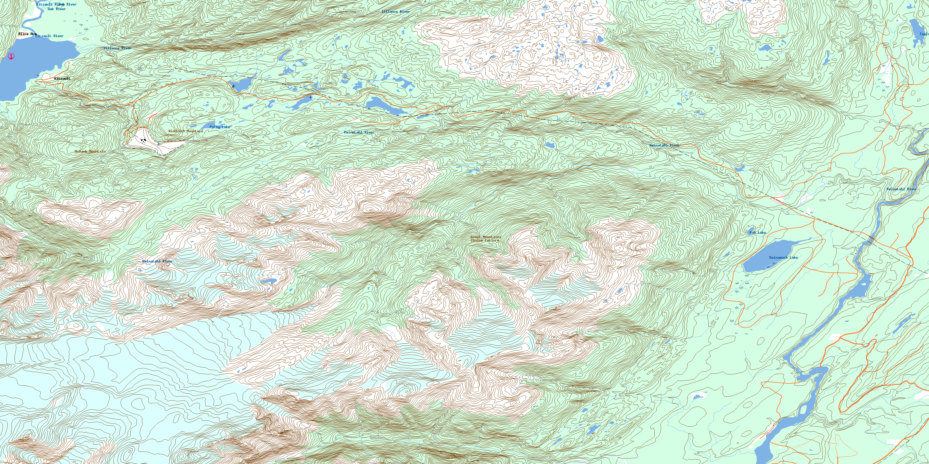
103P06 Alice Arm Topo Map
To view this map, mouse over the map preview on the right.
You can also download this topo map for free:
103P06 Alice Arm high-resolution topo map image.
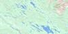
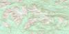
Maps for the Alice Arm topo map sheet 103P06 at 1:50,000 scale are also available in these versions:
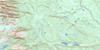
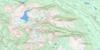
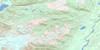
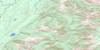
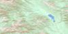
Alice Arm Surrounding Area Topo Maps
 |
 |
 |
 |
 |
 |
 |
 |
 |
 |
 |
 |
 |
 |
 |
 |
© Department of Natural Resources Canada. All rights reserved.
Alice Arm Gazetteer
The following places can be found on topographic map sheet 103P06 Alice Arm:
Alice Arm Topo Map: Bays
Alice ArmAlice Arm Topo Map: Capes
Illiance PointAlice Arm Topo Map: Indian Reserves
Aiyansh Indian Reserve 1Anokswok Indian Reserve 59
Gitquinmiyaue Indian Reserve 76
Gitzault Indian Reserve 24
Gwindebilk Indian Reserve 51
Kitladamax Indian Reserve 1A
Kwinamuck IndianReserve 49
Réserve indienne Aiyansh 1
Réserve indienne Anokswok 59
Réserve indienne Gitquinmiyaue 76
Réserve indienne Gitzault 24
Réserve indienne Gwindebilk 51
Réserve indienne Kitladamax 1A
Réserve indienne Kwinamuck 49
Réserve indienne Taylor Lake 50
Réserve indienne Tsimmanweenclist 2
Taylor Lake Indian Reserve 50
Tsimmanweenclist Indian Reserve 2
Alice Arm Topo Map: Lakes
Kwinamuck LakePatsy Lake
Rob Lake
Taylor Lake
Alice Arm Topo Map: Mountains
Boundary RangesChaîne Côtière
Coast Mountains
Dawson Range
Dawson Ridge
Mohawk Mountain
Widdzech Mountain
Alice Arm Topo Map: Major municipal/district area - major agglomerations
Regional District of Kitimat-StikineAlice Arm Topo Map: Conservation areas
Strombeck ParkAlice Arm Topo Map: Rivers
Chemainuk CreekChigatlque Creek
Clary Creek
Dak River
Falls Creek
Foxy Creek
Hoan Creek
Illiance River
Khimatlque Creek
Kitsault River
Kshadin Creek
Ksi Gwinhat'al
Ksi Sgasginist
Kwinamuck Creek
Kwinatahl River
Lime Creek
Maughlin Creek
Morley Creek
North Seaskinnish Creek
Patsy Creek
Roundy Creek
Seaskinnish Creek
Shumal Creek
Theophilus Creek
Wilauks Creek
Alice Arm Topo Map: River features
Ts'im AnwiihlistAlice Arm Topo Map: Miscellaneous sites
Gits'oohlAlice Arm Topo Map: Unincorporated areas
AiyanshAlice Arm
Gitlaxksiip
Kitsault
Silver City
© Department of Natural Resources Canada. All rights reserved.
103P Related Maps:
103P Nass River103P01 Kitwanga
103P02 Lava Lake
103P03 Tseax River
103P04 Greenville
103P05 Observatory Inlet
103P06 Alice Arm
103P07 Kiteen River
103P08 Kitwanga Lake
103P09 Kispiox River
103P10 Cranberry River
103P11 Kinskuch River
103P12 Hastings Arm
103P13 Stewart
103P14 Paw Lake
103P15 Brown Bear Lake
103P16 Kuldo Creek
